Property Information Report
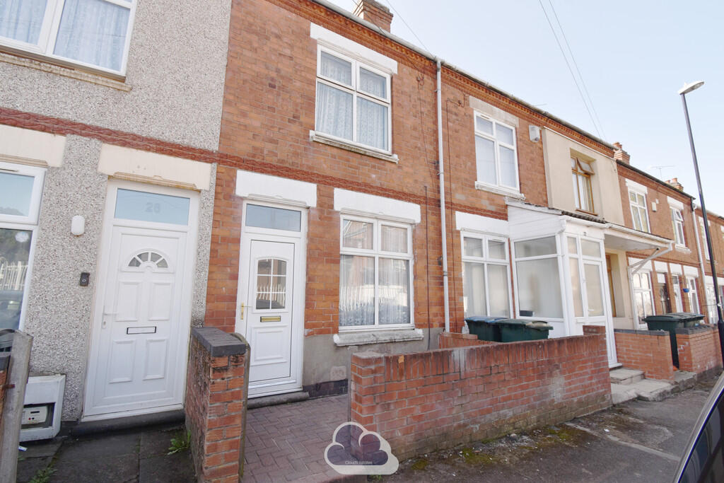
Mirpur Close
Coventry, CV6
Last Sold - Sep, 2020

Description
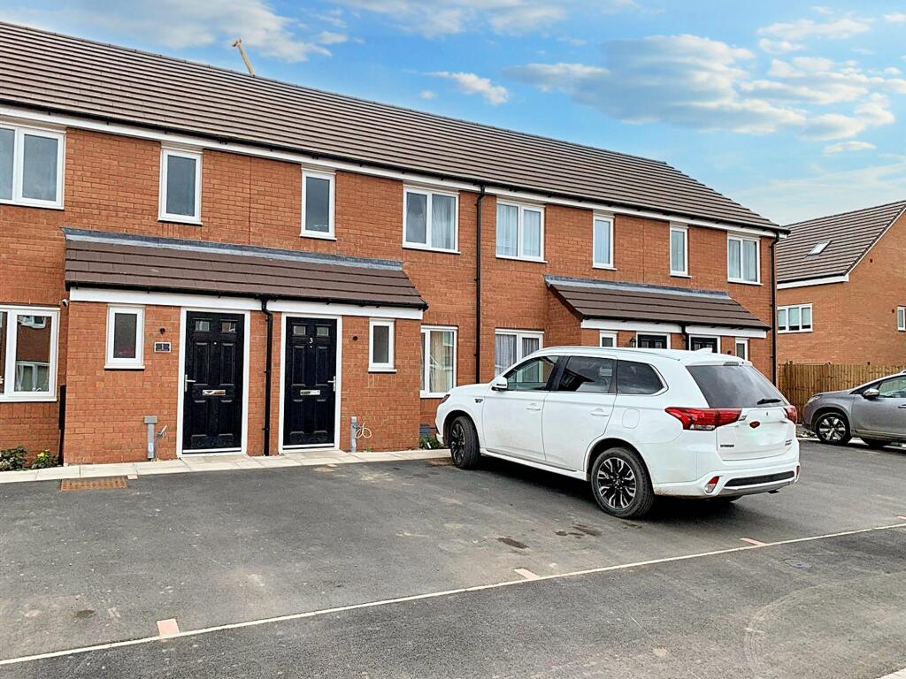
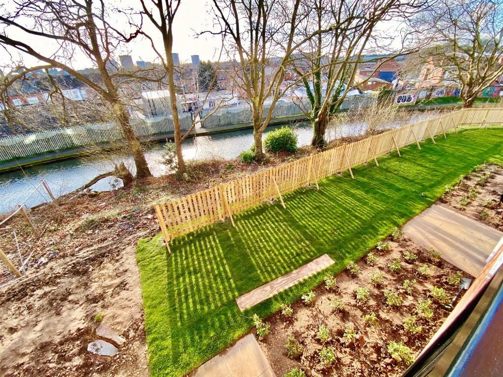
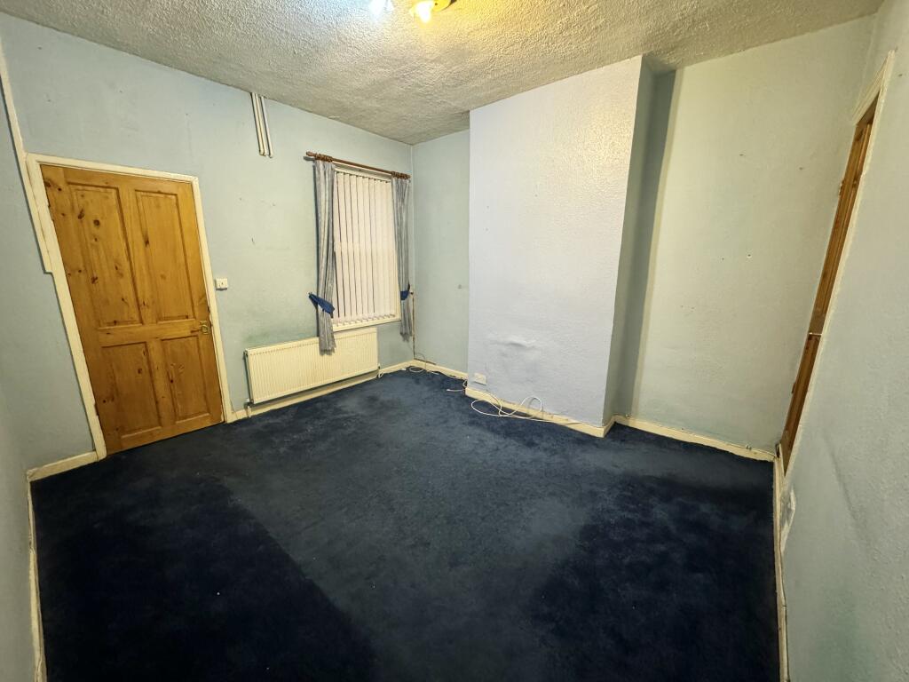
Located in the Paragon Park Estate this two bedroom house is very well presented with parking to the front of the property. The property comprises, hallway, living room, kitchen/dining area, cloakroom, bathroom with shower over the bath and two bedrooms with a low maintenance garden to the rear. Offered for sale with no upward chain.
Key Facts
Title Plan
 Contains OS data © Crown copyright 2025
Title Information
Details provided by the Land Registry
- Title Number
- MM145845
- Plot Size
- 0.03 acres (129 sq metres)
Street View
House Prices in Coventry
Last 12 months
-
Average Price Change
£12,145
Increased by 6%
-
Terraced Price Change
£9,890
Increased by 5%
Average House Prices
Last 12 months for all property types.
Since Last Sale - 18th September 2020
-
Average Price Change
£39,922
Increased by 22%
-
Terraced Price Change
£36,782
Increased by 22%
Average House Prices
Since last sale in 2020 for all property types
EPC

EPC Information
Details taken from the EPC register
- Date
- 2020-08-05
- Valid Until
- 2030-08-04
- Energy Efficiency - Current
- 83
- Energy Efficiency - Potential
- 98
- Environmental Impact - Current
- 87
- Environmental Impact - Potential
- 101
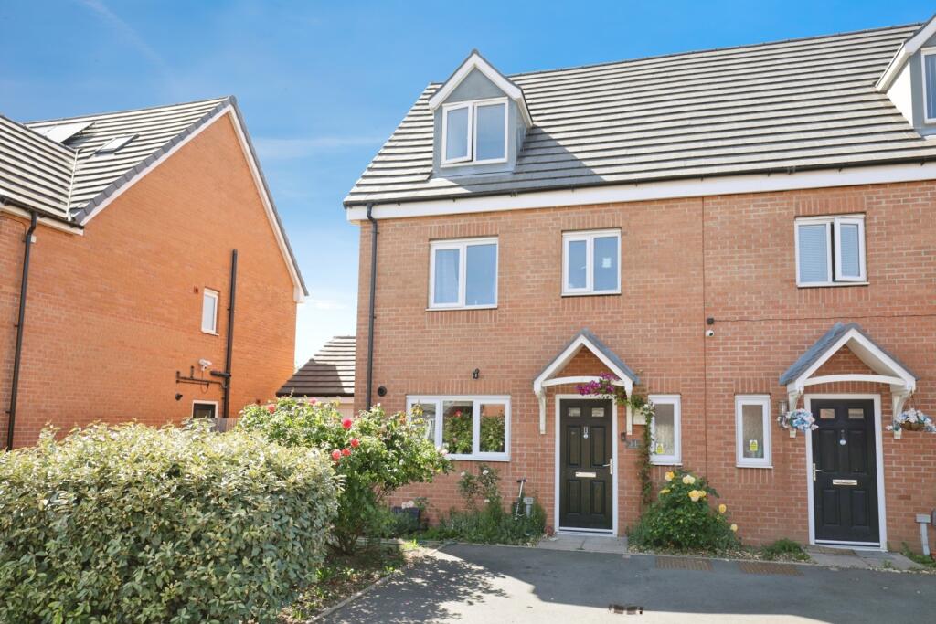
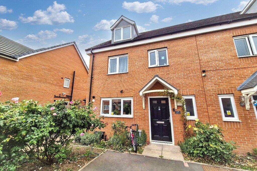
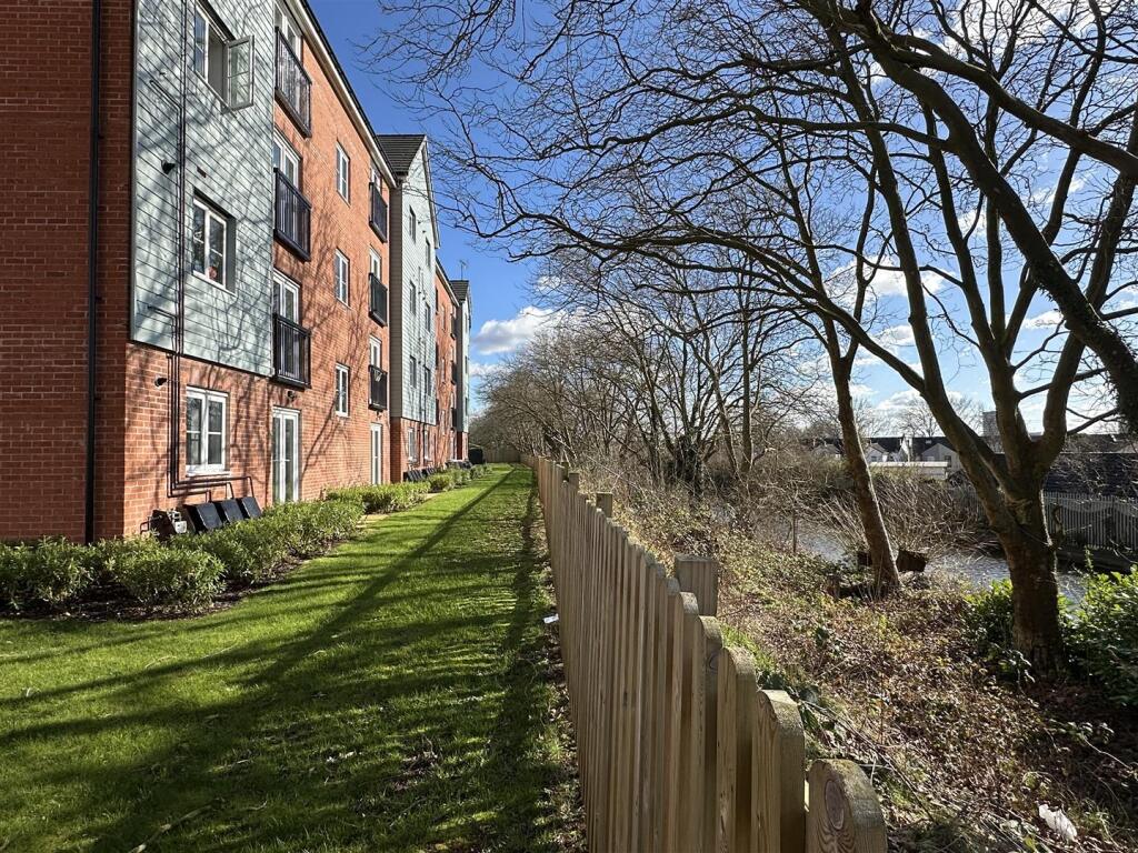
Properties For Sale in the Area
Mirpur Close
8 metres away
Chelmsford Drive
42 metres away
Chelmsford Drive
42 metres away
Webster House
63 metres away
Chelmsford Drive
73 metres away
Chelmsford Drive
0.10 km away
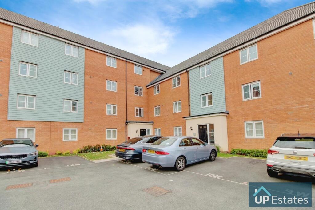
Properties To Let in the Area
Websters House
63 metres away
Matlock House
73 metres away
Apartment
0.10 km away
Edmund Road
0.19 km away
Foleshill Road
0.22 km away
Marpen Road
0.22 km away
Schools
| Name | Type | Postcode | Distance | Rating |
|---|---|---|---|---|
| John Gulson Primary School | Nursery, Primary | CV1 4HB | 0.25 km | Good |
| Broad Heath Community Primary School | Nursery, Primary | CV6 5DP | 0.54 km | Good |
| Hillfields Nursery School | Nursery, Primary | CV1 5GR | 0.67 km | Outstanding |
| Sidney Stringer Primary Academy | Primary | CV1 5GU | 0.77 km | Outstanding |
| Sidney Stringer Academy | Secondary, Post 16 | CV1 5LY | 0.86 km | Good |
Transport
Train Stations
Details provided by Department for Transport
| Name | Distance |
|---|---|
| Coventry Rail Station | 2.35 km |
| Coventry Arena Rail Station | 3.04 km |
| Canley Rail Station | 3.89 km |
Nearest Motorway
Details provided by Department for Transport
| Name | Distance |
|---|---|
| M6 | 4.73 km |
Coverage
- Average Broadband Speed:
-
7mb Basic
-
37mb Superfast
-
1800mb Ultrafast
-
1800mb Overall
- Mobile Coverage:
-
EEOkay
-
O2Good
-
ThreePoor
-
VodafoneGood
Recently Sold Properties in the Area
| Address | Property Type | Distance | Price | Completed |
|---|---|---|---|---|
|
57 Chelmsford Drive Coventry, CV6 5NU |
Terraced | 52 metres away | £208,000 | 11 months ago |
|
47 Chelmsford Drive Coventry, CV6 5NU |
Terraced | 55 metres away | £270,000 | 10 months ago |
|
Apartment 1, Brooklyn House, 30 Owens Road Coventry, CV6 5QX |
Flats/Maisonettes | 0.10 km away | £150,000 | 3 months ago |
|
Apartment 10, Hammond House, 26 Owens Road Coventry, CV6 5QU |
Flats/Maisonettes | 0.17 km away | £155,800 | 11 months ago |
|
Apartment 11, Hammond House, 26 Owens Road Coventry, CV6 5QU |
Flats/Maisonettes | 0.17 km away | £148,000 | 11 months ago |
|
10 Paragon Way Coventry, CV6 5LD |
Detached | 0.20 km away | £330,000 | 8 months ago |
|
6 Paragon Way Coventry, CV6 5LD |
Detached | 0.20 km away | £310,000 | 11 months ago |
|
50 Brooklyn Road Coventry, CV1 4JT |
Terraced | 0.34 km away | £165,000 | 10 months ago |
|
64 Leicester Causeway Coventry, CV1 4HJ |
Terraced | 0.35 km away | £150,000 | 4 months ago |
|
197 Foleshill Road Coventry, CV1 4JZ |
Terraced | 0.35 km away | £78,125 | 10 months ago |
Important Notice - This report is intended for general informational purposes only and should act only as a guide. The report is produced automatically on behalf of Coopers Estate Agents - Coventry by Street Insights, a product of Street Systems Ltd. Street Systems maintains and aggregates data from multiple public data sources and whilst every effort is made to keep information up to date and accurate, we make no representations or warranties of any kind about the accuracy, reliability or completeness of the information contained within this report for any purpose. Any reliance you place on the data contained within this report is strictly at your own risk. In no event will Coopers Estate Agents - Coventry or Street Systems Ltd be liable for any loss or damage including without limitation, indirect or consequential loss or damage, or any loss or damage whatsoever arising from loss of data or profits arising out of, or in connection with, the use of this report.
This report contains public sector information licensed under the Open Government License v3.0
Transaction data and HPI data is produced by HM Land Registry. Crown copyright and database rights 2025