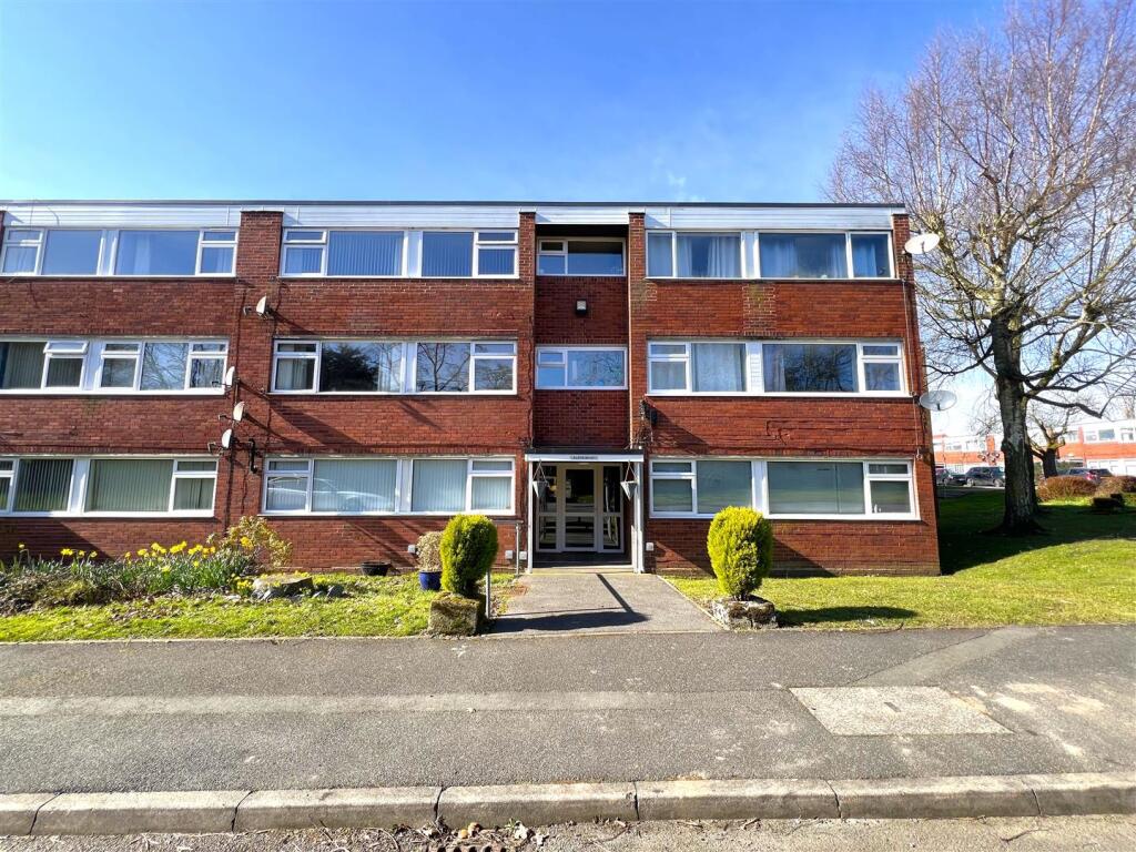
Property Information Report
Upper Eastern Green Lane
Coventry, CV5
Last Sold - Oct, 2022

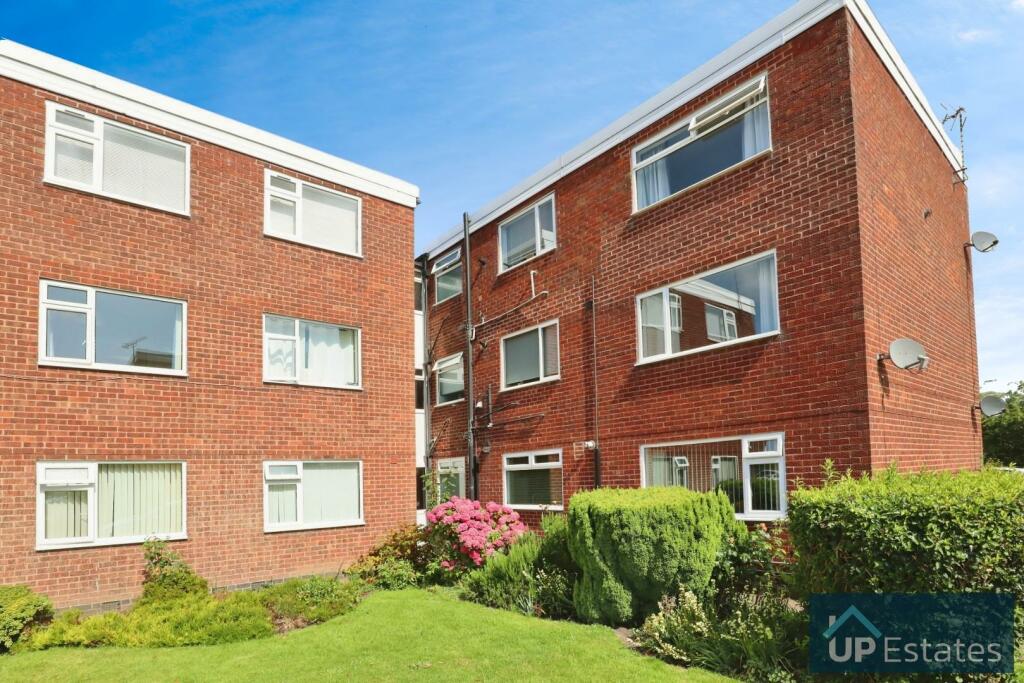
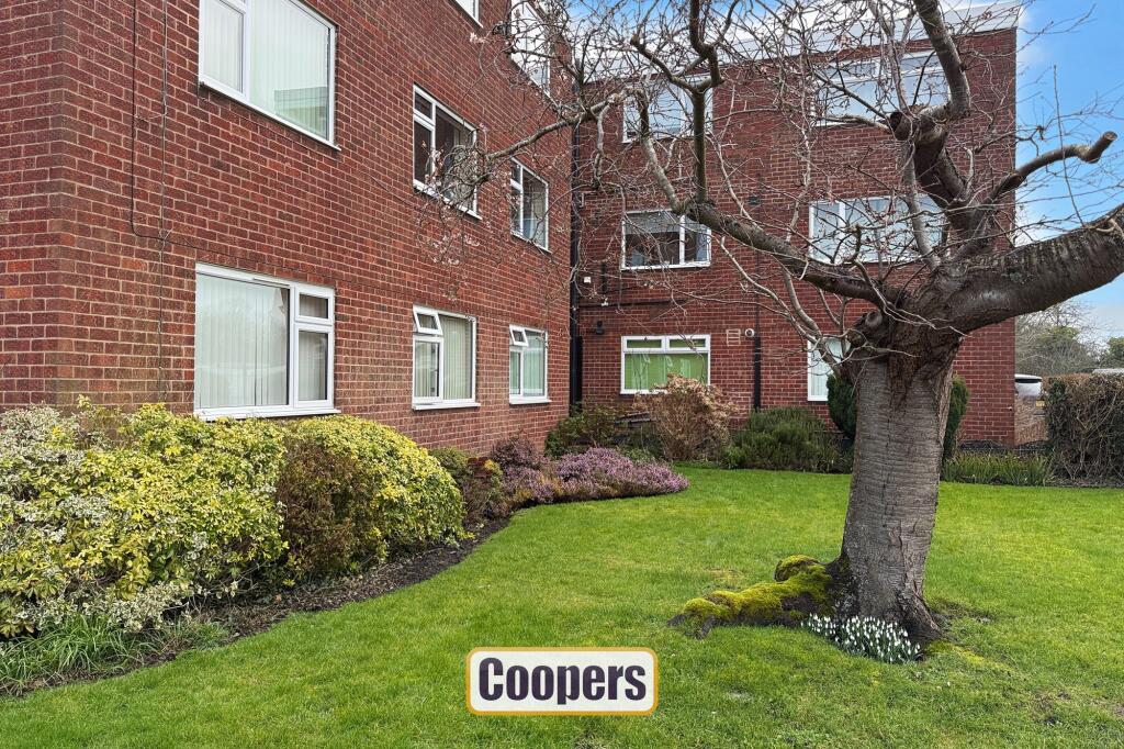
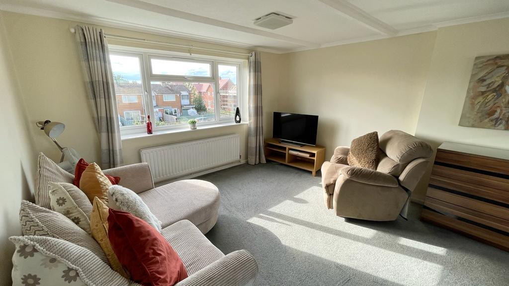
Description
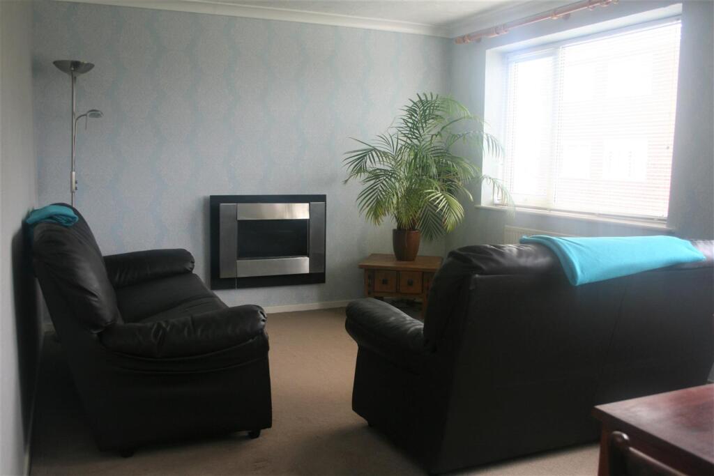
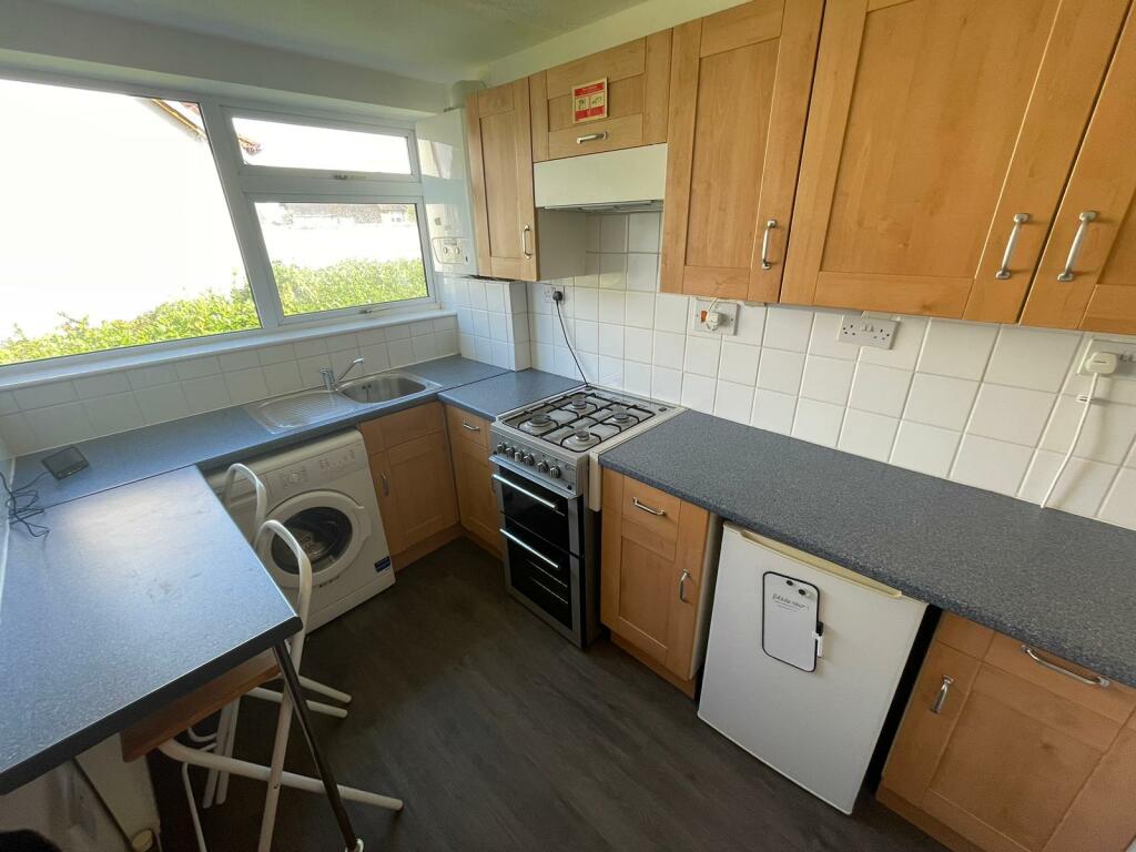
This inviting flat features a spacious hallway leading to two double bedrooms, a modern kitchen, a stylish bathroom, and a well-presented lounge/dining room. Located in a sought-after area with easy access to shops, transport links, and green spaces. Outside, communal off-street parking is available. A great opportunity for first-time buyers, downsizers, or investors.
Key Facts
Title Plan
 Contains OS data © Crown copyright 2025
Title Information
Details provided by the Land Registry
- Title Number
- MM256
- Plot Size
- 0.02 acres (69 sq metres)
Street View
House Prices in Coventry
Last 12 months
-
Average Price Change
£13,178
Increased by 6%
-
Flats/Maisonettes Price Change
£5,572
Increased by 4%
Average House Prices
Last 12 months for all property types.
Since Last Sale - 10th October 2022
-
Average Price Change
£4,250
Increased by 2%
-
Flats/Maisonettes Price Change
£91
Decreased by 0%
Average House Prices
Since last sale in 2022 for all property types
EPC

EPC Information
Details taken from the EPC register
- Date
- 2025-02-18
- Valid Until
- 2035-02-17
- Energy Efficiency - Current
- 69
- Energy Efficiency - Potential
- 73
- Environmental Impact - Current
- 69
- Environmental Impact - Potential
- 74
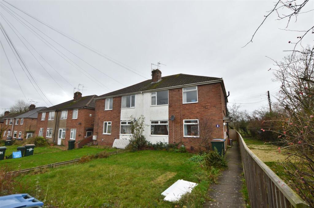
Properties For Sale in the Area
Upper Eastern Green Lane
31 metres away
Upper Eastern Green Lane
31 metres away
Upper Eastern Green Lane
31 metres away
Watermill Lane
50 metres away

Watermill Lane
50 metres away
Upper eastern green Lane
79 metres away
Properties To Let in the Area
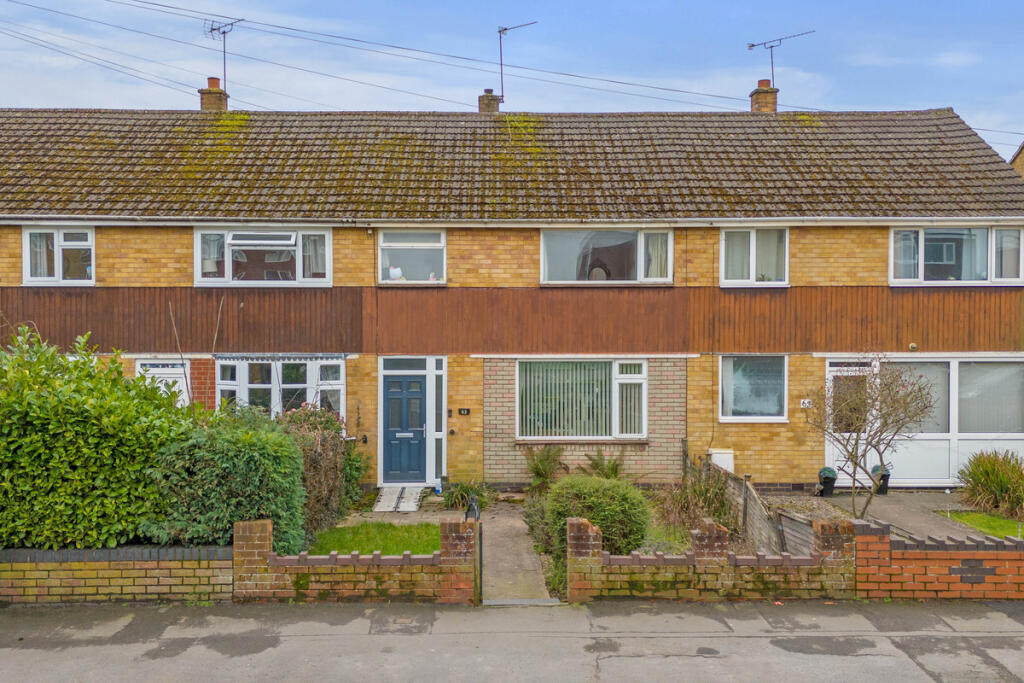
Upper Eastern Green Lane
0.17 km away
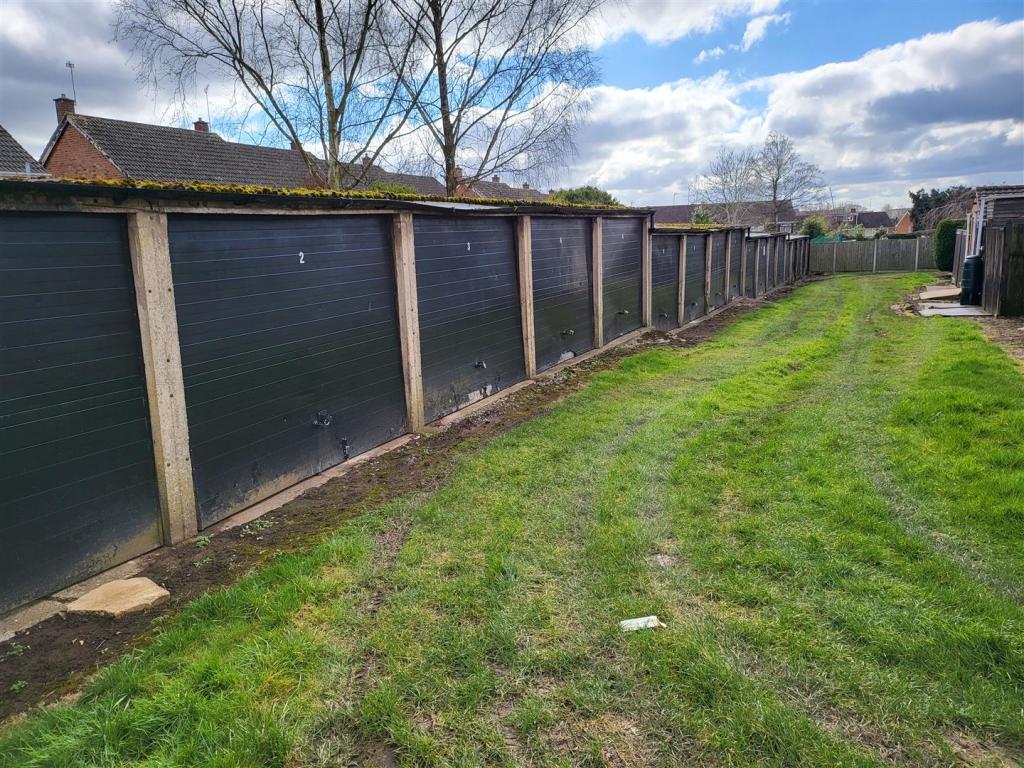
Garage at Despard Road
0.33 km away
Upper Eastern Green Lane
0.35 km away
Garrick Close
0.36 km away
Garrick Close
0.37 km away
Orchard Drive
0.49 km away
Schools
| Name | Type | Postcode | Distance | Rating |
|---|---|---|---|---|
| Eastern Green Junior School | Primary | CV5 7EG | 0.27 km | Good |
| St Andrew's Church of England Infant School | Primary | CV5 7BX | 0.37 km | Good |
| Park Hill Primary School | Nursery, Primary | CV5 7LR | 1.50 km | Good |
| Limbrick Wood Primary School | Nursery, Primary | CV4 9QT | 1.56 km | Not rated |
| Limbrick Wood Primary School | Nursery, Primary | CV4 9QT | 1.60 km | Good |
Transport
Train Stations
Details provided by Department for Transport
| Name | Distance |
|---|---|
| Tile Hill Rail Station | 2.74 km |
| Canley Rail Station | 4.00 km |
| Berkswell Rail Station | 4.13 km |
Nearest Motorway
Details provided by Department for Transport
| Name | Distance |
|---|---|
| M42 | 8.22 km |
Coverage
- Average Broadband Speed:
-
5mb Basic
-
34mb Superfast
-
1800mb Ultrafast
-
1800mb Overall
- Mobile Coverage:
-
EEOkay
-
O2Good
-
ThreeOkay
-
VodafoneOkay
Recently Sold Properties in the Area
| Address | Property Type | Distance | Price | Completed |
|---|---|---|---|---|
|
12 Garden Flats, Upper Eastern Green Lane Coventry, CV5 7DE |
Flats/Maisonettes | 11 metres away | £150,750 | 4 months ago |
|
50 Hollyberry Way Allesley, Coventry, CV5 9PY |
Semi-Detached | 26 metres away | £320,000 | 11 months ago |
|
52 Hollyberry Way Allesley, Coventry, CV5 9PY |
Semi-Detached | 29 metres away | £335,000 | 11 months ago |
|
48 Hollyberry Way Allesley, Coventry, CV5 9PY |
Detached | 43 metres away | £350,000 | 10 months ago |
|
58 Hollyberry Way Allesley, Coventry, CV5 9PY |
Detached | 62 metres away | £370,000 | 10 months ago |
|
31 Hollyberry Way Allesley, Coventry, CV5 9PY |
Semi-Detached | 87 metres away | £305,000 | 8 months ago |
|
29 Hollyberry Way Allesley, Coventry, CV5 9PY |
Semi-Detached | 91 metres away | £300,000 | 11 months ago |
|
25 Hollyberry Way Allesley, Coventry, CV5 9PY |
Semi-Detached | 0.11 km away | £300,000 | 11 months ago |
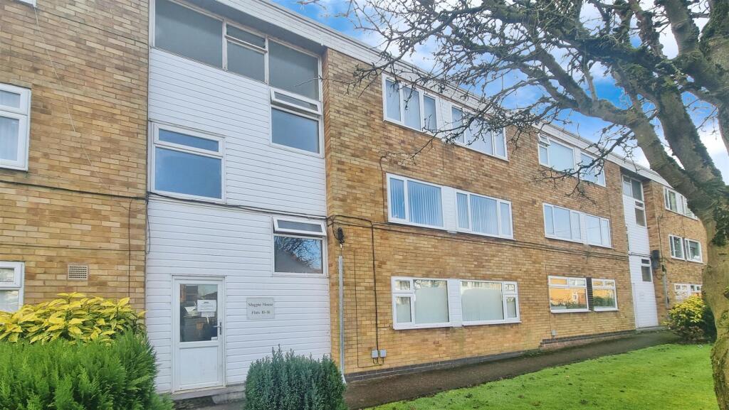
|
Flat 10, Magpie House, Upper Eastern Green Lane Coventry, CV5 7DB |
Flats/Maisonettes | 0.17 km away | £90,000 | 11 months ago |
|
6 Hollyberry Way Allesley, Coventry, CV5 9PY |
Detached | 0.17 km away | £500,000 | 8 months ago |
Important Notice - This report is intended for general informational purposes only and should act only as a guide. The report is produced automatically on behalf of Coopers Estate Agents - Coventry by Street Insights, a product of Street Systems Ltd. Street Systems maintains and aggregates data from multiple public data sources and whilst every effort is made to keep information up to date and accurate, we make no representations or warranties of any kind about the accuracy, reliability or completeness of the information contained within this report for any purpose. Any reliance you place on the data contained within this report is strictly at your own risk. In no event will Coopers Estate Agents - Coventry or Street Systems Ltd be liable for any loss or damage including without limitation, indirect or consequential loss or damage, or any loss or damage whatsoever arising from loss of data or profits arising out of, or in connection with, the use of this report.
This report contains public sector information licensed under the Open Government License v3.0
Transaction data and HPI data is produced by HM Land Registry. Crown copyright and database rights 2025