Property Information Report
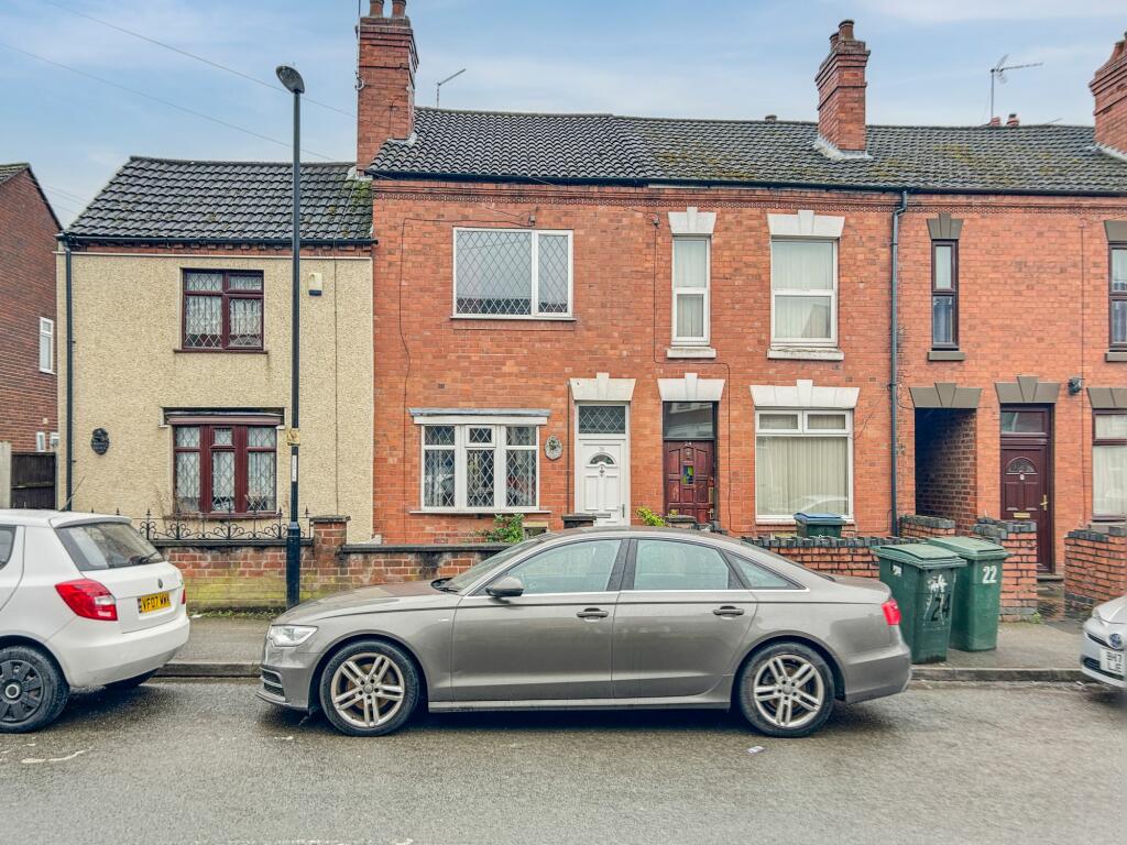
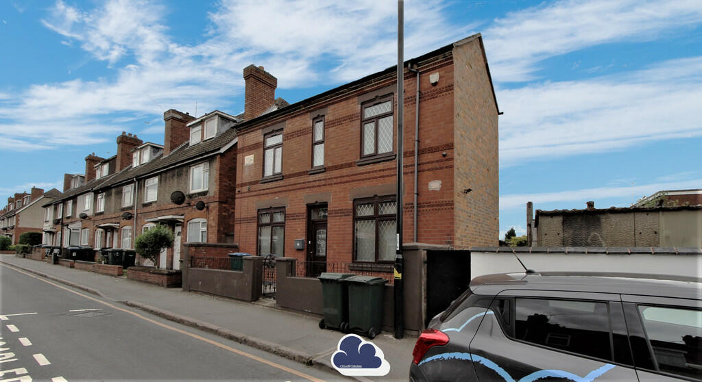
Coventry Street
Coventry, CV2

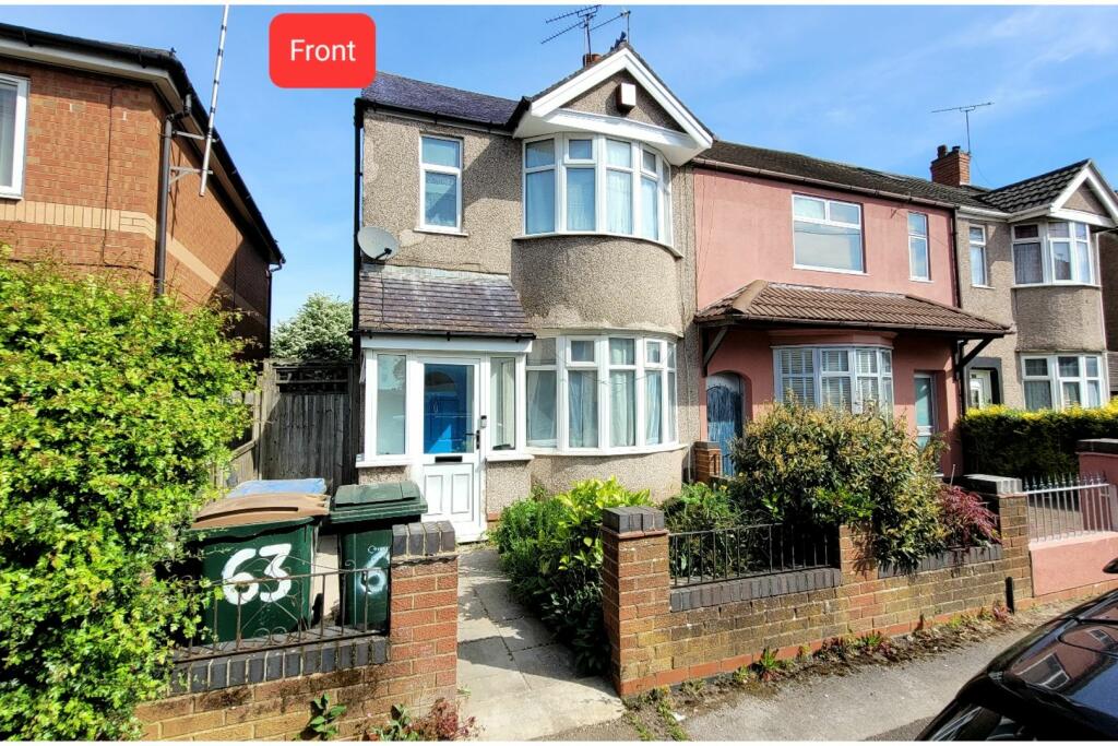
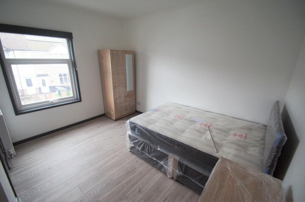
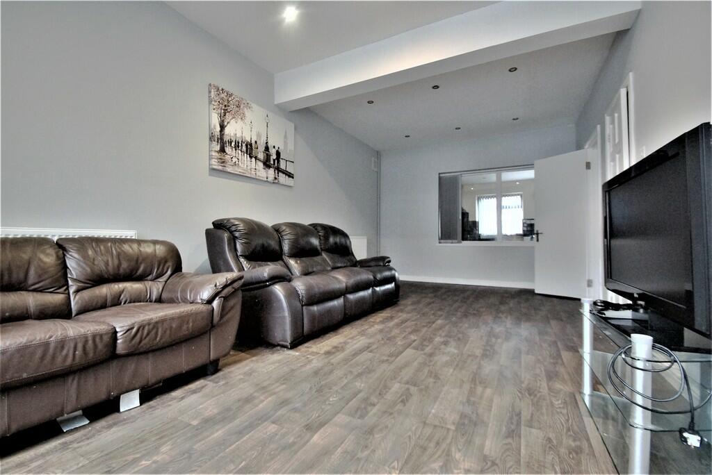
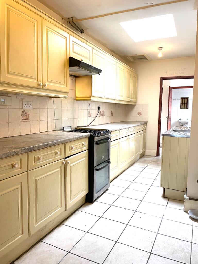
Description
Deceptively spacious home in convenient location on the east side of Coventry. Porch, through living room, kitchen and bathroom. Two good sized double bedrooms upstairs. Gardens to front and rear with garage at rear.
Key Facts
Title Plan
 Contains OS data © Crown copyright 2024
Title Information
Details provided by the Land Registry
- Title Number
- WM359901
- Plot Size
- 0.03 acres (130 sq metres)
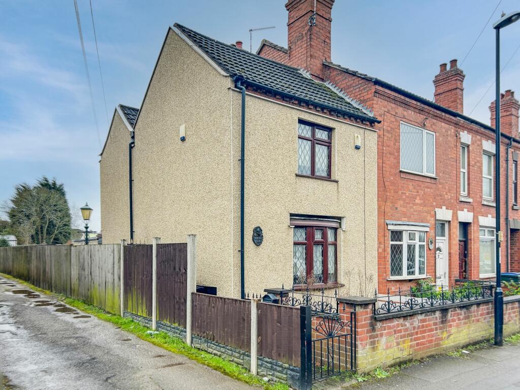
Street View
House Prices in Coventry
Last 12 months
-
Average Price Change
£2,201
Decreased by 1%
-
Terraced Price Change
£3,150
Decreased by 2%
Average House Prices
Last 12 months for all property types.
Since - March 2019
-
Average Price Change
£33,797
Increased by 18%
-
Terraced Price Change
£31,247
Increased by 19%
Average House Prices
Since 2019 for all property types
EPC

EPC Information
Details taken from the EPC register
- Date
- 2024-04-09
- Valid Until
- 2034-04-08
- Energy Efficiency - Current
- 39
- Energy Efficiency - Potential
- 87
- Environmental Impact - Current
- 35
- Environmental Impact - Potential
- 86
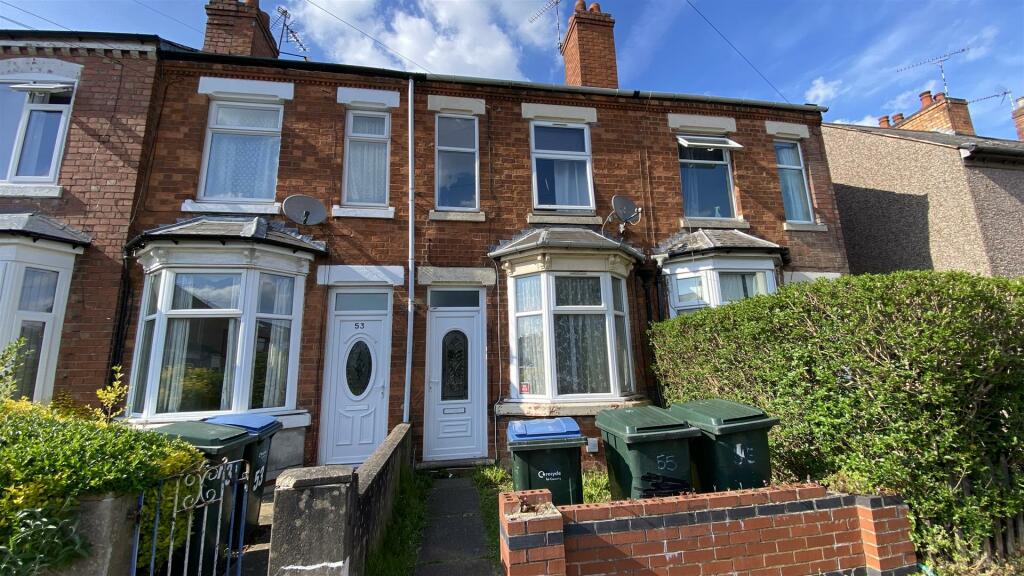
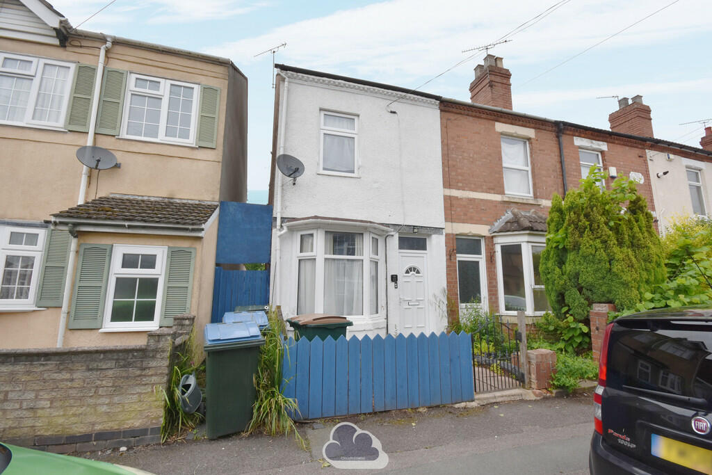
Properties For Sale in the Area
Coventry Street
14 metres away
Coventry Street
14 metres away
Milton Street
0.11 km away
Coventry Street
0.16 km away
Stratford Street
0.17 km away
North Street
0.19 km away
Properties To Let in the Area
North Street
0.18 km away
Stratford Street
0.20 km away
Stratford Street
0.20 km away
Clay Lane
0.23 km away
Clay Lane
0.23 km away
Dane Road
0.26 km away
Schools
| Name | Type | Postcode | Distance | Rating |
|---|---|---|---|---|
| Stoke Primary School | Nursery, Primary | CV2 4LF | 0.37 km | Good |
| Stoke Park School | Secondary, Post 16 | CV2 4JW | 0.57 km | Good |
| Stoke Heath Primary School | Nursery, Primary | CV2 4PR | 0.64 km | Good |
| Sacred Heart Catholic Primary School | Nursery, Primary | CV2 4DW | 0.79 km | Not rated |
| Summit School | Special, Independent | CV2 4BF | 1.03 km | Good |
Transport
Train Stations
Details provided by Department for Transport
| Name | Distance |
|---|---|
| Coventry Rail Station | 2.78 km |
| Coventry Arena Rail Station | 3.59 km |
| Canley Rail Station | 4.87 km |
Nearest Motorway
Details provided by Department for Transport
| Name | Distance |
|---|---|
| M6 | 4.41 km |
Coverage
- Average Broadband Speed:
-
4mb Basic
-
68mb Superfast
-
1000mb Ultrafast
-
1000mb Overall
- Mobile Coverage:
-
EEGood
-
O2Good
-
ThreeGood
-
VodafoneGood
Recently Sold Properties in the Area
| Address | Property Type | Distance | Price | Completed |
|---|---|---|---|---|
|
59 Stratford Street Coventry, CV2 4NJ |
Terraced | 0.16 km away | £175,427 | 11 months ago |
|
85 Shakespeare Street Coventry, CV2 4NF |
Terraced | 0.20 km away | £164,500 | 2 months ago |
|
78 Stratford Street Coventry, CV2 4NJ |
Terraced | 0.21 km away | £166,000 | 8 months ago |
|
166 Clay Lane Coventry, CV2 4LT |
Terraced | 0.24 km away | £100,000 | 11 months ago |
|
166 Clay Lane Coventry, CV2 4LT |
Other | 0.24 km away | £111,000 | 9 months ago |
|
166 Clay Lane Coventry, CV2 4LT |
Other | 0.24 km away | £100,000 | 11 months ago |
|
79 Shakespeare Street Coventry, CV2 4NG |
Terraced | 0.26 km away | £226,100 | 10 months ago |
|
71 Shakespeare Street Coventry, CV2 4NG |
Terraced | 0.29 km away | £160,000 | 10 months ago |
|
112 Shakespeare Street Coventry, CV2 4NG |
Terraced | 0.29 km away | £115,000 | 2 months ago |
|
9 Uplands Coventry, CV2 3FY |
Terraced | 0.30 km away | £25,000 | 3 months ago |
Important Notice - This report is intended for general informational purposes only and should act only as a guide. The report is produced automatically on behalf of Coopers Estate Agents - Coventry by Street Insights, a product of Street Systems Ltd. Street Systems maintains and aggregates data from multiple public data sources and whilst every effort is made to keep information up to date and accurate, we make no representations or warranties of any kind about the accuracy, reliability or completeness of the information contained within this report for any purpose. Any reliance you place on the data contained within this report is strictly at your own risk. In no event will Coopers Estate Agents - Coventry or Street Systems Ltd be liable for any loss or damage including without limitation, indirect or consequential loss or damage, or any loss or damage whatsoever arising from loss of data or profits arising out of, or in connection with, the use of this report.
This report contains public sector information licensed under the Open Government License v3.0
Transaction data and HPI data is produced by HM Land Registry. Crown copyright and database rights 2024