Property Information Report

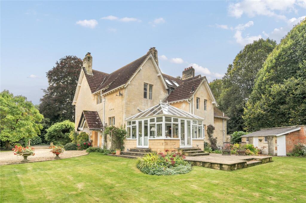
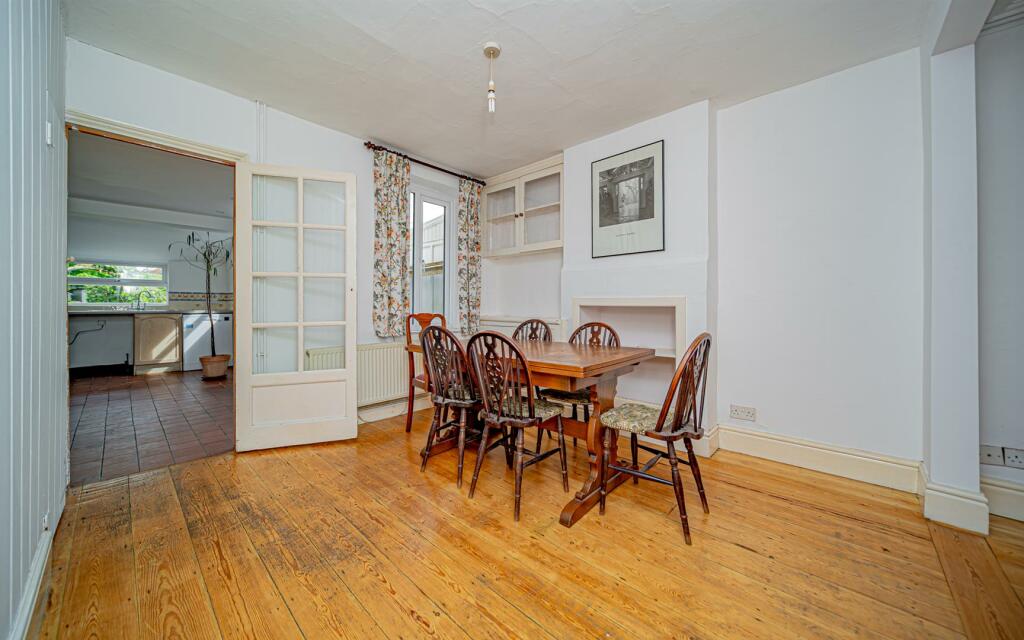
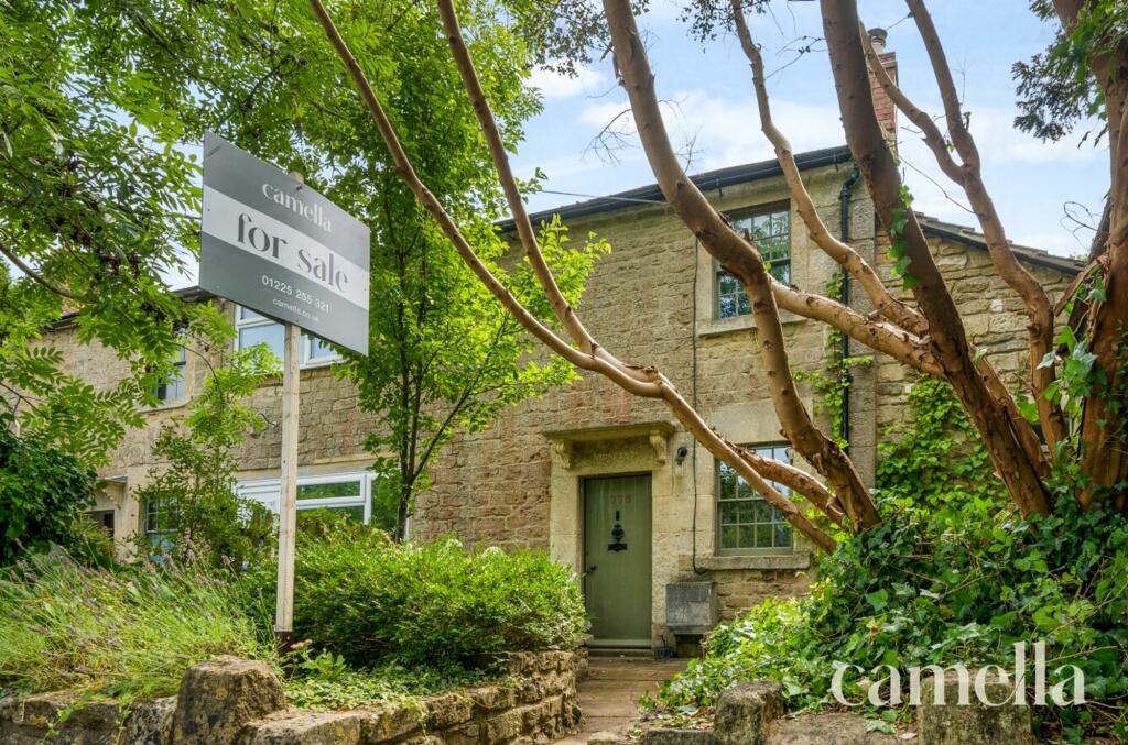
21b, Leigh Road
Holt, Trowbridge, BA14 6PW
Last Sold - Jul, 2009

Properties To Let in the Area
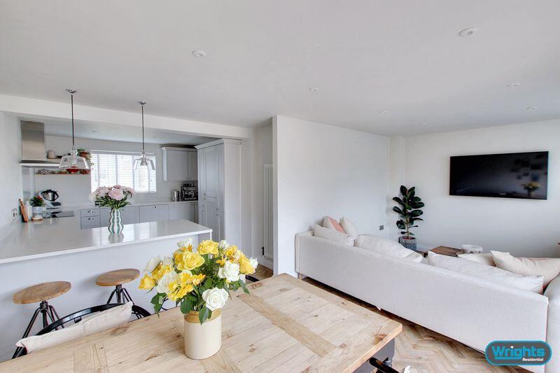
Lions Orchard
0.52 km away
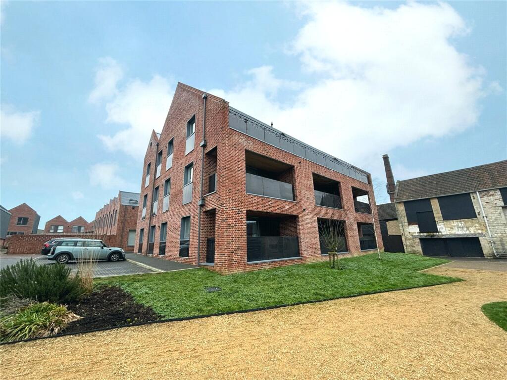
The Tannery
0.57 km away
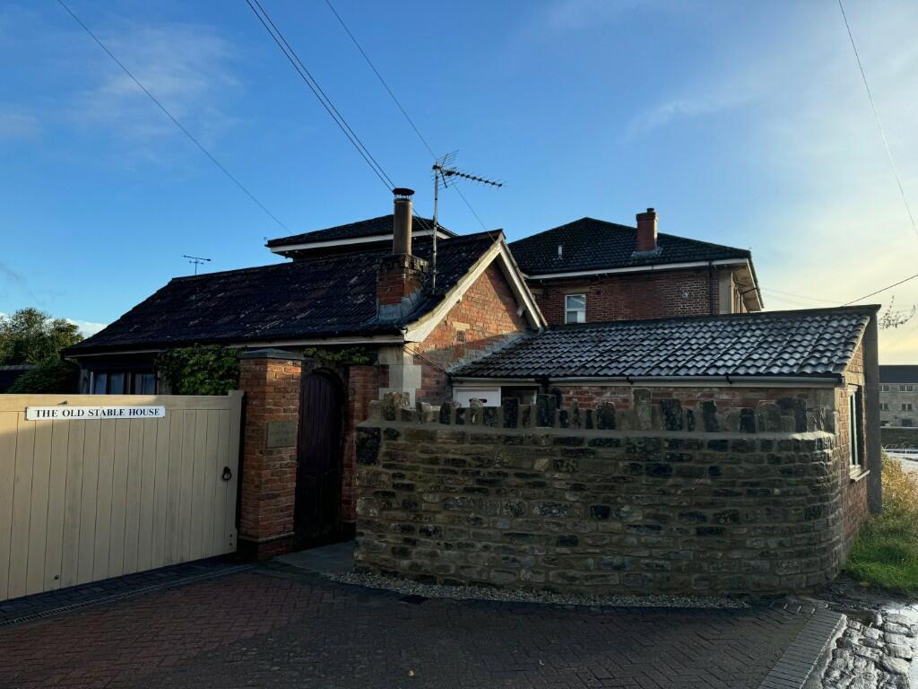
Stable Cottage
0.63 km away
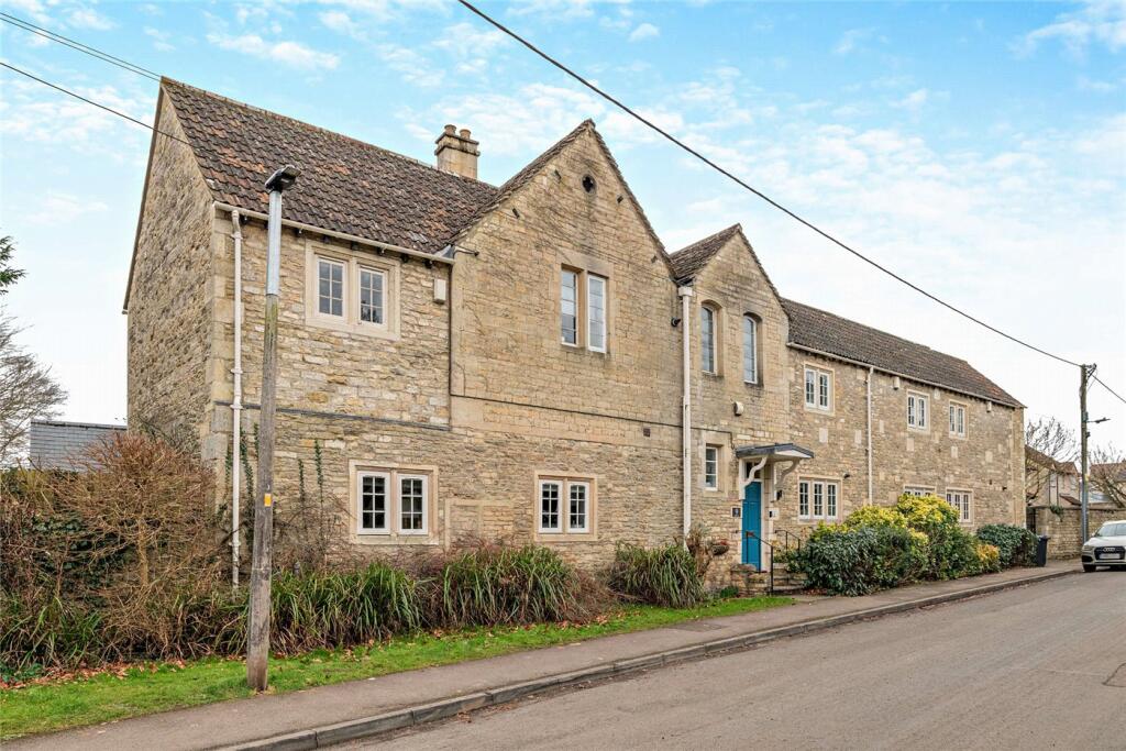
Station Road
0.80 km away
Key Facts
Title Plan
 Contains OS data © Crown copyright 2025
Title Information
Details provided by the Land Registry
- Title Number
- WT282141
- Plot Size
- 0.41 acres (1668 sq metres)
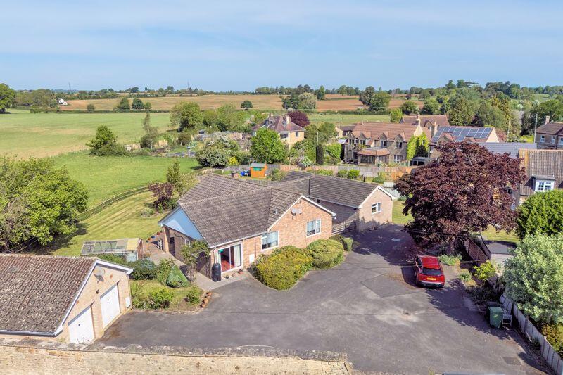
Street View
House Prices in Wiltshire
Last 12 months
-
Average Price Change
£21,826
Increased by 7%
-
Detached Price Change
£34,270
Increased by 7%
Average House Prices
Last 12 months for all property types.
Since - May 2020
-
Average Price Change
£62,435
Increased by 23%
-
Detached Price Change
£94,195
Increased by 22%
Average House Prices
Since 2020 for all property types
EPC
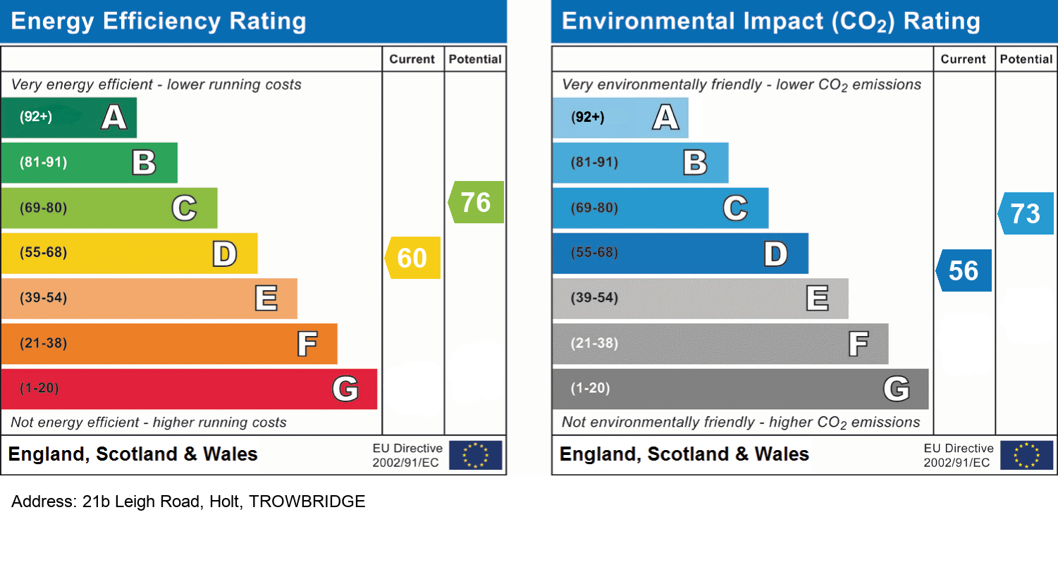
EPC Information
Details taken from the EPC register
- Date
- 2025-05-14
- Valid Until
- 2035-05-13
- Energy Efficiency - Current
- 60
- Energy Efficiency - Potential
- 76
- Environmental Impact - Current
- 56
- Environmental Impact - Potential
- 73
Properties For Sale in the Area
Holt
Holt
72 metres away
Ham Green
0.34 km away
Ham Green
0.34 km away
The Street
0.37 km away
The Street
0.37 km away
Recently Sold Properties in the Area
| Address | Property Type | Distance | Price | Completed |
|---|---|---|---|---|
|
375 The Street Holt, Trowbridge, BA14 6RS |
Terraced | 0.27 km away | £355,000 | 4 months ago |
|
371 The Street Holt, Trowbridge, BA14 6RS |
Semi-Detached | 0.29 km away | £370,000 | 5 months ago |
|
356 The Walk Holt, Trowbridge, BA14 6RR |
Terraced | 0.33 km away | £225,000 | 5 months ago |
|
91 The Street Holt, Trowbridge, BA14 6RS |
Terraced | 0.44 km away | £230,000 | 7 months ago |
|
41 The Tannery Holt, Trowbridge, BA14 6HS |
Flats/Maisonettes | 0.52 km away | £250,000 | 4 months ago |
|
5 Three Lions Mews, The Street Holt, Trowbridge, BA14 6QH |
Flats/Maisonettes | 0.55 km away | £180,000 | 6 months ago |
|
113 The Midlands Holt, Trowbridge, BA14 6RG |
Semi-Detached | 0.64 km away | £202,000 | 8 months ago |
|
19 The Spa Holt, Trowbridge, BA14 6BW |
Flats/Maisonettes | 0.74 km away | £172,500 | 7 months ago |
|
148 The Common Holt, Trowbridge, BA14 6QJ |
Semi-Detached | 0.79 km away | £282,000 | 6 months ago |
|
42 Hawcroft Holt, Trowbridge, BA14 6RN |
Semi-Detached | 0.83 km away | £340,000 | 9 months ago |
Schools
| Name | Type | Postcode | Distance | Rating |
|---|---|---|---|---|
| Holt Voluntary Controlled Primary School | Primary | BA14 6RA | 0.91 km | Good |
| Emmaus School | Independent, Primary | BA14 6NZ | 1.39 km | Not rated |
| Staverton Church of England Voluntary Controlled Primary School | Primary | BA14 6NZ | 1.39 km | Not rated |
| Hilperton Church of England Voluntary Controlled Primary School | Primary | BA14 7SB | 2.41 km | Good |
| St Mary's Broughton Gifford Voluntary Controlled Church of England Primary School | Primary | SN12 8PR | 2.68 km | Good |
Transport
Bus Stops & Stations
Details provided by Department for Transport
| Name | Distance |
|---|---|
| Toll Gate, Bradford Road | 0.16 km |
| Post Office, The Street | 0.51 km |
| The Elms, The Street | 0.60 km |
| The Elms, The Midlands | 0.60 km |
| Station Road | 0.91 km |
Train Stations
Details provided by Department for Transport
| Name | Distance |
|---|---|
| Bradford-On-Avon Rail Station | 3.32 km |
| Trowbridge Rail Station | 3.83 km |
Nearest Motorway
Details provided by Department for Transport
| Name | Distance |
|---|---|
| M4 | 18.87 km |
Coverage
- Average Broadband Speed:
-
15mb Basic
-
80mb Superfast
-
80mb Overall
- Mobile Coverage:
-
EEOkay
-
O2Okay
-
ThreePoor
-
VodafoneOkay
About Us

Kingstons
Kingstons Estate Agents have been successfully selling and letting residential and commercial properties in and around Bradford on Avon since 1994.
Important Notice - This report is intended for general informational purposes only and should act only as a guide. The report is produced automatically on behalf of Kingstons Estate Agents - Bradford on Avon by Street Insights, a product of Street Systems Ltd. Street Systems maintains and aggregates data from multiple public data sources and whilst every effort is made to keep information up to date and accurate, we make no representations or warranties of any kind about the accuracy, reliability or completeness of the information contained within this report for any purpose. Any reliance you place on the data contained within this report is strictly at your own risk. In no event will Kingstons Estate Agents - Bradford on Avon or Street Systems Ltd be liable for any loss or damage including without limitation, indirect or consequential loss or damage, or any loss or damage whatsoever arising from loss of data or profits arising out of, or in connection with, the use of this report.
This report contains public sector information licensed under the Open Government License v3.0
Transaction data and HPI data is produced by HM Land Registry. Crown copyright and database rights 2025