Property Information Report

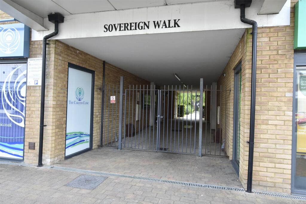
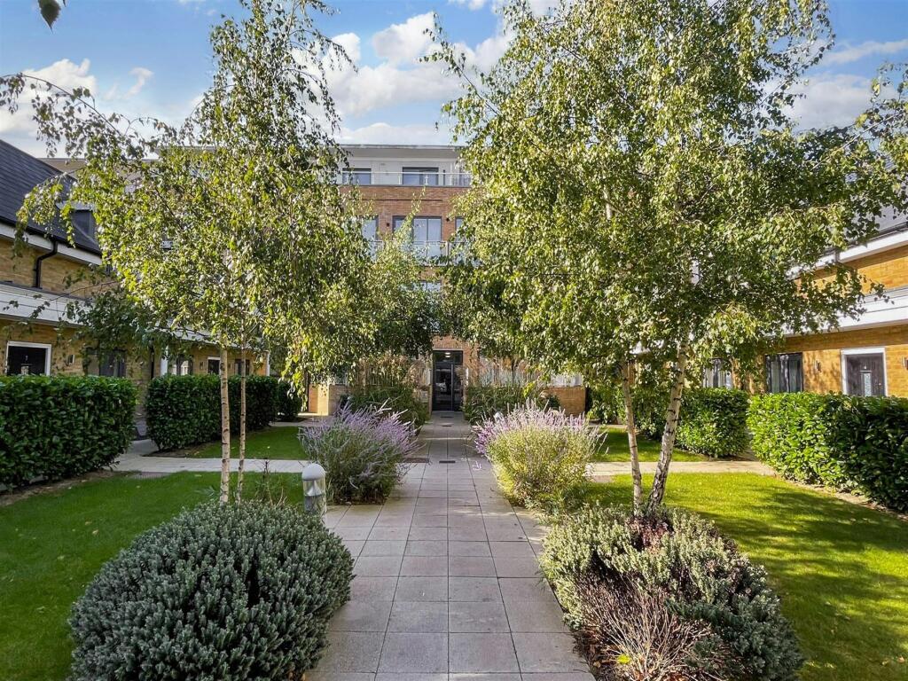
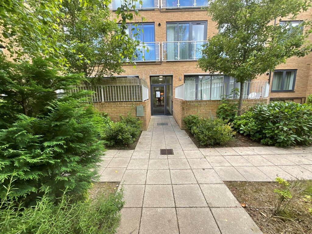
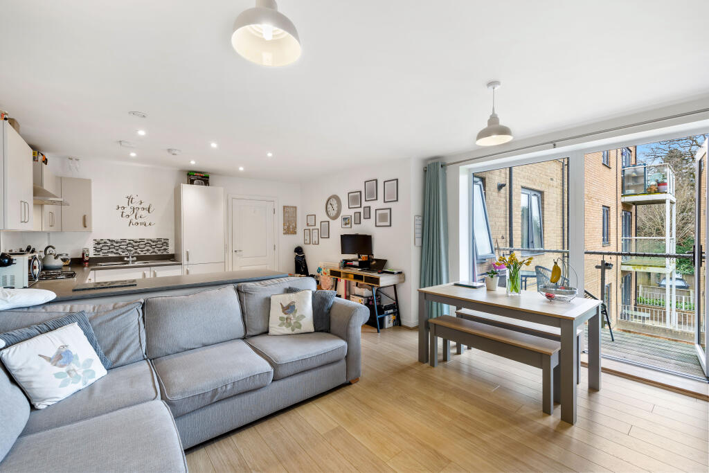
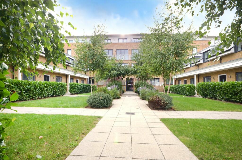
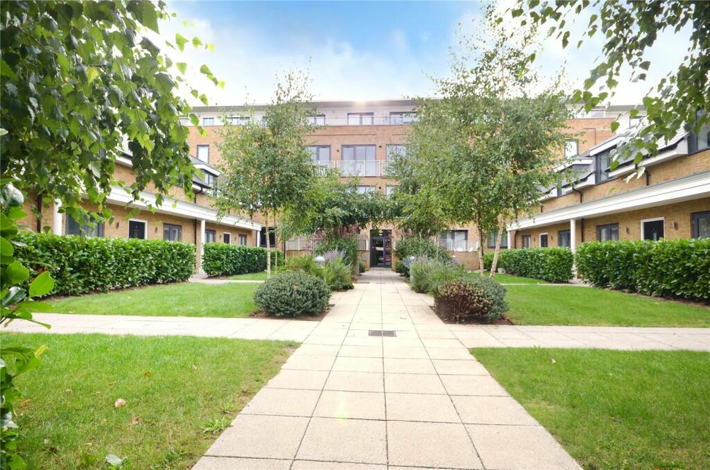
Sovereign Walk Victoria Road
Horley, RH6
Last Sold - Mar, 2018

Key Facts
About Us

Let us Inspire you
Are you considering selling or letting in Crawley or the surrounding areas? Would you like to deal with property professionals, who have lived and worked in the area for many years?
If you are, we guarantee you will be impressed with our service. We are so confident that you will love our honest and pro-active approach that we don't need to tie you into restrictive sole agency agreements!
Find out more at our website
Title Plan
 Contains OS data © Crown copyright 2024
Title Information
Details provided by the Land Registry
- Title Number
- SY852998
- Plot Size
- 0.23 acres (950 sq metres)
Street View
House Prices in Reigate and Banstead
Last 12 months
-
Average Price Change
£450
Decreased by 0%
-
Flats/Maisonettes Price Change
£2,926
Decreased by 1%
Average House Prices
Last 12 months for all property types.
Since - July 2019
-
Average Price Change
£62,399
Increased by 15%
-
Flats/Maisonettes Price Change
£22,353
Increased by 9%
Average House Prices
Since 2019 for all property types
EPC

EPC Information
Details taken from the EPC register
- Date
- 2018-01-02
- Valid Until
- 2028-01-01
- Energy Efficiency - Current
- 86
- Energy Efficiency - Potential
- 86
- Environmental Impact - Current
- 90
- Environmental Impact - Potential
- 90
Properties For Sale in the Area
Sovereign Walk
1 metres away
Sovereign Walk
1 metres away
Sovereign Walk
1 metres away
Ref: AD - Victoria Road
1 metres away
Sovereign Walk
1 metres away
Sovereign Walk
1 metres away
Recently Sold Properties in the Area
| Address | Property Type | Distance | Price | Completed |
|---|---|---|---|---|
|
Flat 7, 10 Sovereign Walk Victoria Road Horley, RH6 7HG |
Flats/Maisonettes | 2 metres away | £260,000 | 8 months ago |
|
Flat 18, 10 Sovereign Walk Victoria Road Horley, RH6 7HG |
Flats/Maisonettes | 3 metres away | £200,000 | 4 months ago |
|
Flat 43, 10 Sovereign Walk Victoria Road Horley, RH6 7HG |
Flats/Maisonettes | 5 metres away | £399,000 | 4 months ago |
|
Flat 32, 10 Sovereign Walk Victoria Road Horley, RH6 7HG |
Flats/Maisonettes | 6 metres away | £205,000 | 7 months ago |
|
Flat 34, Russell Square, Russells Crescent Horley, RH6 7GW |
Flats/Maisonettes | 79 metres away | £285,000 | 10 months ago |
|
Fort Raj Restaurant, 74 Victoria Road Horley, RH6 7PZ |
Terraced | 95 metres away | £248,000 | 3 months ago |
|
Flat 11, Imperial Buildings, 68 Victoria Road Horley, RH6 7PZ |
Flats/Maisonettes | 0.10 km away | £195,000 | 9 months ago |
|
Flat 10, Imperial Buildings, 68 Victoria Road Horley, RH6 7PZ |
Flats/Maisonettes | 0.10 km away | £180,000 | 8 months ago |
|
Flat 5, Saxley Court 121-129, Victoria Road Horley, RH6 7LT |
Flats/Maisonettes | 0.18 km away | £210,000 | 11 months ago |
|
Amor & More, 25 High Street Horley, RH6 7BH |
Other | 0.22 km away | £675,000 | 9 months ago |
Schools
| Name | Type | Postcode | Distance | Rating |
|---|---|---|---|---|
| Horley Infant School | Primary | RH6 7JF | 0.44 km | Good |
| Oakwood School | Secondary | RH6 9AE | 0.56 km | Good |
| Langshott Primary School | Primary | RH6 9AU | 0.69 km | Good |
| Yattendon School | Primary | RH6 7BZ | 0.71 km | Good |
| Manorfield Primary and Nursery School | Nursery, Primary | RH6 8AL | 0.83 km | Good |
Transport
Bus Stops & Stations
Details provided by Department for Transport
| Name | Distance |
|---|---|
| Town Centre, Victoria Road | 53 metres |
| York House, Massetts Road | 99 metres |
| Russells Crescent, Russells Crescent | 0.24 km |
| Lidl, Victoria Road | 0.24 km |
| Horley Railway Station, Victoria Road | 0.26 km |
Train Stations
Details provided by Department for Transport
| Name | Distance |
|---|---|
| Horley Rail Station | 0.27 km |
| Gatwick Airport Rail Station | 1.62 km |
| Salfords (Surrey) Rail Station | 3.49 km |
Nearest Motorway
Details provided by Department for Transport
| Name | Distance |
|---|---|
| M23 | 1.39 km |
Airports
Details provided by Department for Transport
| Name | Distance |
|---|---|
| London Gatwick Airport | 1.47 km |
| Biggin Hill Airport | 22.62 km |
| London Heathrow Airport | 37.74 km |
| Shoreham Brighton City Airport | 38.60 km |
| London Heathrow Airport | 39.30 km |
Tram and Metro Stations
Details provided by Department for Transport
| Name | Distance |
|---|---|
| Gatwick North Terminal Shuttle Station | 1.44 km |
Coverage
- Average Broadband Speed:
-
17mb Basic
-
80mb Superfast
-
80mb Overall
- Mobile Coverage:
-
EEGood
-
O2Good
-
ThreeGood
-
VodafoneOkay
Important Notice - This report is intended for general informational purposes only and should act only as a guide. The report is produced automatically on behalf of Inspire Estate Agents - Crawley by Street Insights, a product of Street Systems Ltd. Street Systems maintains and aggregates data from multiple public data sources and whilst every effort is made to keep information up to date and accurate, we make no representations or warranties of any kind about the accuracy, reliability or completeness of the information contained within this report for any purpose. Any reliance you place on the data contained within this report is strictly at your own risk. In no event will Inspire Estate Agents - Crawley or Street Systems Ltd be liable for any loss or damage including without limitation, indirect or consequential loss or damage, or any loss or damage whatsoever arising from loss of data or profits arising out of, or in connection with, the use of this report.
This report contains public sector information licensed under the Open Government License v3.0
Transaction data and HPI data is produced by HM Land Registry. Crown copyright and database rights 2024