Property Information Report
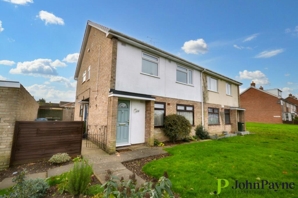
Brandon Road
Binley, Coventry, CV3
Last Sold - Aug, 2003
Description
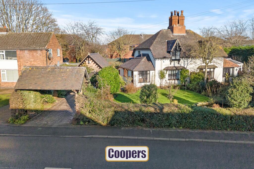
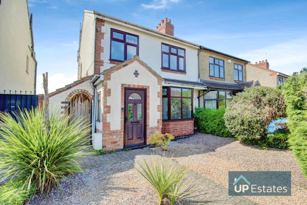
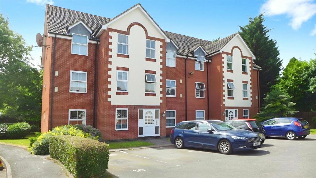
This semi-detached home is one of a pair of distinctive properties that rarely come to market in this area. Located close to shops and major road networks (A45, A46, M6, and M69), it offers convenience alongside its unique charm and is offered for sale with no upward chain.
The layout begins with a vaulted-ceiling hallway, leading to a front reception room that flows into the rear reception room, showcasing inglenook fireplaces, with a multi fule stove in the front room, and beamed ceilings. Off the rear reception room are the kitchen, which connects to the bathroom, and a bright sunroom with access to an additional WC.
Upstairs are two double bedrooms. Outside, the private front garden includes a lawn and pond, while the rear garden is designed for low maintenance with patio areas. The property is completed by a detached brick garage and driveway parking.
Title Plan
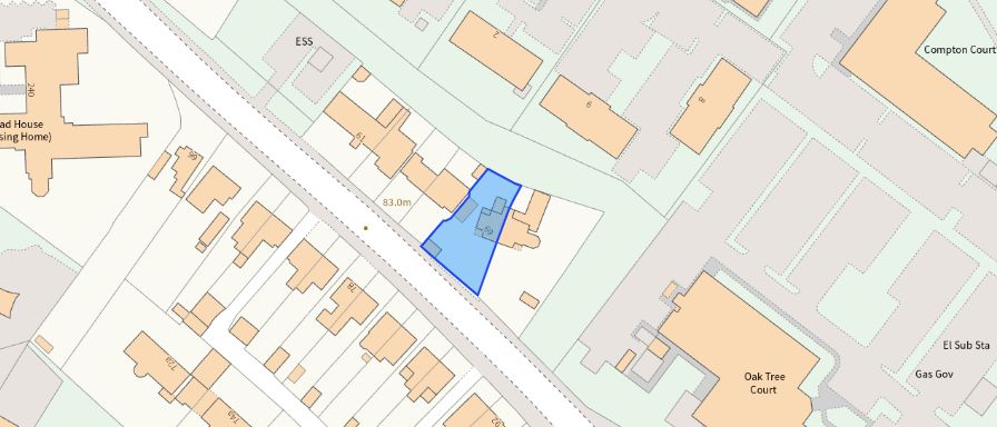 Contains OS data © Crown copyright 2025
Title Information
Details provided by the Land Registry
- Title Number
- WM387984
- Plot Size
- 0.11 acres (437 sq metres)
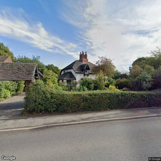
Street View
House Prices in Coventry
Last 12 months
-
Average Price Change
£14,794
Increased by 7%
-
Semi-Detached Price Change
£18,490
Increased by 8%
Average House Prices
Last 12 months for all property types.
Since - April 2020
-
Average Price Change
£44,498
Increased by 25%
-
Semi-Detached Price Change
£52,483
Increased by 25%
Average House Prices
Since 2020 for all property types
EPC
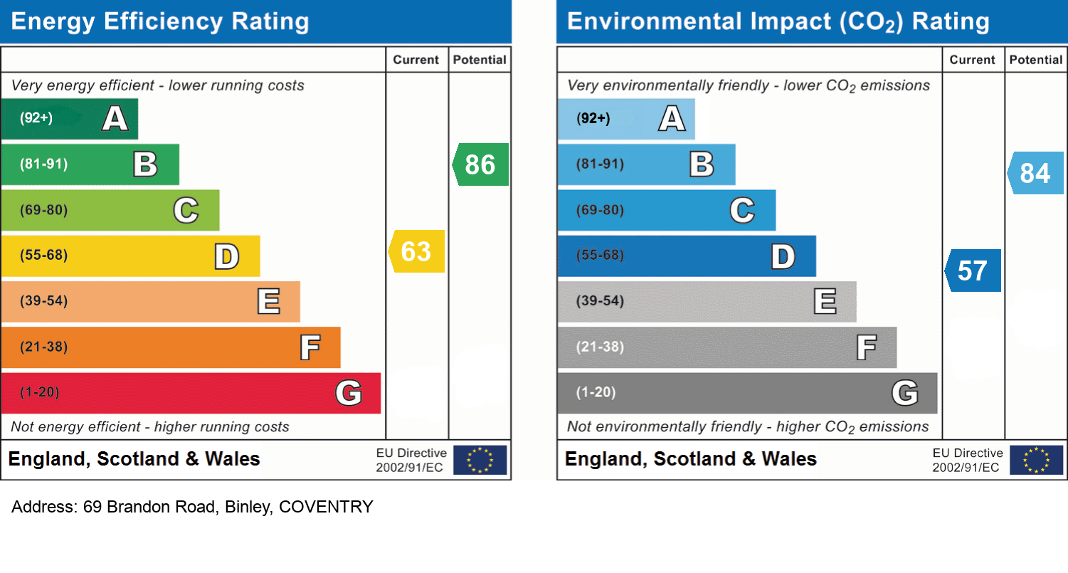
EPC Information
Details taken from the EPC register
- Date
- 2024-11-01
- Valid Until
- 2034-10-31
- Energy Efficiency - Current
- 63
- Energy Efficiency - Potential
- 86
- Environmental Impact - Current
- 57
- Environmental Impact - Potential
- 84
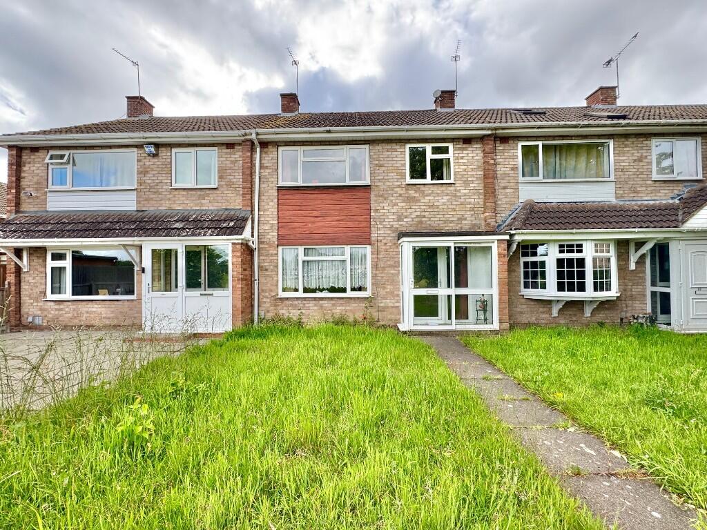
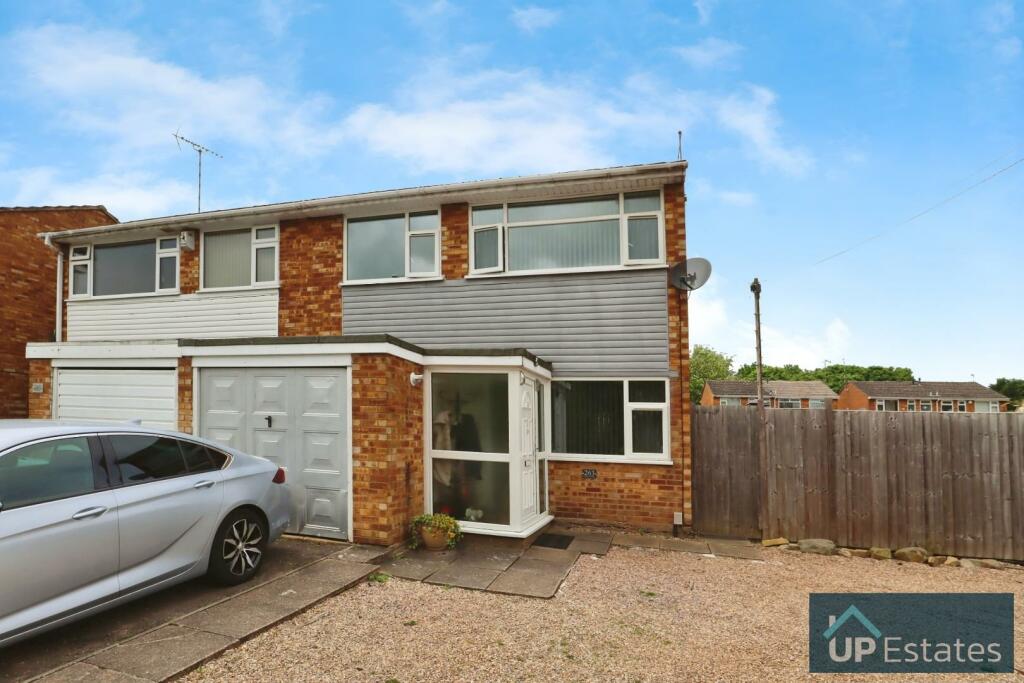
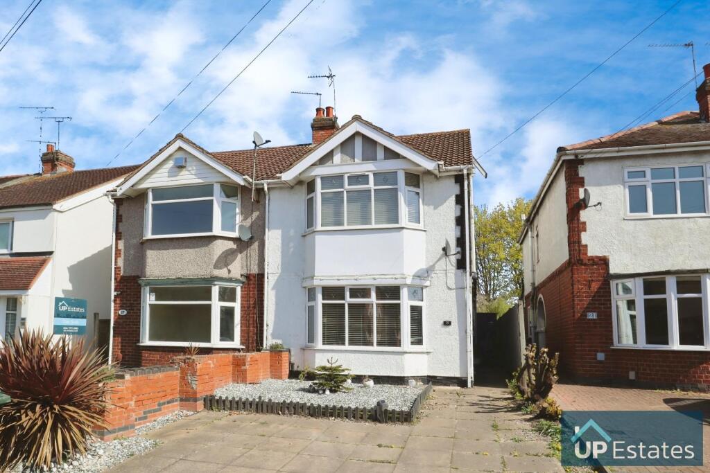
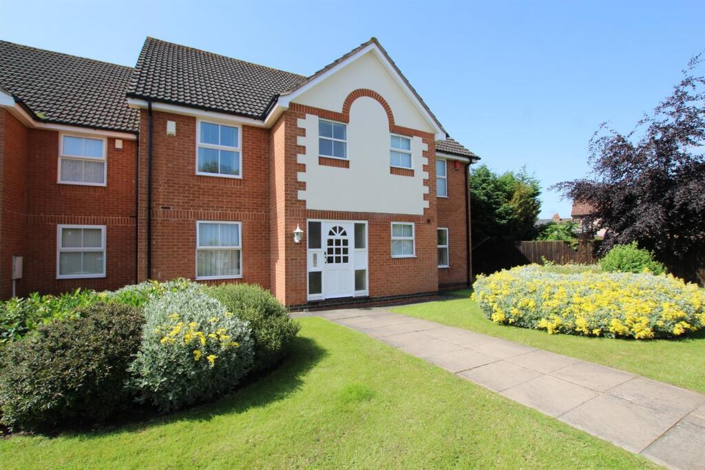
Properties For Sale in the Area
Brandon Road
Brandon Road
51 metres away

Brandon Road
0.16 km away
Falcon Avenue
0.21 km away
Bredon Avenue
0.21 km away
Brandon Road
0.22 km away
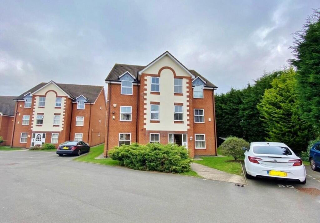
Properties To Let in the Area

Brandon Road
46 metres away
Kestrel Croft
0.25 km away
Wilson Green
0.28 km away
WINDSOR COURT
0.28 km away
Wilson Green
0.28 km away
Windsor Court
0.28 km away
Schools
| Name | Type | Postcode | Distance | Rating |
|---|---|---|---|---|
| Ernesford Grange Primary School | Nursery, Primary | CV3 2HN | 0.62 km | Good |
| Clifford Bridge Academy | Nursery, Primary | CV3 2PD | 0.81 km | Good |
| St Bartholomew's Church of England Academy | Nursery, Primary | CV3 2LP | 0.81 km | Not rated |
| Sowe Valley Primary School | Nursery, Primary | CV3 2QX | 1.21 km | Good |
| Ernesford Grange Community Academy | Secondary, Post 16 | CV3 2QD | 1.24 km | Good |
Transport
Bus Stops & Stations
Details provided by Department for Transport
| Name | Distance |
|---|---|
| Oakdale Road | 1.29 km |
Train Stations
Details provided by Department for Transport
| Name | Distance |
|---|---|
| Coventry Rail Station | 4.78 km |
Nearest Motorway
Details provided by Department for Transport
| Name | Distance |
|---|---|
| M6 | 4.29 km |
Airports
Details provided by Department for Transport
| Name | Distance |
|---|---|
| Coventry Airport | 4.21 km |
| Birmingham International Airport | 20.41 km |
| East Midlands Airport | 47.99 km |
| London Oxford Airport | 63.85 km |
| Gloucestershire Airport | 74.97 km |
Coverage
- Average Broadband Speed:
-
6mb Basic
-
55mb Superfast
-
1800mb Ultrafast
-
1800mb Overall
- Mobile Coverage:
-
EEOkay
-
O2Good
-
ThreePoor
-
VodafoneOkay
Recently Sold Properties in the Area
| Address | Property Type | Distance | Price | Completed |
|---|---|---|---|---|
|
82 Brandon Road Binley, Coventry, CV3 2JF |
Semi-Detached | 43 metres away | £170,000 | 7 months ago |
|
92 Brandon Road Binley, Coventry, CV3 2JF |
Semi-Detached | 57 metres away | £475,000 | 6 months ago |
|
279 Bredon Avenue Binley, Coventry, CV3 2FD |
Semi-Detached | 0.18 km away | £245,000 | 7 months ago |
|
25 Brandon Road Binley, Coventry, CV3 2JD |
Semi-Detached | 0.20 km away | £187,000 | 4 months ago |
|
263 Bredon Avenue Binley, Coventry, CV3 2FD |
Semi-Detached | 0.21 km away | £238,000 | 7 months ago |
|
255 Bredon Avenue Binley, Coventry, CV3 2FD |
Semi-Detached | 0.22 km away | £225,000 | 9 months ago |
|
296 Willenhall Lane Binley, Coventry, CV3 2EA |
Terraced | 0.29 km away | £205,000 | 10 months ago |
|
10 Kestrel Croft Binley, Coventry, CV3 2EU |
Semi-Detached | 0.30 km away | £195,000 | 5 months ago |
|
1 Ebro Crescent Binley, Coventry, CV3 2DR |
Semi-Detached | 0.34 km away | £385,000 | 7 months ago |
|
276 Willenhall Lane Binley, Coventry, CV3 2EA |
Terraced | 0.34 km away | £252,000 | 6 months ago |
Important Notice - This report is intended for general informational purposes only and should act only as a guide. The report is produced automatically on behalf of Coopers Estate Agents - Coventry by Street Insights, a product of Street Systems Ltd. Street Systems maintains and aggregates data from multiple public data sources and whilst every effort is made to keep information up to date and accurate, we make no representations or warranties of any kind about the accuracy, reliability or completeness of the information contained within this report for any purpose. Any reliance you place on the data contained within this report is strictly at your own risk. In no event will Coopers Estate Agents - Coventry or Street Systems Ltd be liable for any loss or damage including without limitation, indirect or consequential loss or damage, or any loss or damage whatsoever arising from loss of data or profits arising out of, or in connection with, the use of this report.
This report contains public sector information licensed under the Open Government License v3.0
Transaction data and HPI data is produced by HM Land Registry. Crown copyright and database rights 2025