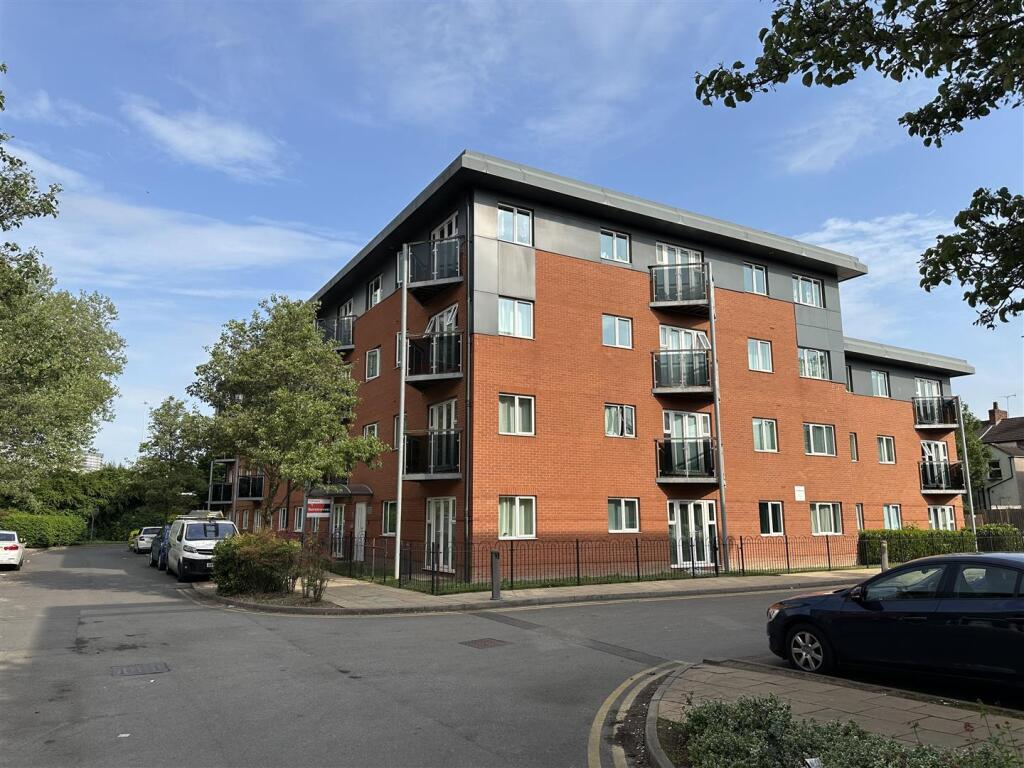
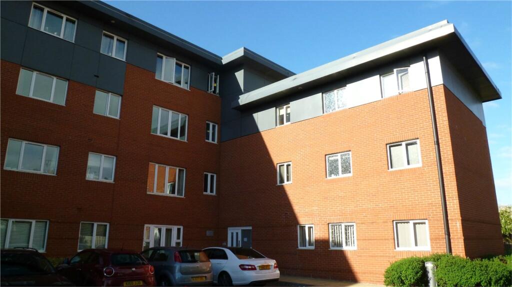
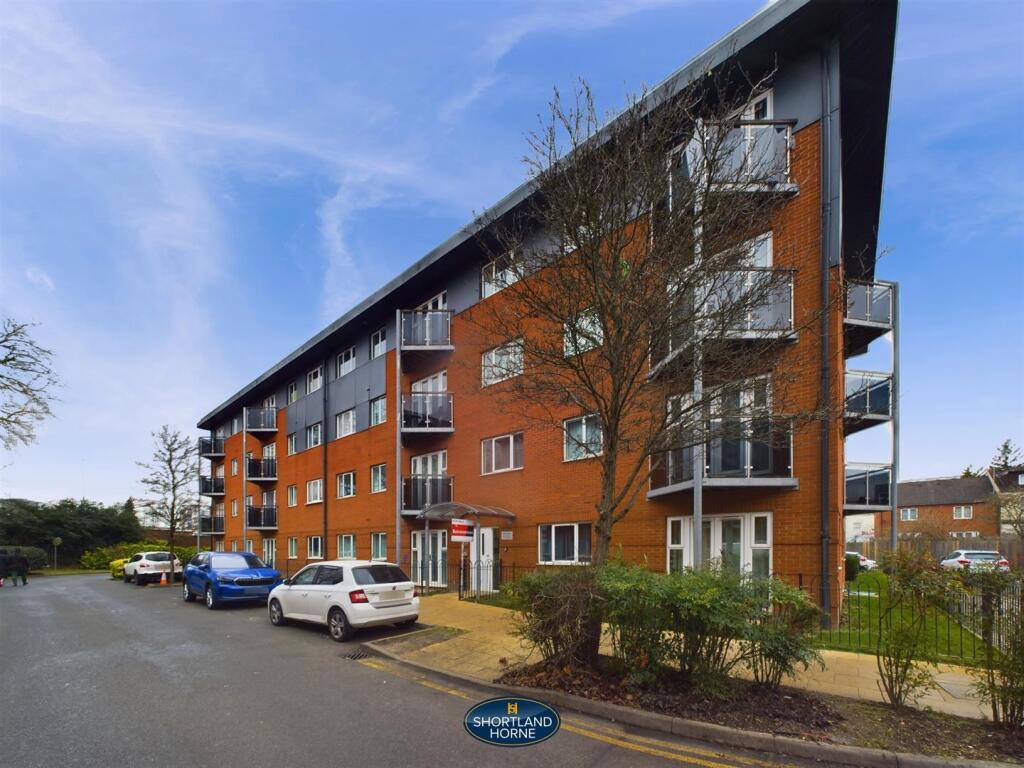
Property Information Report
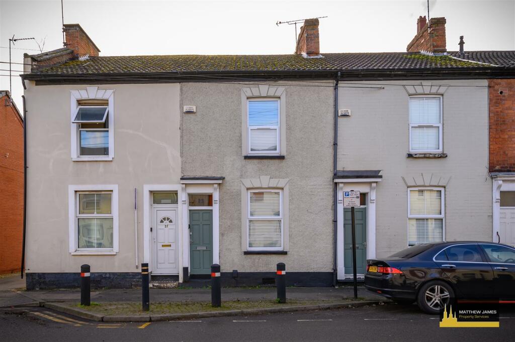
Lower Ford Street
Coventry, CV1
Last Sold - Jun, 2001


Description
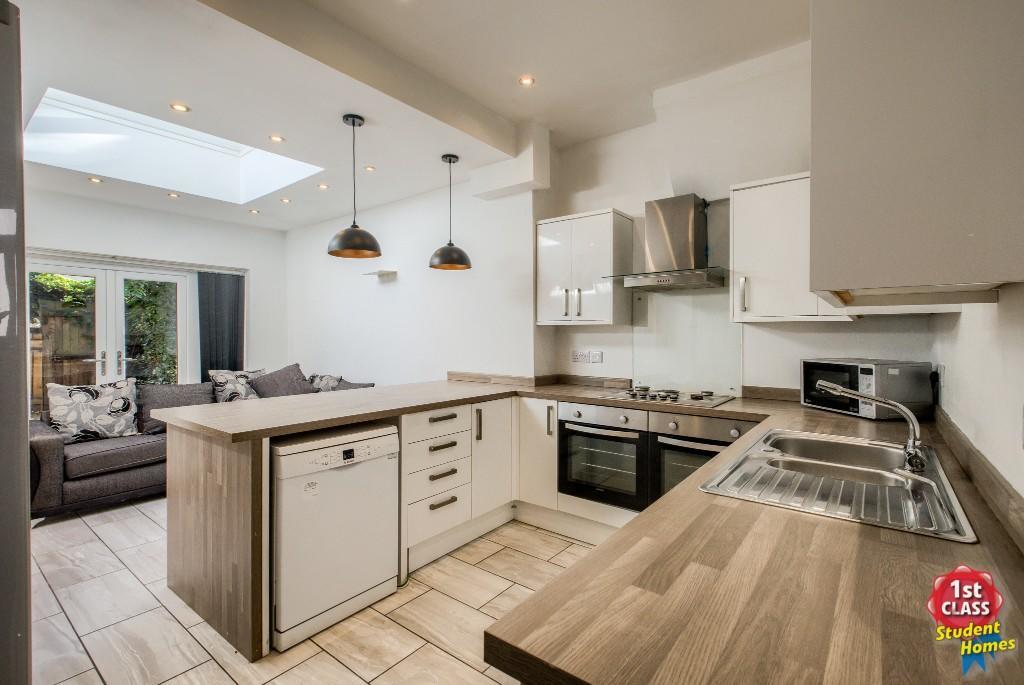
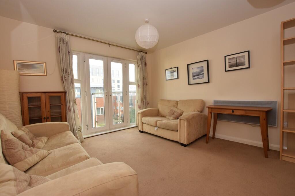
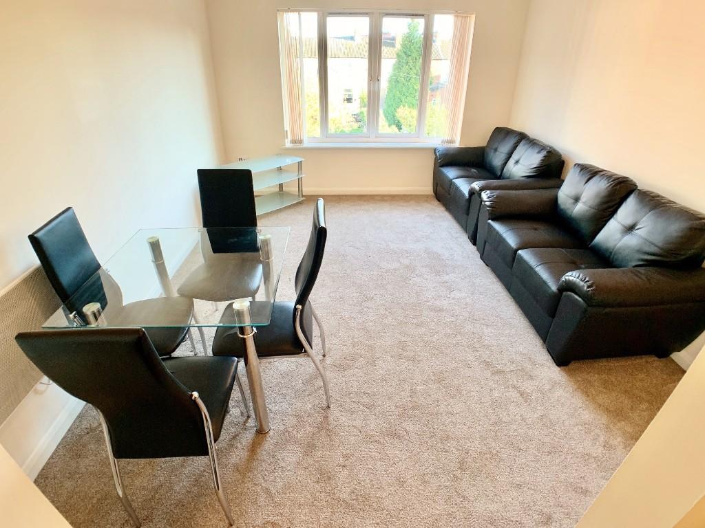
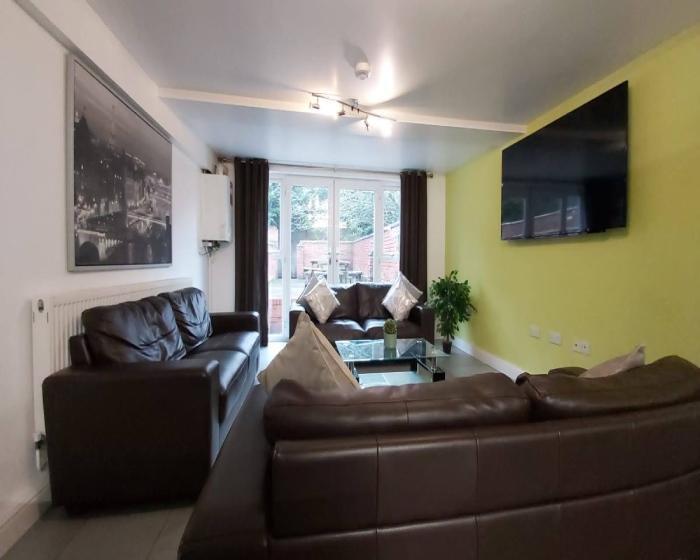
Centrally situated there will be a good demand from both owner occupiers and investors. Currently let out until 7th September 2024 at £1,095pcm. Very spacious with natural hallway, two living rooms and kitchen and upstairs there is a full width front bedroom, rear bedroom and spacious bathroom. Neat gardens. Gas central heating and double glazing.
Key Facts
Title Plan
 Contains OS data © Crown copyright 2025
Title Information
Details provided by the Land Registry
- Title Number
- WK212746
- Plot Size
- 0.03 acres (127 sq metres)
Street View
House Prices in Coventry
Last 12 months
-
Average Price Change
£13,178
Increased by 6%
-
Terraced Price Change
£11,916
Increased by 6%
Average House Prices
Last 12 months for all property types.
Since - February 2020
-
Average Price Change
£45,827
Increased by 25%
-
Terraced Price Change
£43,605
Increased by 26%
Average House Prices
Since 2020 for all property types
EPC

EPC Information
Details taken from the EPC register
- Date
- 2019-08-29
- Valid Until
- 2029-08-28
- Energy Efficiency - Current
- 67
- Energy Efficiency - Potential
- 88
- Environmental Impact - Current
- 63
- Environmental Impact - Potential
- 87
Properties For Sale in the Area
Lower Ford Street
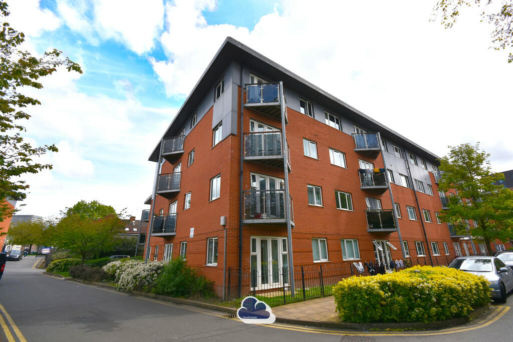
Conisbrough Keep
48 metres away
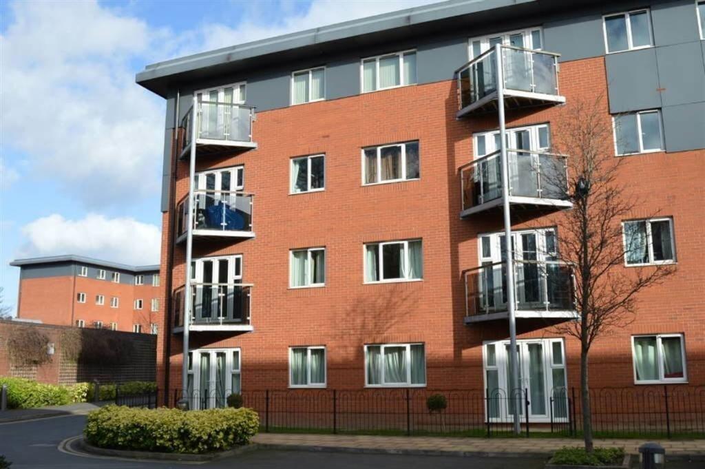
Conisbrough Keep
48 metres away

Conisbrough Keep
48 metres away
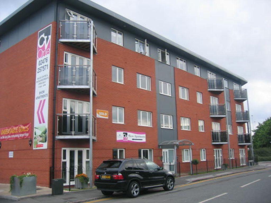
Coinsborough Keep
48 metres away
Hever Hall
49 metres away
Properties To Let in the Area
Lower Ford Street
35 metres away
Hever Hall
48 metres away
Hever Hall
48 metres away
Hever Hall
48 metres away
Hever Hall
48 metres away
Lower Ford Street
49 metres away
Schools
| Name | Type | Postcode | Distance | Rating |
|---|---|---|---|---|
| Southfields Primary School | Nursery, Primary | CV1 5LS | 0.41 km | Good |
| Sidney Stringer Academy | Secondary, Post 16 | CV1 5LY | 0.42 km | Good |
| Coventry University | University | CV1 5FB | 0.47 km | Not rated |
| Sidney Stringer Primary Academy | Primary | CV1 5GU | 0.50 km | Outstanding |
| St Mary and St Benedict Catholic Primary School | Nursery, Primary | CV1 5HG | 0.59 km | Good |
Transport
Train Stations
Details provided by Department for Transport
| Name | Distance |
|---|---|
| Coventry Rail Station | 1.28 km |
| Canley Rail Station | 3.36 km |
| Coventry Arena Rail Station | 4.28 km |
Nearest Motorway
Details provided by Department for Transport
| Name | Distance |
|---|---|
| M6 | 5.95 km |
Airports
Details provided by Department for Transport
| Name | Distance |
|---|---|
| Coventry Airport | 4.96 km |
| Birmingham International Airport | 16.35 km |
| East Midlands Airport | 47.78 km |
| London Oxford Airport | 65.53 km |
| Gloucestershire Airport | 73.19 km |
Coverage
- Average Broadband Speed:
-
10mb Basic
-
59mb Superfast
-
1000mb Ultrafast
-
1000mb Overall
- Mobile Coverage:
-
EEOkay
-
O2Good
-
ThreeOkay
-
VodafoneOkay
Recently Sold Properties in the Area
| Address | Property Type | Distance | Price | Completed |
|---|---|---|---|---|
|
Apartment 32, Hever Hall, Conisbrough Keep Coventry, CV1 5PB |
Flats/Maisonettes | 48 metres away | £139,500 | 5 months ago |
|
Apartment 33, Hever Hall, Conisbrough Keep Coventry, CV1 5PB |
Flats/Maisonettes | 48 metres away | £134,000 | 11 months ago |
|
62 Lower Ford Street Coventry, CV1 5PW |
Terraced | 51 metres away | £215,000 | 8 months ago |
|
Apartment 9, Bodiam Hall, 9 Lower Ford Street Coventry, CV1 5PA |
Flats/Maisonettes | 59 metres away | £105,000 | 7 months ago |
|
Apartment 31, Bodiam Hall, 9 Lower Ford Street Coventry, CV1 5PA |
Flats/Maisonettes | 59 metres away | £100,000 | 9 months ago |
|
114 Lower Ford Street Coventry, CV1 5PW |
Terraced | 0.16 km away | £122,500 | 7 months ago |
|
21 Winchester Street Coventry, CV1 5NT |
Terraced | 0.23 km away | £140,000 | 2 months ago |
|
23 Winchester Street Coventry, CV1 5NT |
Terraced | 0.23 km away | £140,000 | 10 months ago |
|
68 Colchester Street Coventry, CV1 5NZ |
Terraced | 0.32 km away | £142,000 | 7 months ago |
|
15 Vecqueray Street Coventry, CV1 2HP |
Terraced | 0.45 km away | £175,000 | 7 months ago |
Important Notice - This report is intended for general informational purposes only and should act only as a guide. The report is produced automatically on behalf of Coopers Estate Agents - Coventry by Street Insights, a product of Street Systems Ltd. Street Systems maintains and aggregates data from multiple public data sources and whilst every effort is made to keep information up to date and accurate, we make no representations or warranties of any kind about the accuracy, reliability or completeness of the information contained within this report for any purpose. Any reliance you place on the data contained within this report is strictly at your own risk. In no event will Coopers Estate Agents - Coventry or Street Systems Ltd be liable for any loss or damage including without limitation, indirect or consequential loss or damage, or any loss or damage whatsoever arising from loss of data or profits arising out of, or in connection with, the use of this report.
This report contains public sector information licensed under the Open Government License v3.0
Transaction data and HPI data is produced by HM Land Registry. Crown copyright and database rights 2025