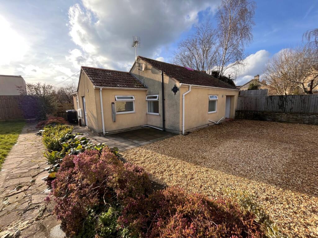
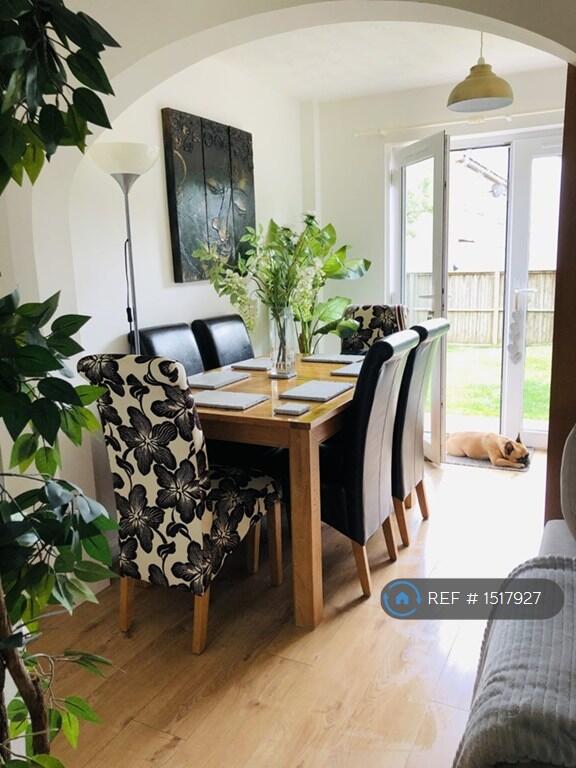
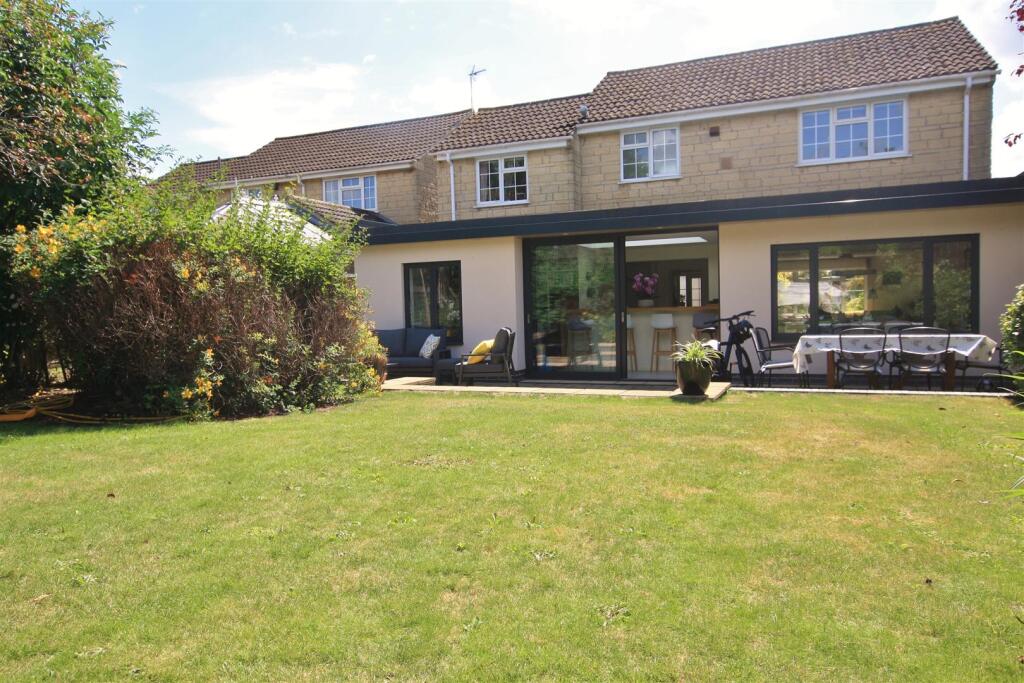
Property Information Report

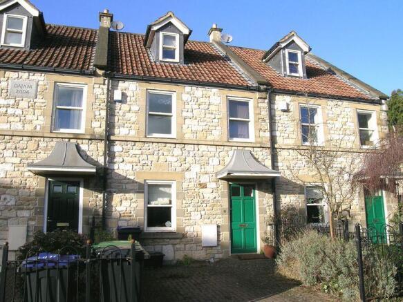
44 Poulton
Bradford-On-Avon, BA15 1EA
Estimated Rental Value - £1,325 PCM
Last Sold - Aug, 2023

Key Facts
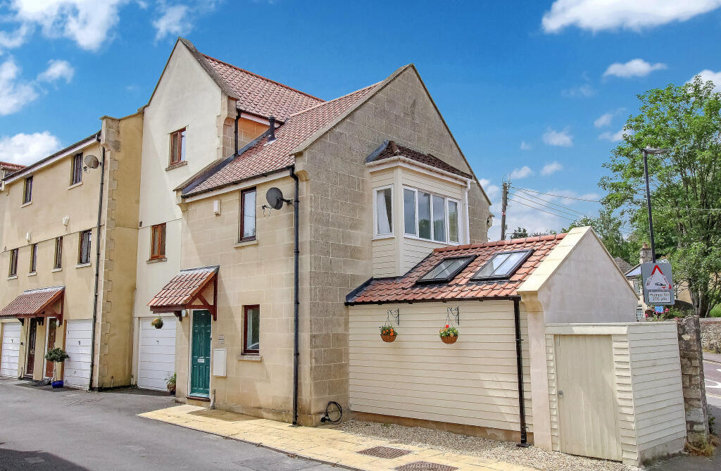
Properties To Let in the Area
Trowbridge Road
0.36 km away
Upper Regents Park
0.36 km away
St Katherines Quay
0.38 km away
Frome Road
0.42 km away
Longs Yard
0.52 km away
Mythern Meadow
0.60 km away
Title Plan
Title Information
Details provided by the Land Registry
- Title Number
- WT59482
- Plot Size
- 0.04 acres (146 sq metres)
Street View
House Prices in Wiltshire
Last 12 months
-
Average Price Change
£15,363
Increased by 5%
-
Terraced Price Change
£13,347
Increased by 5%
Average House Prices
Last 12 months for all property types.
Since Last Sale - 16th August 2023
-
Average Price Change
£62,768
Increased by 23%
-
Terraced Price Change
£53,843
Increased by 25%
Average House Prices
Since 2020 for all property types
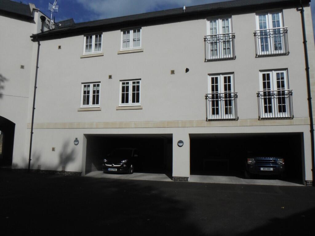
Properties For Sale in the Area
Bradford on Avon
51 metres away
Bradford on Avon
0.14 km away
Palairet Close
0.16 km away
Trowbridge Road
0.20 km away
Trowbridge Road
0.21 km away
Bradford on Avon
0.24 km away
Recently Sold Properties in the Area
| Address | Property Type | Distance | Price | Completed |
|---|---|---|---|---|
|
25 Poulton Bradford-On-Avon, BA15 1EA |
Terraced | 51 metres away | £272,500 | 1 month ago |
|
158 Trowbridge Road Bradford-On-Avon, BA15 1EW |
Terraced | 79 metres away | £537,500 | 6 months ago |
|
128 Trowbridge Road Bradford-On-Avon, BA15 1EW |
Semi-Detached | 0.11 km away | £480,000 | 10 months ago |
|
102 Trowbridge Road Bradford-On-Avon, BA15 1EN |
Terraced | 0.17 km away | £531,000 | 9 months ago |
|
2 Culver Road Bradford-On-Avon, BA15 1HY |
Terraced | 0.18 km away | £361,000 | 6 months ago |
|
Flat 4, 97 Trowbridge Road Bradford-On-Avon, BA15 1EG |
Flats/Maisonettes | 0.19 km away | £180,000 | 6 months ago |
|
6 Culver Road Bradford-On-Avon, BA15 1HY |
Terraced | 0.19 km away | £360,000 | 10 months ago |
|
92 Trowbridge Road Bradford-On-Avon, BA15 1EN |
Terraced | 0.20 km away | £556,500 | 6 months ago |
|
5 Downavon Bradford-On-Avon, BA15 1JH |
Semi-Detached | 0.20 km away | £337,500 | 2 months ago |
|
12 Downavon Bradford-On-Avon, BA15 1JH |
Semi-Detached | 0.23 km away | £282,500 | 11 months ago |
Schools
| Name | Type | Postcode | Distance | Rating |
|---|---|---|---|---|
| Fitzmaurice Primary School | Primary | BA15 1LE | 0.40 km | Good |
| Christ Church Church of England Controlled Primary School | Primary | BA15 1ST | 1.34 km | Good |
| St Laurence School | Secondary, Post 16 | BA15 1DZ | 1.58 km | Good |
| Westwood-with-Iford Primary School | Primary | BA15 2BY | 2.46 km | Not rated |
| Westwood-with-Iford Primary School | Primary | BA15 2BY | 2.48 km | Not rated |
Transport
Bus Stops & Stations
Details provided by Department for Transport
| Name | Distance |
|---|---|
| St Laurence Road | 0.11 km |
| Southville Gardens | 0.12 km |
| Post Office, Trowbridge Road | 0.27 km |
| Loddon Way | 0.33 km |
| Piplar Ground, Southway Road | 0.34 km |
Train Stations
Details provided by Department for Transport
| Name | Distance |
|---|---|
| Bradford-On-Avon Rail Station | 0.66 km |
| Avoncliff Rail Station | 2.46 km |
| Trowbridge Rail Station | 3.19 km |
| Freshford Rail Station | 3.79 km |
Nearest Motorway
Details provided by Department for Transport
| Name | Distance |
|---|---|
| M4 | 19.37 km |
Coverage
- Average Broadband Speed:
-
7mb Basic
-
79mb Superfast
-
1000mb Ultrafast
-
1000mb Overall
- Mobile Coverage:
-
EEOkay
-
O2Good
-
ThreeGood
-
VodafoneOkay
About Us

Kingstons
Kingstons Estate Agents have been successfully selling and letting residential and commercial properties in and around Bradford on Avon since 1994.
Important Notice - This report is intended for general informational purposes only and should act only as a guide. The report is produced automatically on behalf of Kingstons Estate Agents - Bradford on Avon by Street Insights, a product of Street Systems Ltd. Street Systems maintains and aggregates data from multiple public data sources and whilst every effort is made to keep information up to date and accurate, we make no representations or warranties of any kind about the accuracy, reliability or completeness of the information contained within this report for any purpose. Any reliance you place on the data contained within this report is strictly at your own risk. In no event will Kingstons Estate Agents - Bradford on Avon or Street Systems Ltd be liable for any loss or damage including without limitation, indirect or consequential loss or damage, or any loss or damage whatsoever arising from loss of data or profits arising out of, or in connection with, the use of this report.
This report contains public sector information licensed under the Open Government License v3.0
Transaction data and HPI data is produced by HM Land Registry. Crown copyright and database rights 2025