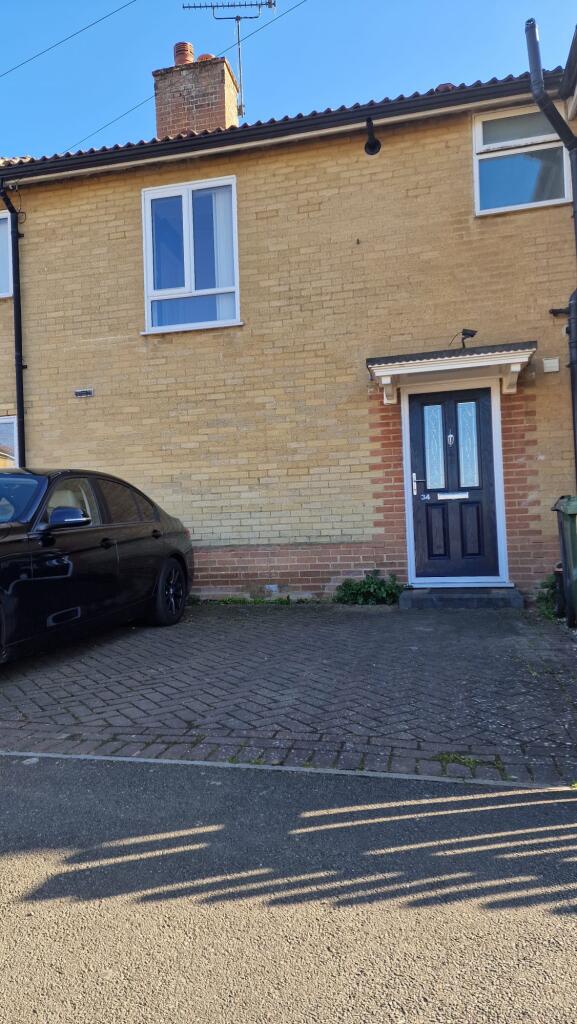
Buyer Information Report
7 Wharton Gardens
Willesborough, Ashford, TN24 0HQ
Estimated Value - £350,000
Estimated Rental Value - £1,425 PCM
Last Sold - Jun, 2024

Key Facts
Title Plan
 Contains OS data © Crown copyright 2025
Title Information
Details provided by the Land Registry
- Title Number
- K727596
- Plot Size
- 0.09 acres (350 sq metres)
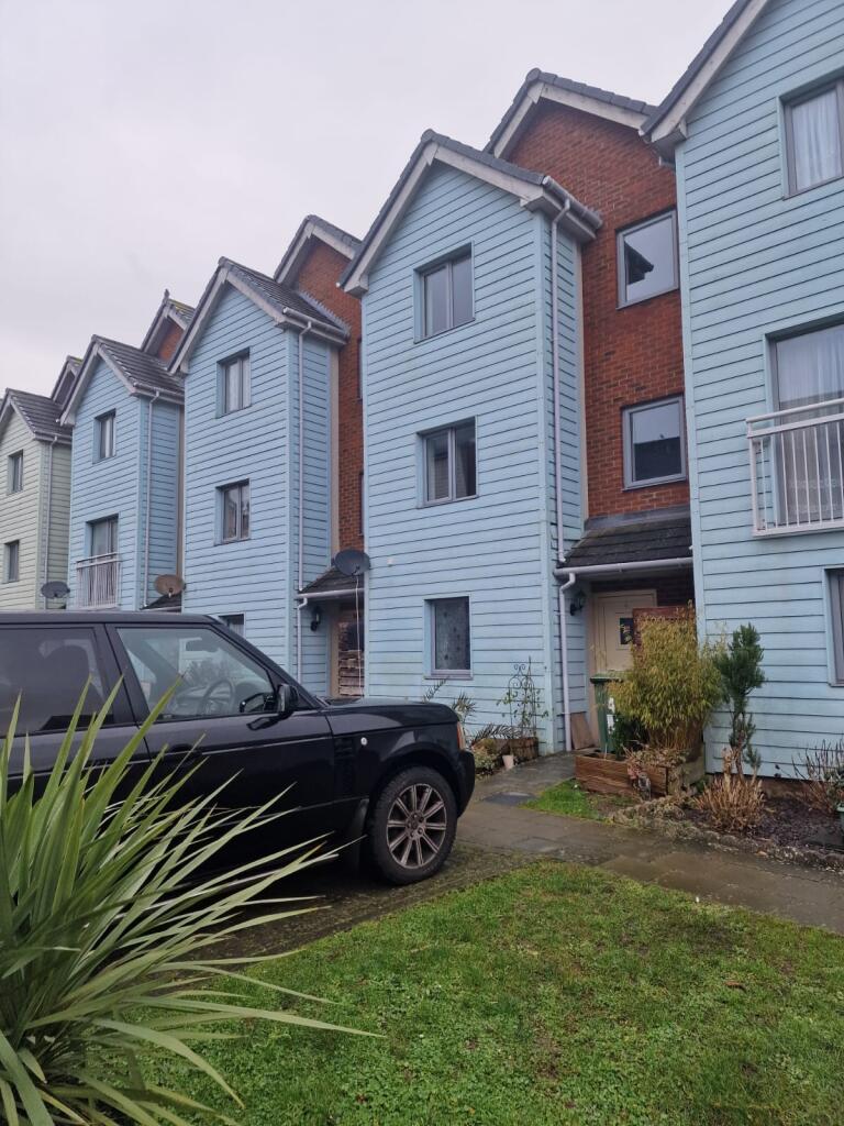
Street View
House Prices in Ashford
Last 12 months
-
Average Price Change
£7,105
Increased by 2%
-
Terraced Price Change
£6,935
Increased by 3%
Average House Prices
Last 12 months for all property types.
Since Last Sale - 28th June 2024
-
Average Price Change
£53,134
Increased by 18%
-
Terraced Price Change
£46,571
Increased by 20%
Average House Prices
Since 2020 for all property types
EPC

EPC Information
Details taken from the EPC register
- Date
- 2024-02-02
- Valid Until
- 2034-02-01
- Energy Efficiency - Current
- 68
- Energy Efficiency - Potential
- 84
- Environmental Impact - Current
- 64
- Environmental Impact - Potential
- 81
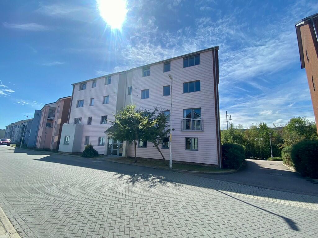
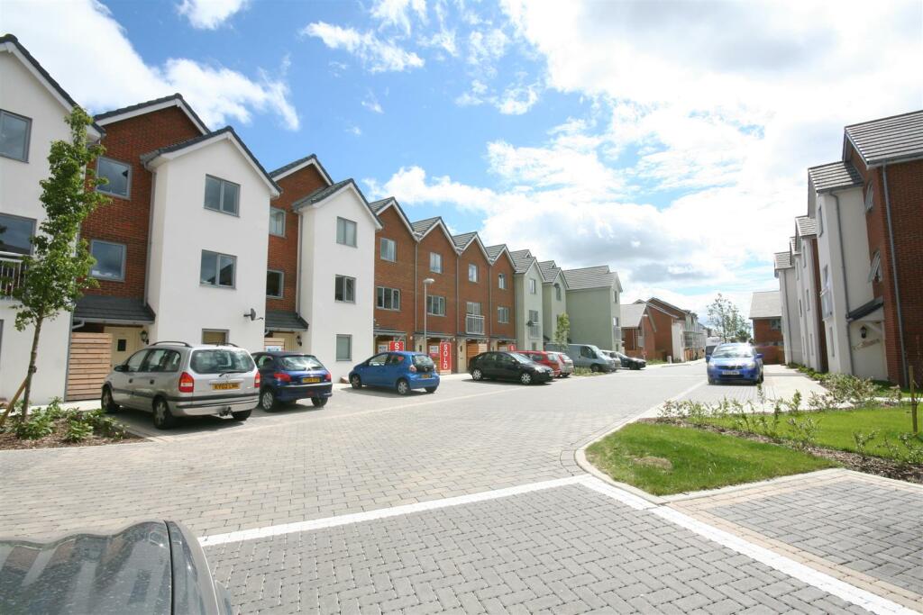
Properties For Sale in the Area
Osborne Road
94 metres away
Osborne Road
98 metres away
Osborne Road
0.13 km away
Osborne Road
0.13 km away
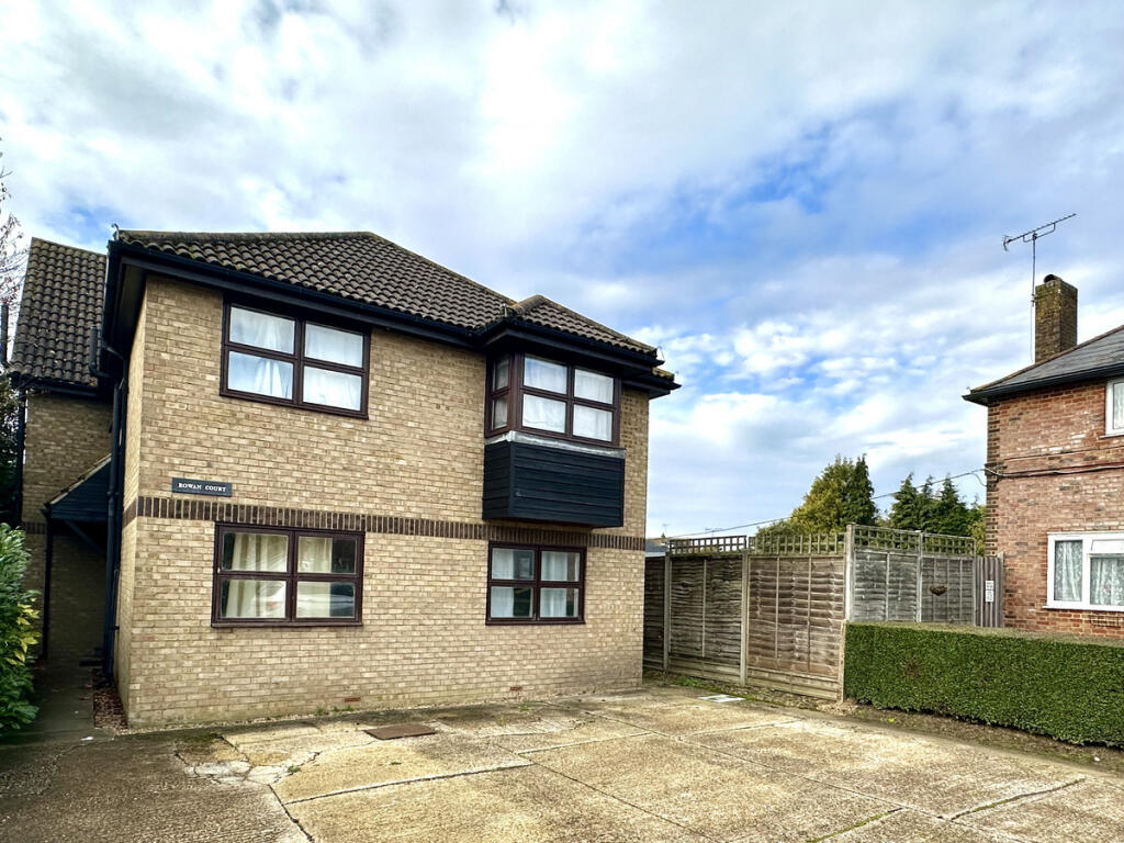
Rowan Court
0.14 km away
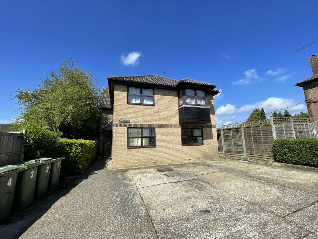
Rowan Court
0.14 km away
Properties To Let in the Area
Hunter Avenue
0.14 km away
Twelve Acre
0.30 km away
Billington Grove
0.35 km away
Billington Grove
0.36 km away
124 Adams DriveWillesboroughAshfordKent
0.39 km away
Drummond Grove
0.46 km away
Schools
| Name | Type | Postcode | Distance | Rating |
|---|---|---|---|---|
| Willesborough Infant School | Primary | TN24 0JZ | 0.60 km | Good |
| The North School | Secondary, Post 16 | TN24 8AL | 0.64 km | Not rated |
| The Norton Knatchbull School | Secondary, Post 16 | TN24 0QJ | 0.76 km | Good |
| Cornfields School | Special, Independent | TN24 8PL | 0.77 km | Outstanding |
| Willesborough Junior School | Primary | TN24 0JU | 0.78 km | Good |
Transport
Bus Stops & Stations
Details provided by Department for Transport
| Name | Distance |
|---|---|
| Orion Way | 0.11 km |
| Osborne Road | 0.19 km |
| Hunter Close | 0.26 km |
| Mill View, Mill View | 0.28 km |
| Summer Leeze, Twelve Acres | 0.31 km |
Train Stations
Details provided by Department for Transport
| Name | Distance |
|---|---|
| Ashford International Rail Station | 1.27 km |
Nearest Motorway
Details provided by Department for Transport
| Name | Distance |
|---|---|
| M20 | 1.25 km |
Coverage
- Average Broadband Speed:
-
5mb Basic
-
80mb Superfast
-
10000mb Ultrafast
-
10000mb Overall
- Mobile Coverage:
-
EEOkay
-
O2Good
-
ThreeGood
-
VodafoneOkay
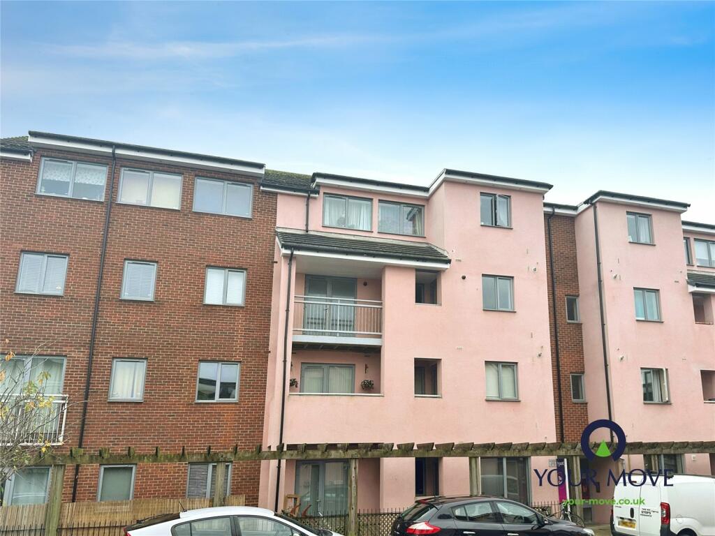
Recently Sold Properties in the Area
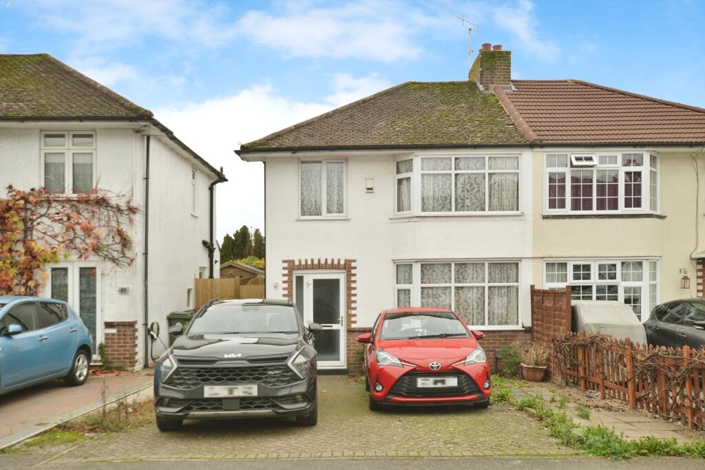
| Address | Property Type | Distance | Price | Completed |
|---|---|---|---|---|
|
7 Wharton Gardens Willesborough, Ashford, TN24 0HQ |
Terraced | away | £330,000 | 10 months ago |
|
Flat 5, Rowan Court, Hunter Avenue Willesborough, Ashford, TN24 0HF |
Flats/Maisonettes | 0.14 km away | £112,500 | 5 months ago |
|
118 Osborne Road Willesborough, Ashford, TN24 0EQ |
Terraced | 0.14 km away | £218,000 | 2 months ago |
|
74 Albemarle Road Willesborough, Ashford, TN24 0HN |
Semi-Detached | 0.19 km away | £285,000 | 3 months ago |
|
7 Quarry Close Willesborough, Ashford, TN24 0FS |
Terraced | 0.24 km away | £270,000 | 10 months ago |
|
16 Osborne Road Willesborough, Ashford, TN24 0EE |
Terraced | 0.27 km away | £270,000 | 8 months ago |
|
59 Hunter Road Willesborough, Ashford, TN24 0RT |
Terraced | 0.27 km away | £330,000 | 3 months ago |
|
15 Osborne Road Willesborough, Ashford, TN24 0ED |
Semi-Detached | 0.27 km away | £150,000 | 6 months ago |
|
48 Albemarle Road Willesborough, Ashford, TN24 0HN |
Terraced | 0.27 km away | £245,000 | 4 months ago |
|
198 Osborne Road Willesborough, Ashford, TN24 0DU |
Terraced | 0.29 km away | £315,000 | 3 months ago |
Important Notice - This report is intended for general informational purposes only and should act only as a guide. The report is produced automatically on behalf of Andrew & Co Estate Agents Ltd - Ashford by Street Insights, a product of Street Systems Ltd. Street Systems maintains and aggregates data from multiple public data sources and whilst every effort is made to keep information up to date and accurate, we make no representations or warranties of any kind about the accuracy, reliability or completeness of the information contained within this report for any purpose. Any reliance you place on the data contained within this report is strictly at your own risk. In no event will Andrew & Co Estate Agents Ltd - Ashford or Street Systems Ltd be liable for any loss or damage including without limitation, indirect or consequential loss or damage, or any loss or damage whatsoever arising from loss of data or profits arising out of, or in connection with, the use of this report.
This report contains public sector information licensed under the Open Government License v3.0
Transaction data and HPI data is produced by HM Land Registry. Crown copyright and database rights 2025