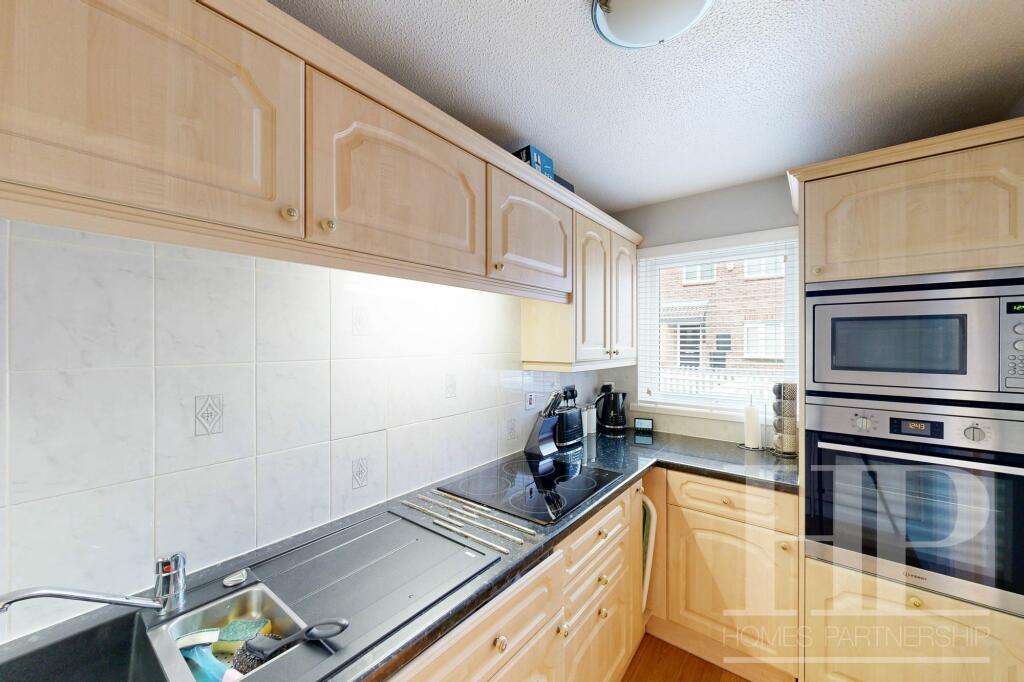
Property Information Report

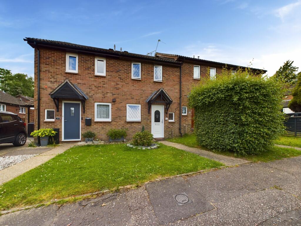
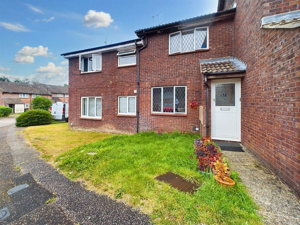
Woodwards
Crawley, RH11

Key Facts
About Us

Let us Inspire you
Are you considering selling or letting in Crawley or the surrounding areas? Would you like to deal with property professionals, who have lived and worked in the area for many years?
If you are, we guarantee you will be impressed with our service. We are so confident that you will love our honest and pro-active approach that we don't need to tie you into restrictive sole agency agreements!
Find out more at our website
Title Plan
 Contains OS data © Crown copyright 2024
Title Information
Details provided by the Land Registry
- Title Number
- WSX52271
- Plot Size
- 0.02 acres (83 sq metres)
Street View
House Prices in Crawley
Last 12 months
-
Average Price Change
£2,718
Decreased by 1%
-
Terraced Price Change
£2,265
Decreased by 1%
Average House Prices
Last 12 months for all property types.
Since - June 2019
-
Average Price Change
£35,814
Increased by 13%
-
Terraced Price Change
£40,618
Increased by 15%
Average House Prices
Since 2019 for all property types
EPC

EPC Information
Details taken from the EPC register
- Date
- 2024-07-29
- Valid Until
- 2034-07-28
- Energy Efficiency - Current
- 38
- Energy Efficiency - Potential
- 89
- Environmental Impact - Current
- 50
- Environmental Impact - Potential
- 72
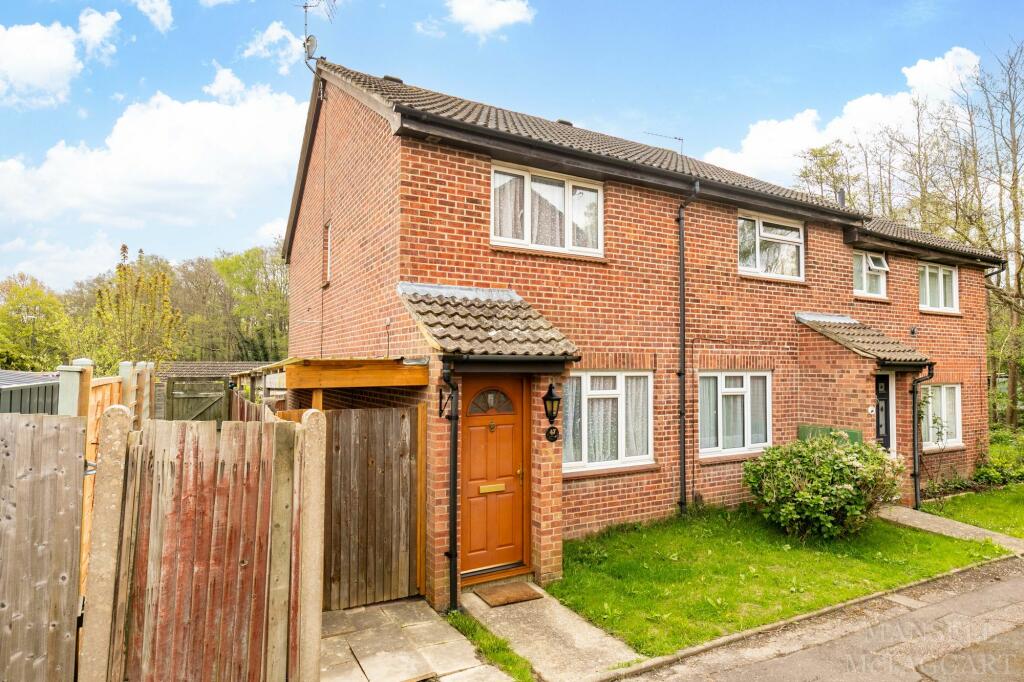
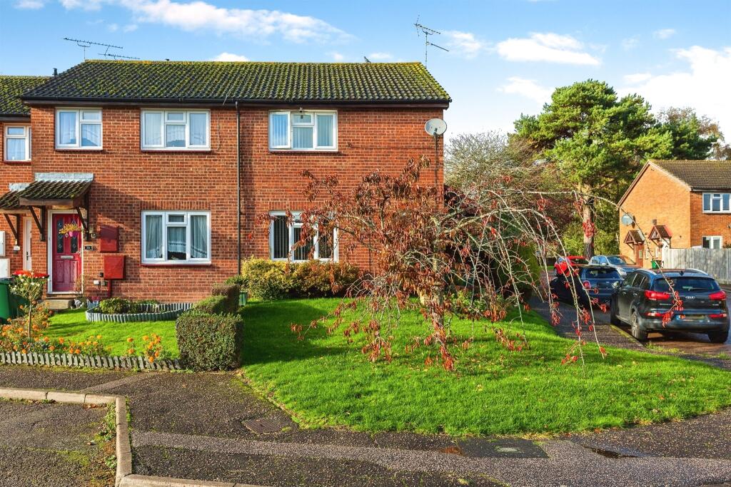
Properties For Sale in the Area
Woodwards
2 metres away
Woodwards
39 metres away
Southbrook
94 metres away
Hillingdale
0.11 km away
Southbrook
0.12 km away
Wilberforce Close
0.13 km away
Recently Sold Properties in the Area
| Address | Property Type | Distance | Price | Completed |
|---|---|---|---|---|
|
22 Timberlands Crawley, RH11 9PH |
Flats/Maisonettes | 48 metres away | £165,000 | 10 months ago |
|
18 Hillingdale Crawley, RH11 9PG |
Terraced | 0.11 km away | £320,000 | 2 months ago |
|
11 Wilmington Close Crawley, RH11 9TB |
Terraced | 0.12 km away | £293,000 | 11 months ago |
|
17 The Acorns Crawley, RH11 9QW |
Terraced | 0.13 km away | £293,000 | 6 months ago |
|
26 William Morris Way Crawley, RH11 9TE |
Semi-Detached | 0.16 km away | £312,000 | 7 months ago |
|
55 Hillingdale Crawley, RH11 9PF |
Flats/Maisonettes | 0.17 km away | £95,000 | 7 months ago |
|
77 Hillingdale Crawley, RH11 9PF |
Flats/Maisonettes | 0.18 km away | £115,000 | 10 months ago |
|
85 Hillingdale Crawley, RH11 9PF |
Terraced | 0.19 km away | £200,000 | 10 months ago |
|
6 Hollingbourne Crescent Crawley, RH11 9QJ |
Terraced | 0.22 km away | £240,000 | 10 months ago |
|
Flat 15, Rathbone House, Chippendale Road Crawley, RH11 9LN |
Flats/Maisonettes | 0.24 km away | £170,000 | 10 months ago |
Schools
| Name | Type | Postcode | Distance | Rating |
|---|---|---|---|---|
| Atelier21 Future School | Independent, Primary | RH11 9RZ | 0.58 km | Not rated |
| Broadfield Primary Academy | Nursery, Primary | RH11 9PD | 0.75 km | Good |
| Seymour Primary School | Nursery, Primary | RH11 9ES | 0.84 km | Good |
| Woodgate Primary School | Nursery, Primary | RH11 9GT | 0.93 km | Good |
| Desmond Anderson Primary Academy | Special, Nursery | RH10 5EA | 1.21 km | Good |
Transport
Bus Stops & Stations
Details provided by Department for Transport
| Name | Distance |
|---|---|
| Creasys Drive East, Creasys Drive | 0.12 km |
| Bishopstone Walk | 0.14 km |
| William Morris Way | 0.20 km |
| Coachmans Drive South, Coachmans Drive | 0.31 km |
| Little Trees Cemetery, Tollgate Hill | 0.43 km |
Train Stations
Details provided by Department for Transport
| Name | Distance |
|---|---|
| Crawley Rail Station | 2.46 km |
| Ifield Rail Station | 2.74 km |
| Three Bridges Rail Station | 3.99 km |
| Faygate Rail Station | 4.26 km |
Nearest Motorway
Details provided by Department for Transport
| Name | Distance |
|---|---|
| M23 | 0.74 km |
Coverage
- Average Broadband Speed:
-
3mb Basic
-
32mb Superfast
-
1000mb Ultrafast
-
1000mb Overall
- Mobile Coverage:
-
EEGood
-
O2Good
-
ThreeGood
-
VodafoneOkay
Important Notice - This report is intended for general informational purposes only and should act only as a guide. The report is produced automatically on behalf of Inspire Estate Agents - Crawley by Street Insights, a product of Street Systems Ltd. Street Systems maintains and aggregates data from multiple public data sources and whilst every effort is made to keep information up to date and accurate, we make no representations or warranties of any kind about the accuracy, reliability or completeness of the information contained within this report for any purpose. Any reliance you place on the data contained within this report is strictly at your own risk. In no event will Inspire Estate Agents - Crawley or Street Systems Ltd be liable for any loss or damage including without limitation, indirect or consequential loss or damage, or any loss or damage whatsoever arising from loss of data or profits arising out of, or in connection with, the use of this report.
This report contains public sector information licensed under the Open Government License v3.0
Transaction data and HPI data is produced by HM Land Registry. Crown copyright and database rights 2024