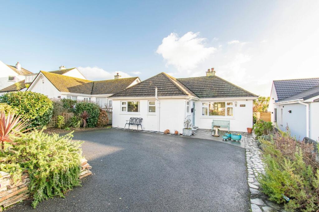
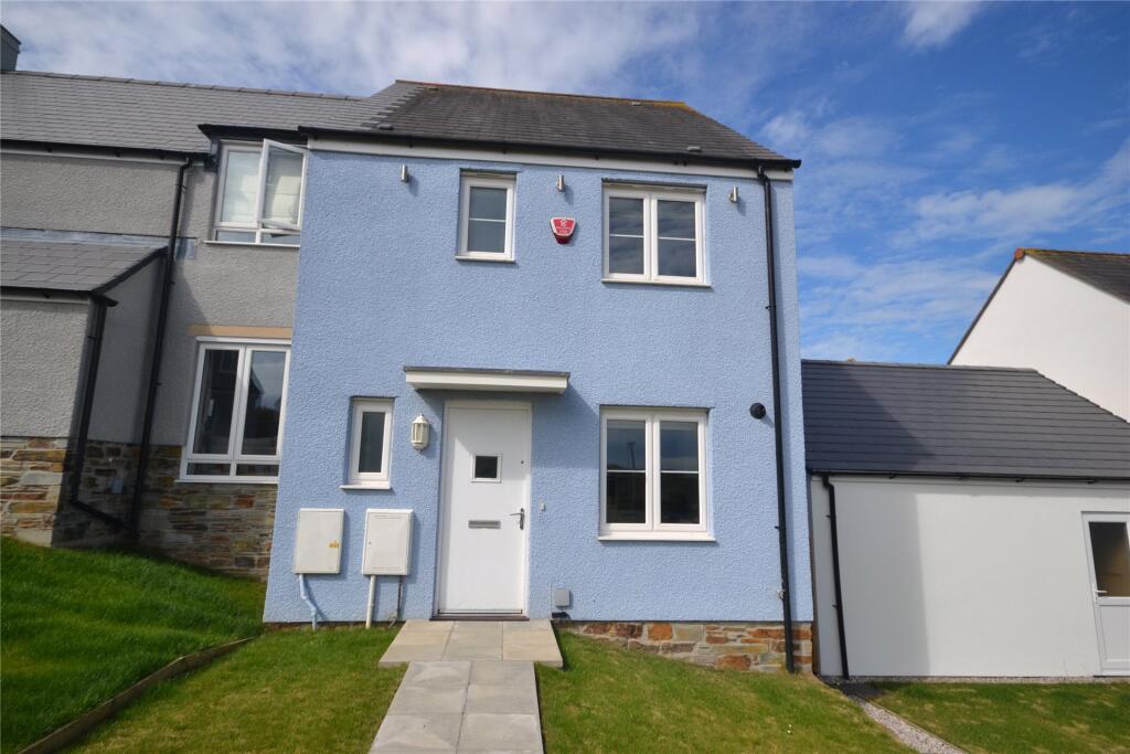
Property Information Report

Barbican Road
Looe, PL13
Estimated Rental Value - £1,400 PCM
Last Sold - Feb, 2021

Key Facts
Title Plan
 Contains OS data © Crown copyright 2025
Title Information
Details provided by the Land Registry
- Title Number
- CL125254
- Plot Size
- 0.09 acres (384 sq metres)
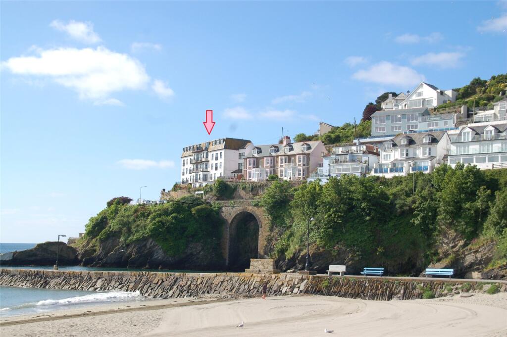
Street View
EPC

EPC Information
Details taken from the EPC register
- Date
- 2024-05-30
- Valid Until
- 2034-05-29
- Energy Efficiency - Current
- 70
- Energy Efficiency - Potential
- 83
- Environmental Impact - Current
- 66
- Environmental Impact - Potential
- 79
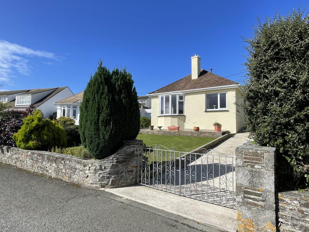
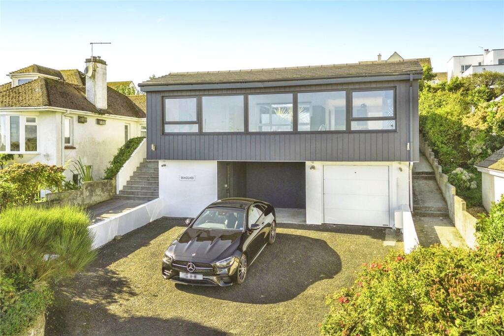
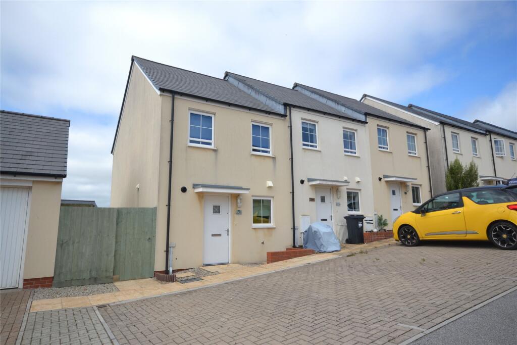
Properties For Sale in the Area
Barbican Road
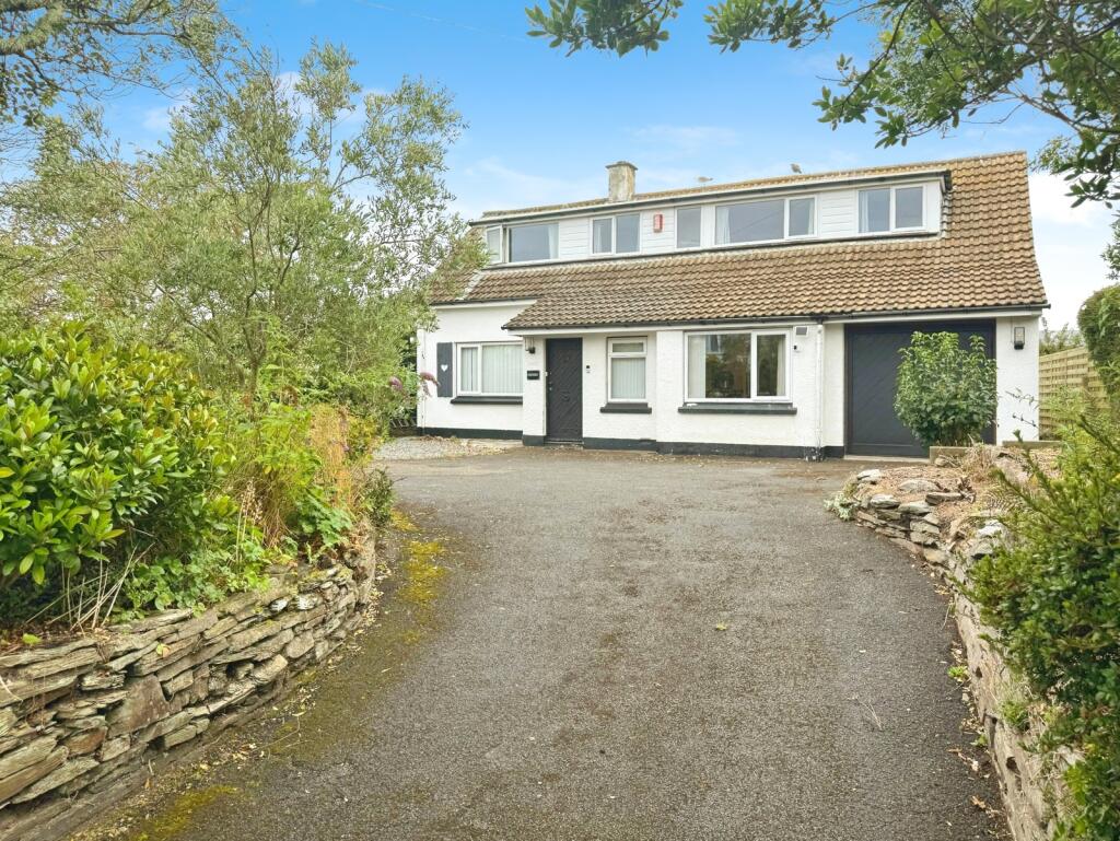
Barbican Road
57 metres away
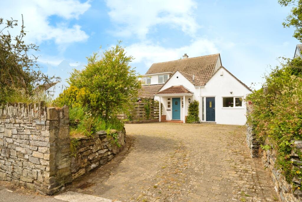
Barbican Road
72 metres away
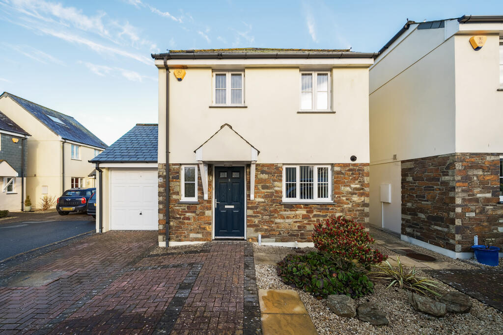
The Orchard
90 metres away
Listowel Drive
97 metres away
Listowel Drive
0.10 km away
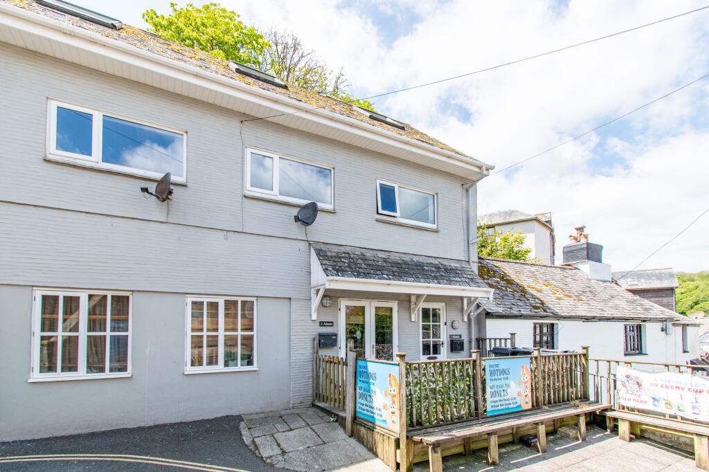
Properties To Let in the Area
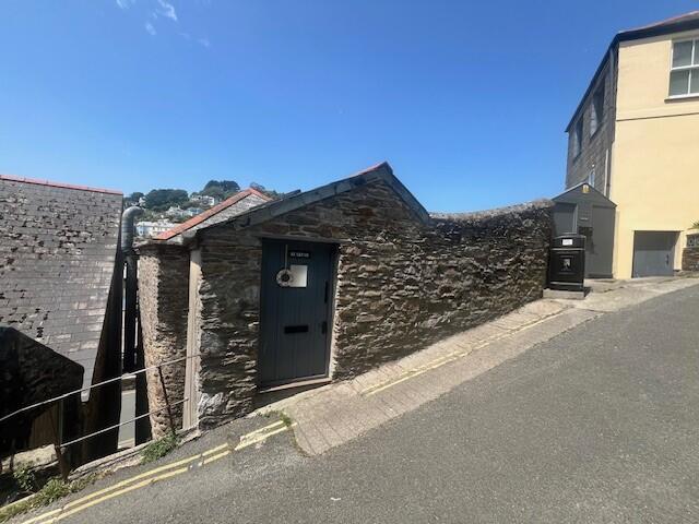
Shutta Road
0.50 km away

Shutta
0.50 km away
Looe
0.64 km away
Kimlers Way
0.88 km away
Kimlers Way
0.88 km away
Rock Towers Apartments
0.92 km away
Schools
| Name | Type | Postcode | Distance | Rating |
|---|---|---|---|---|
| Looe Primary Academy | Nursery, Primary | PL13 1JY | 0.17 km | Good |
| Looe Community Academy | Secondary | PL13 1NQ | 0.69 km | Good |
| Duloe CofE VA Primary Academy | Nursery, Primary | PL14 4PW | 4.86 km | Good |
Transport
Bus Stops & Stations
Details provided by Department for Transport
| Name | Distance |
|---|---|
| St Winnolls Park, Barbican Road | 61 metres |
| Primary School, Barbican Road | 0.13 km |
| The Barbican Inn, Barbican Road | 0.27 km |
| New Barbican Farm, Barbican Road | 0.42 km |
| Bridge | 0.46 km |
Train Stations
Details provided by Department for Transport
| Name | Distance |
|---|---|
| Looe Rail Station | 0.56 km |
| Sandplace Rail Station | 3.48 km |
Coverage
- Average Broadband Speed:
-
15mb Basic
-
80mb Superfast
-
80mb Overall
- Mobile Coverage:
-
EEOkay
-
O2Good
-
ThreeGood
-
VodafoneOkay
Recently Sold Properties in the Area
| Address | Property Type | Distance | Price | Completed |
|---|---|---|---|---|
|
Orleans, Barbican Road Looe, PL13 1EU |
Detached | 74 metres away | £345,000 | 6 months ago |
|
12 Trewint Crescent Looe, PL13 1ET |
Semi-Detached | 0.16 km away | £260,000 | 8 months ago |
|
33 Bodrigan Road Looe, PL13 1EH |
Detached | 0.28 km away | £300,000 | 7 months ago |
|
26 Restormel Road Looe, PL13 1EJ |
Semi-Detached | 0.34 km away | £460,000 | 4 months ago |
|
Seawinds, Plaidy Park Road Plaidy, Looe, PL13 1LG |
Detached | 0.35 km away | £715,000 | 8 months ago |
|
3 Baydown Looe, PL13 1NU |
Detached | 0.37 km away | £600,000 | 5 months ago |
|
Penmorvah, Shutta Road Looe, PL13 1HW |
Semi-Detached | 0.41 km away | £560,000 | 7 months ago |
|
8 North View Looe, PL13 1HR |
Terraced | 0.42 km away | £257,000 | 4 months ago |
|
4 Ingledene Shutta, Looe, PL13 1LT |
Terraced | 0.43 km away | £360,000 | 8 months ago |
|
1 Lynwood, Station Road Looe, PL13 1HN |
Flats/Maisonettes | 0.44 km away | £107,000 | 4 months ago |
Important Notice - This report is intended for general informational purposes only and should act only as a guide. The report is produced automatically on behalf of Parkes and Pearn - Parkes and Pearn by Street Insights, a product of Street Systems Ltd. Street Systems maintains and aggregates data from multiple public data sources and whilst every effort is made to keep information up to date and accurate, we make no representations or warranties of any kind about the accuracy, reliability or completeness of the information contained within this report for any purpose. Any reliance you place on the data contained within this report is strictly at your own risk. In no event will Parkes and Pearn - Parkes and Pearn or Street Systems Ltd be liable for any loss or damage including without limitation, indirect or consequential loss or damage, or any loss or damage whatsoever arising from loss of data or profits arising out of, or in connection with, the use of this report.
This report contains public sector information licensed under the Open Government License v3.0
Transaction data and HPI data is produced by HM Land Registry. Crown copyright and database rights 2025