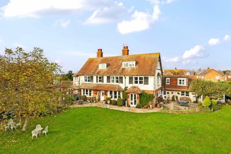
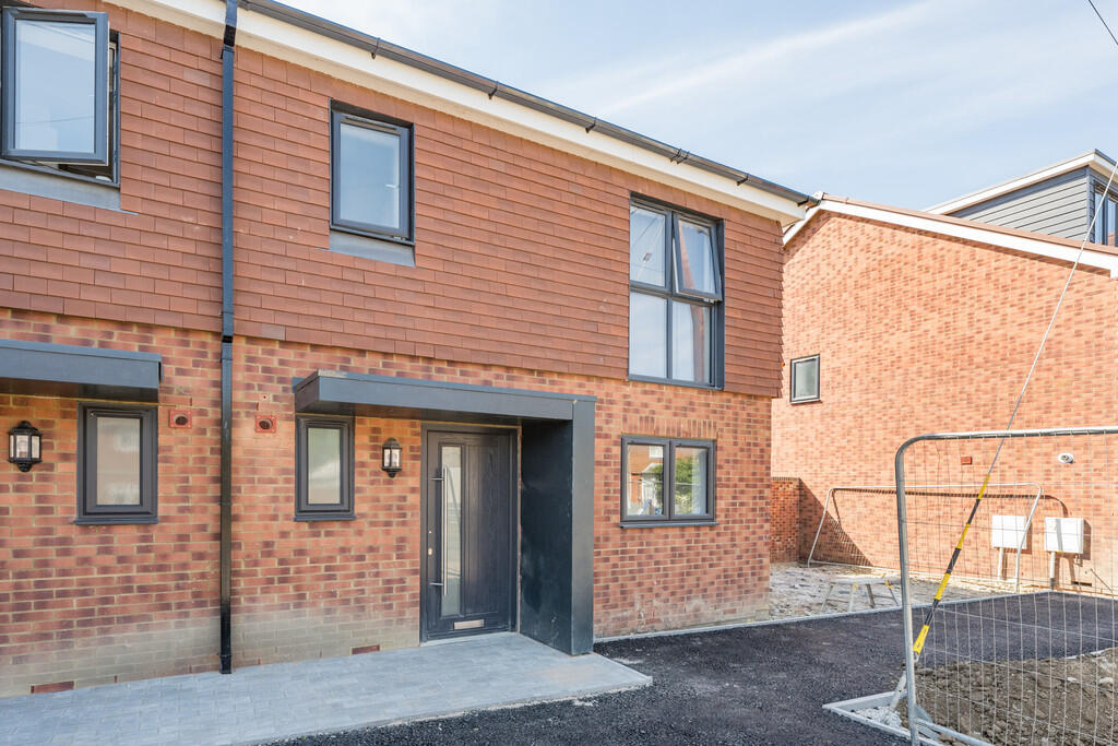
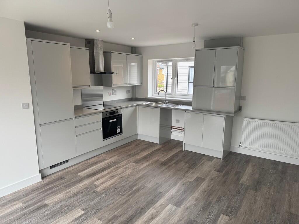
Buyer Information Report
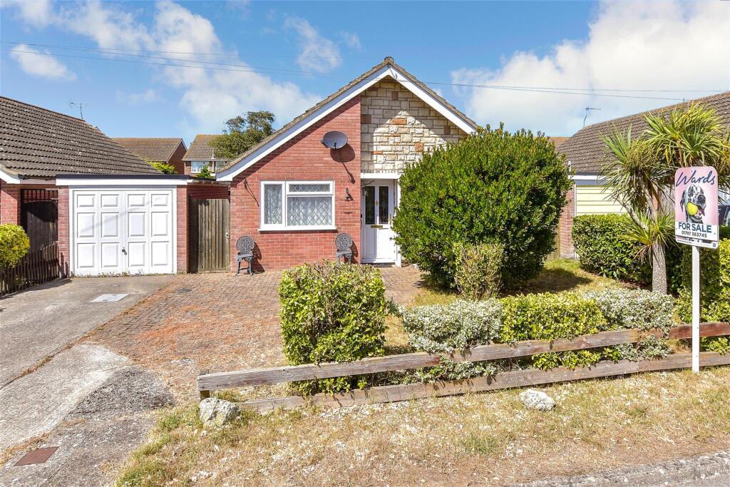
Brimar, St. Johns Road
New Romney, TN28 8EN
Estimated Value - £335,000
Estimated Rental Value - £1,500 PCM
Last Sold - Nov, 2024

Key Facts
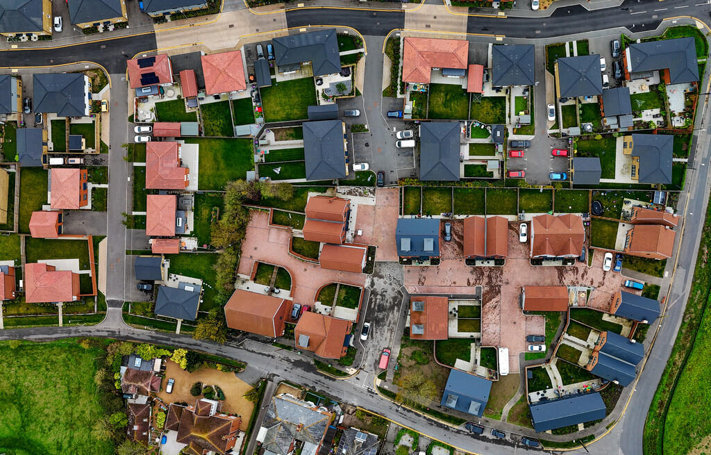
Title Plan
 Contains OS data © Crown copyright 2025
Title Information
Details provided by the Land Registry
- Title Number
- K499392
- Plot Size
- 0.09 acres (380 sq metres)
Street View
Videos & Virtual Tours
House Prices in Folkestone and Hythe
Last 12 months
-
Average Price Change
£16,964
Increased by 6%
-
Detached Price Change
£22,075
Increased by 4%
Average House Prices
Last 12 months for all property types.
Since Last Sale - 29th November 2024
-
Average Price Change
£56,297
Increased by 22%
-
Detached Price Change
£88,175
Increased by 20%
Average House Prices
Since 2020 for all property types
EPC

EPC Information
Details taken from the EPC register
- Date
- 2024-08-13
- Valid Until
- 2034-08-12
- Energy Efficiency - Current
- 65
- Energy Efficiency - Potential
- 85
- Environmental Impact - Current
- 61
- Environmental Impact - Potential
- 84
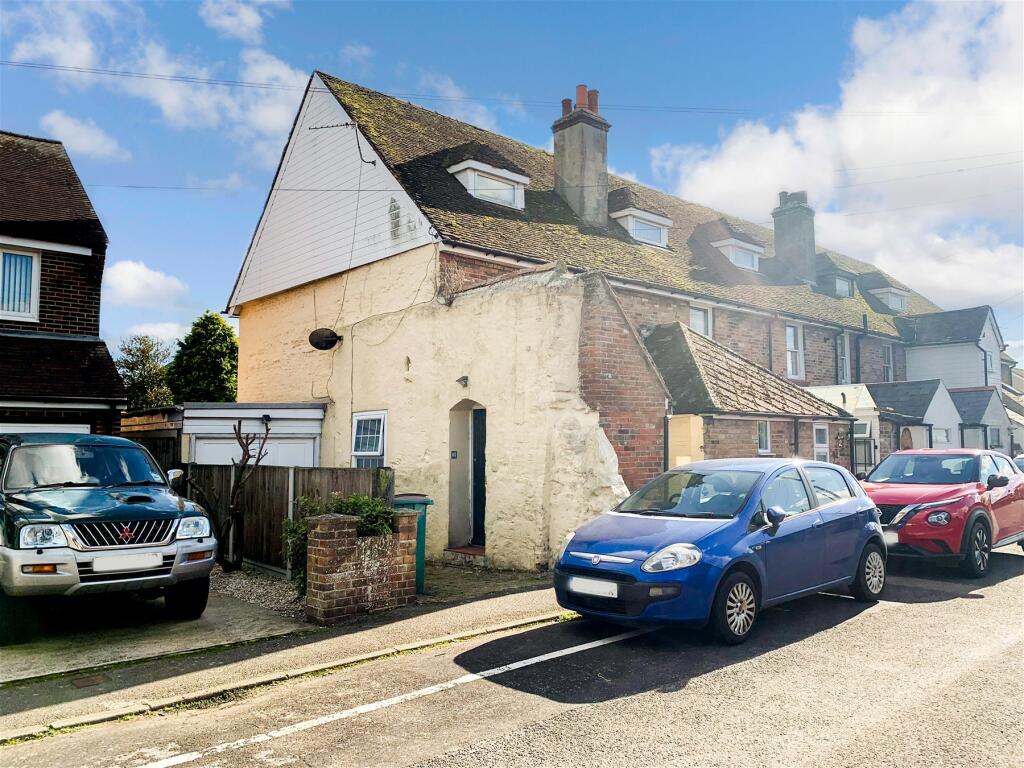
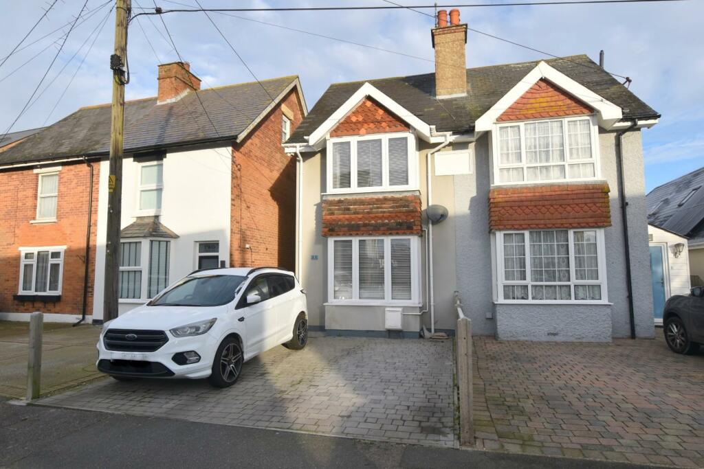
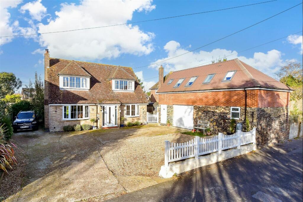
Properties For Sale in the Area
St. John's Road
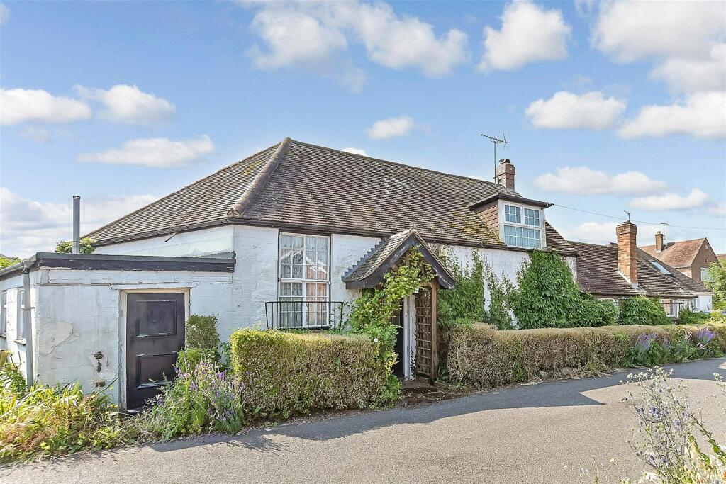
St. John's Road
24 metres away
St. John's Road
55 metres away
Sussex Road
69 metres away
Lydd Road
0.10 km away
Church Road
0.11 km away
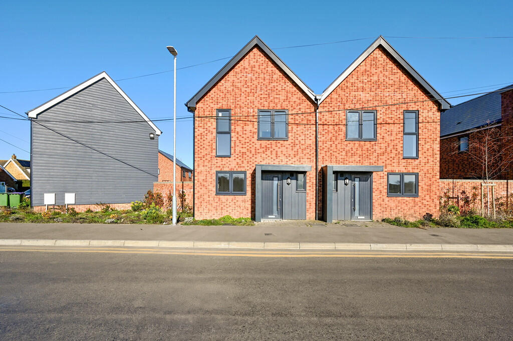
Properties To Let in the Area
11 Ashford Road
0.39 km away
15 Ashford Road
0.39 km away
Lemanis Close
0.44 km away
11 Lemanis Close
0.47 km away
3 Lemanis Close New Romney
0.47 km away

Lemanis Close
0.47 km away
Schools
| Name | Type | Postcode | Distance | Rating |
|---|---|---|---|---|
| St Nicholas Church of England Primary Academy | Primary | TN28 8BP | 0.66 km | Good |
| The Marsh Academy | Secondary, Post 16 | TN28 8BB | 0.90 km | Good |
| Lighthouse On the Marsh | Special | TN28 8LH | 1.18 km | Not rated |
| Greatstone Primary School | Nursery, Primary | TN28 8SY | 2.87 km | Good |
| Lydd Primary School | Nursery, Primary | TN29 9HW | 4.50 km | Good |
Transport
Bus Stops & Stations
Details provided by Department for Transport
| Name | Distance |
|---|---|
| Sussex Road | 0.16 km |
| West Street | 0.20 km |
| Spitalfield Lane | 0.31 km |
| Town Hall, High Street | 0.35 km |
| The Ship, High Street | 0.63 km |
Train Stations
Details provided by Department for Transport
| Name | Distance |
|---|
Nearest Motorway
Details provided by Department for Transport
| Name | Distance |
|---|---|
| M20 | 14.72 km |
Airports
Details provided by Department for Transport
| Name | Distance |
|---|---|
| Lydd London Ashford Airport | 3.35 km |
| Kent International Airport | 49.94 km |
| London Southend Airport | 66.93 km |
| Biggin Hill Airport | 73.84 km |
| London Gatwick Airport | 80.08 km |
Tram and Metro Stations
Details provided by Department for Transport
| Name | Distance |
|---|---|
| New Romney Station (Rhdr) | 1.33 km |
Coverage
- Average Broadband Speed:
-
16mb Basic
-
53mb Superfast
-
1000mb Ultrafast
-
1000mb Overall
- Mobile Coverage:
-
EEOkay
-
O2Good
-
ThreeOkay
-
VodafoneOkay
Recently Sold Properties in the Area
| Address | Property Type | Distance | Price | Completed |
|---|---|---|---|---|
|
Brimar, St. Johns Road New Romney, TN28 8EN |
Detached | away | £260,000 | 6 months ago |
|
Holmston, St. Johns Road New Romney, TN28 8EN |
Detached | 24 metres away | £310,000 | 7 months ago |
|
Ardenrun, Sussex Road New Romney, TN28 8DT |
Detached | 44 metres away | £478,000 | 5 months ago |
|
4 Malthouse Cottages, St. Johns Road New Romney, TN28 8EW |
Terraced | 0.10 km away | £180,000 | 10 months ago |
|
Chalfont, Church Road New Romney, TN28 8EY |
Detached | 0.15 km away | £430,000 | 4 months ago |
|
Buttfield Cottage, Church Road New Romney, TN28 8EY |
Semi-Detached | 0.25 km away | £345,000 | 7 months ago |
|
1 Longshore Cottages, Lydd Road New Romney, TN28 8FN |
Terraced | 0.27 km away | £310,000 | 9 months ago |
|
Sefton Lawn, Sussex Road New Romney, TN28 8HL |
Detached | 0.29 km away | £580,000 | 11 months ago |
|
Ashley House, Ashford Road New Romney, TN28 8TD |
Other | 0.39 km away | £243,750 | 6 months ago |
|
11 Ashdown Crescent New Romney, TN28 8EU |
Terraced | 0.46 km away | £310,000 | 2 months ago |
Important Notice - This report is intended for general informational purposes only and should act only as a guide. The report is produced automatically on behalf of Andrew & Co Estate Agents Ltd - New Romney by Street Insights, a product of Street Systems Ltd. Street Systems maintains and aggregates data from multiple public data sources and whilst every effort is made to keep information up to date and accurate, we make no representations or warranties of any kind about the accuracy, reliability or completeness of the information contained within this report for any purpose. Any reliance you place on the data contained within this report is strictly at your own risk. In no event will Andrew & Co Estate Agents Ltd - New Romney or Street Systems Ltd be liable for any loss or damage including without limitation, indirect or consequential loss or damage, or any loss or damage whatsoever arising from loss of data or profits arising out of, or in connection with, the use of this report.
This report contains public sector information licensed under the Open Government License v3.0
Transaction data and HPI data is produced by HM Land Registry. Crown copyright and database rights 2025