Property Information Report
Lupton Avenue
Coventry, CV3
Last Sold - Aug, 2005

Description
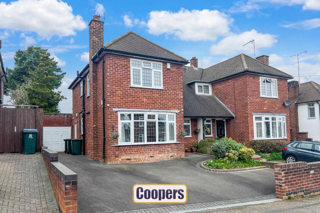
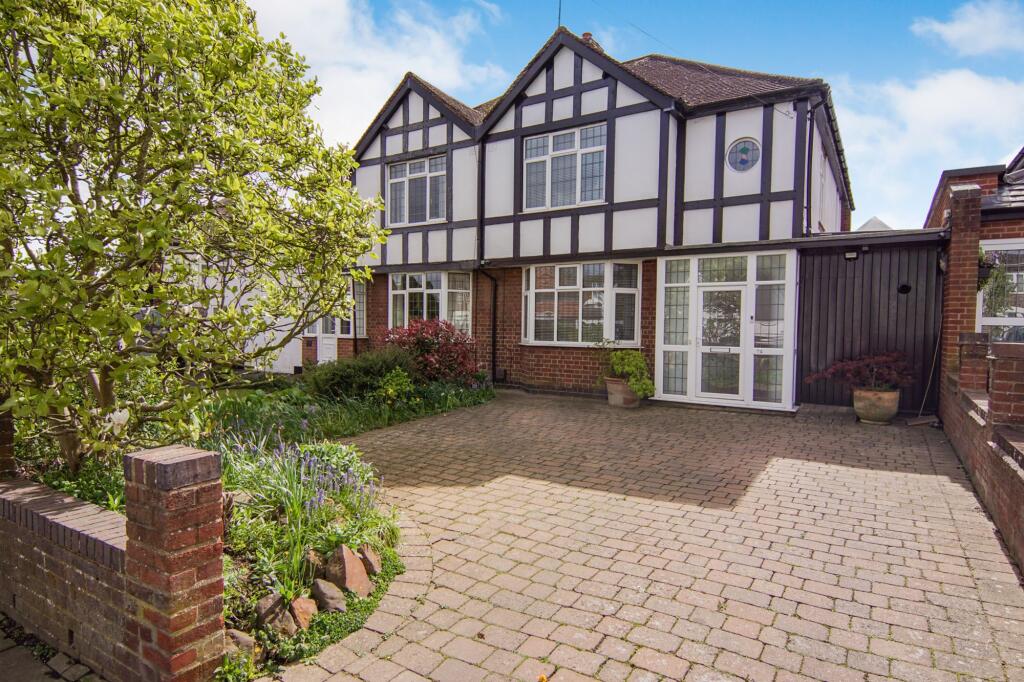
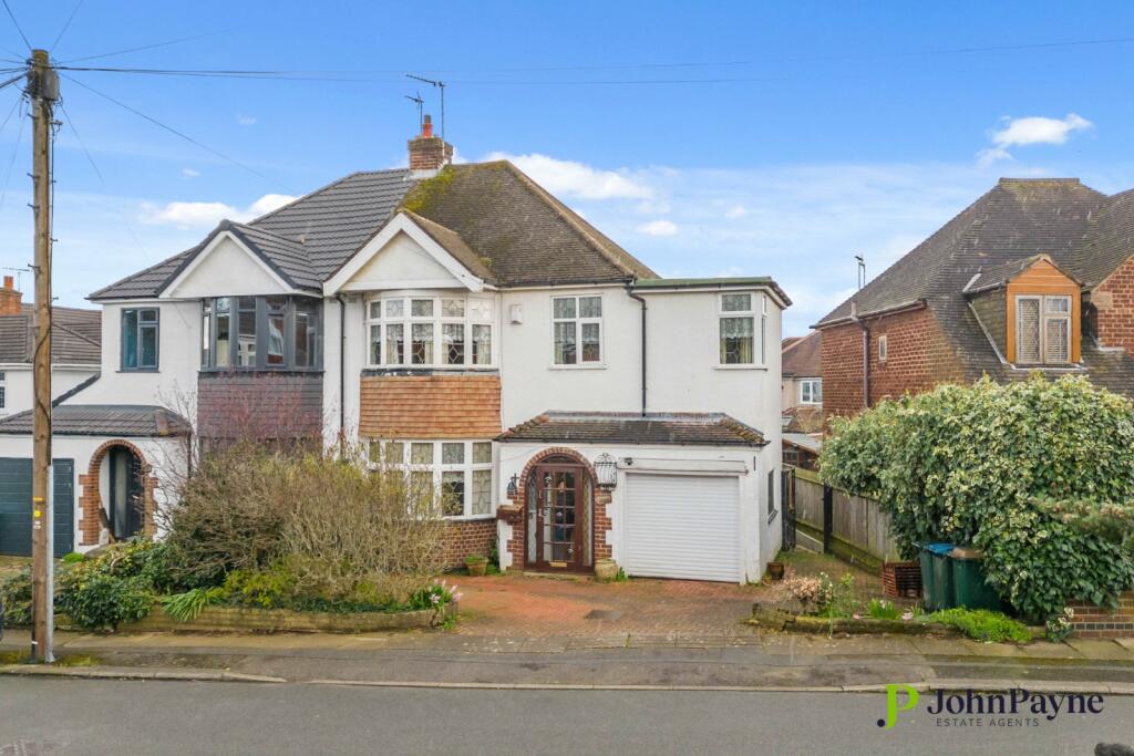
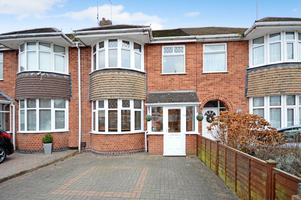
A beautifully extended family home in a fantastic and desirable location. Just a short walk to the Memorial Park and within easy access to the major road network. This home has a large driveway leading directly to the garage and the front of the property. As you walk through the front door, you are greeted with a light and airy hallway with a beautiful parquet floor. The lounge leads directly off the hallway as does the wet room, utility room and snug, directly off the snug you will find the well fitted modern extended kitchen. Upstairs there are three bedrooms and the family bathroom which all lead off the large landing. Outside you will find the rear garden quite breathtaking with lawns and mature shrubs and bushes which leads to the summer house.
Key Facts
Title Plan
 Contains OS data © Crown copyright 2025
Title Information
Details provided by the Land Registry
- Title Number
- WM865144
- Plot Size
- 0.12 acres (499 sq metres)
Street View
House Prices in Coventry
Last 12 months
-
Average Price Change
£13,482
Increased by 6%
-
Semi-Detached Price Change
£16,677
Increased by 7%
Average House Prices
Last 12 months for all property types.
Since - March 2020
-
Average Price Change
£45,161
Increased by 25%
-
Semi-Detached Price Change
£53,099
Increased by 25%
Average House Prices
Since 2020 for all property types
EPC

EPC Information
Details taken from the EPC register
- Date
- 2024-04-10
- Valid Until
- 2034-04-09
- Energy Efficiency - Current
- 67
- Energy Efficiency - Potential
- 78
- Environmental Impact - Current
- 62
- Environmental Impact - Potential
- 73
Properties For Sale in the Area
Lupton Avenue
Knoll Drive
0.17 km away
Knoll Drive
0.19 km away
Armorial Road
0.21 km away
Daventry Road
0.21 km away
Daintree Croft
0.21 km away
Properties To Let in the Area
Stamford Avenue
0.24 km away
Blondvil Street
0.36 km away
Benedictine Road
0.39 km away
Knoll Drive
0.40 km away
Benedictine Road
0.40 km away
Salisbury Avenue
0.40 km away
Schools
| Name | Type | Postcode | Distance | Rating |
|---|---|---|---|---|
| Manor Park Primary School | Nursery, Primary | CV3 5EZ | 0.32 km | Good |
| St Thomas More Catholic Primary School | Nursery, Primary | CV3 5DE | 0.67 km | Good |
| Stivichall Primary School | Primary | CV3 6PY | 0.83 km | Good |
| Grange Farm Primary School | Primary | CV3 6NF | 0.84 km | Good |
| Howes Community Primary School | Nursery, Primary | CV3 5EH | 0.98 km | Not rated |
Transport
Train Stations
Details provided by Department for Transport
| Name | Distance |
|---|---|
| Coventry Rail Station | 1.10 km |
| Canley Rail Station | 2.48 km |
Nearest Motorway
Details provided by Department for Transport
| Name | Distance |
|---|---|
| M6 | 7.87 km |
Airports
Details provided by Department for Transport
| Name | Distance |
|---|---|
| Coventry Airport | 3.67 km |
| Birmingham International Airport | 16.30 km |
| East Midlands Airport | 49.99 km |
| London Oxford Airport | 63.69 km |
| Gloucestershire Airport | 71.05 km |
Coverage
- Average Broadband Speed:
-
11mb Basic
-
71mb Superfast
-
1800mb Ultrafast
-
1800mb Overall
- Mobile Coverage:
-
EEOkay
-
O2Good
-
ThreeOkay
-
VodafoneOkay
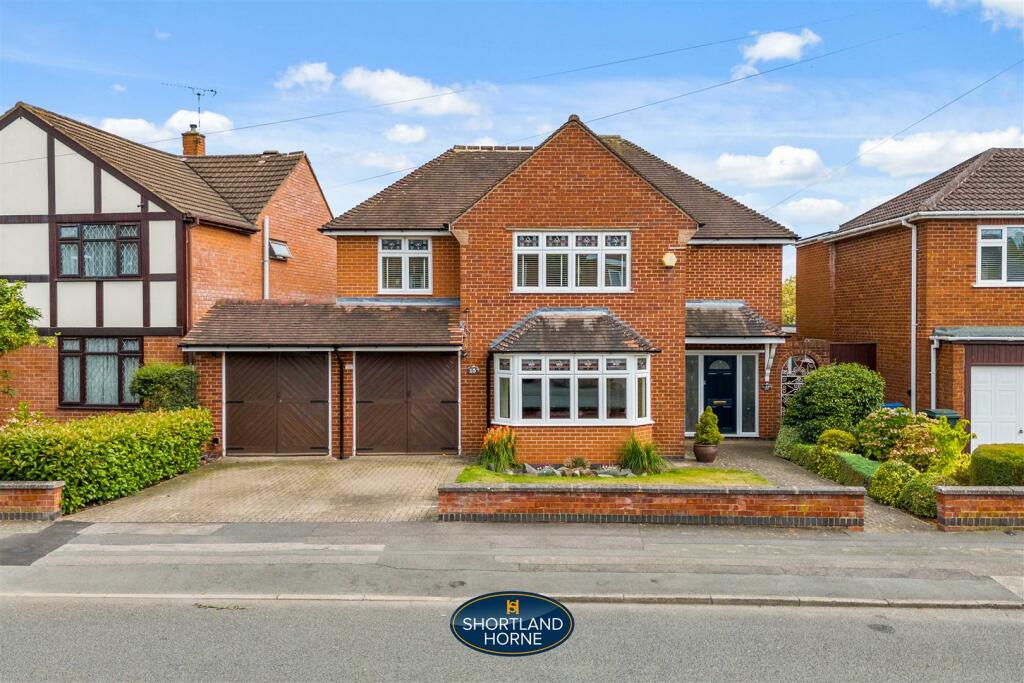
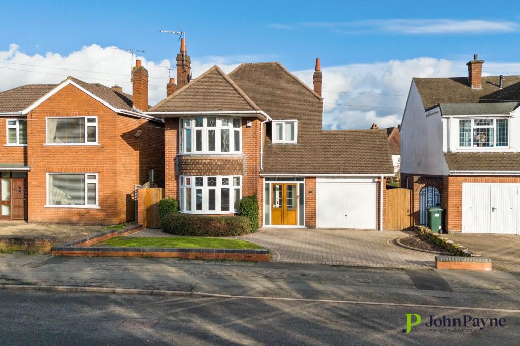
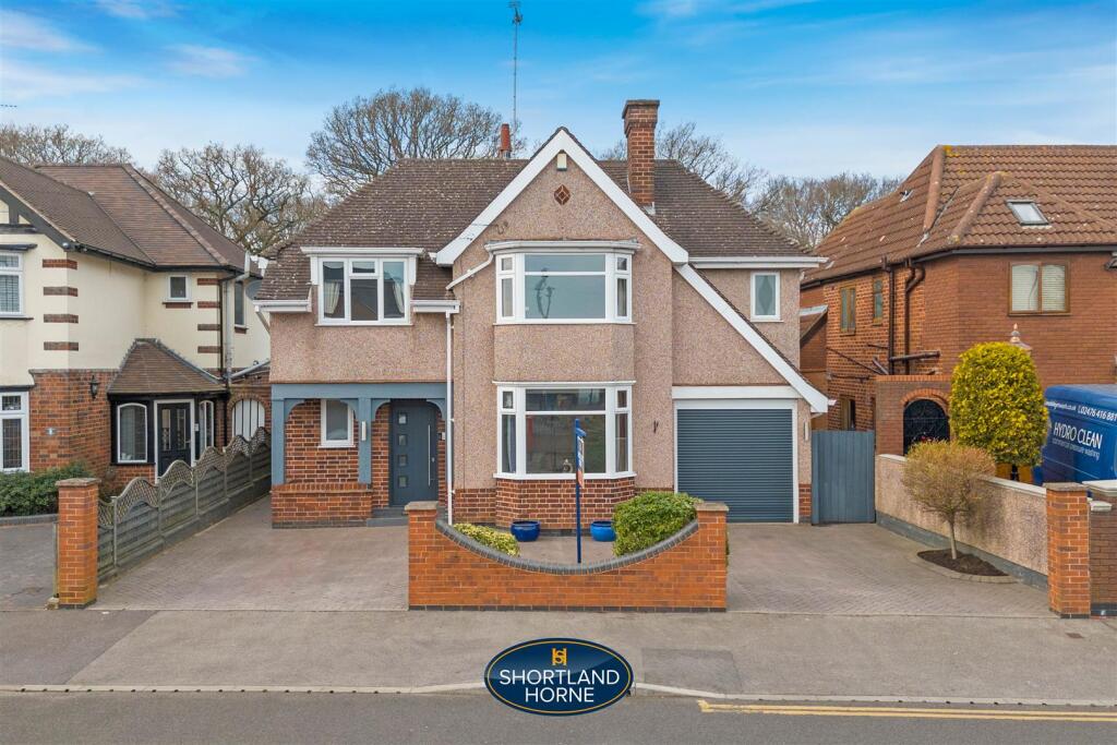
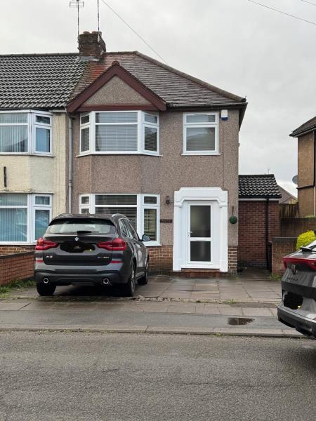
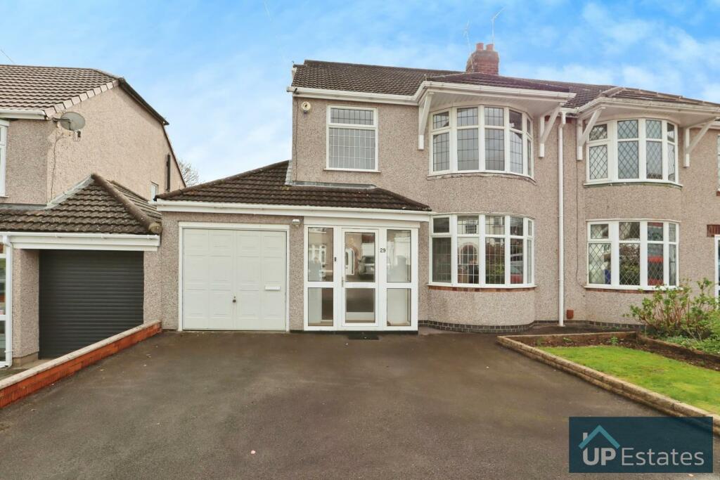
Recently Sold Properties in the Area
| Address | Property Type | Distance | Price | Completed |
|---|---|---|---|---|
|
32 Lupton Avenue Coventry, CV3 5BQ |
Semi-Detached | 84 metres away | £515,000 | 3 months ago |
|
38 Brayford Avenue Coventry, CV3 5BS |
Semi-Detached | 0.16 km away | £425,000 | 4 months ago |
|
65 Dillotford Avenue Coventry, CV3 5DS |
Semi-Detached | 0.21 km away | £450,000 | 11 months ago |
|
39 Daventry Road Coventry, CV3 5DJ |
Semi-Detached | 0.26 km away | £500,000 | 9 months ago |
|
38 Ulverscroft Road Coventry, CV3 5EZ |
Terraced | 0.28 km away | £310,000 | 11 months ago |
|
31 Daintree Croft Coventry, CV3 5DN |
Detached | 0.29 km away | £656,000 | 7 months ago |
|
8 Salisbury Avenue Coventry, CV3 5DB |
Semi-Detached | 0.37 km away | £395,000 | 5 months ago |
|
8 Lymesy Street Coventry, CV3 5DX |
Terraced | 0.40 km away | £210,000 | 9 months ago |
|
12a, Meschines Street Coventry, CV3 5DW |
Terraced | 0.43 km away | £121,000 | 7 months ago |
|
29 Stivichall Croft Coventry, CV3 6GP |
Detached | 0.46 km away | £770,000 | 3 months ago |
Important Notice - This report is intended for general informational purposes only and should act only as a guide. The report is produced automatically on behalf of Coopers Estate Agents - Coventry by Street Insights, a product of Street Systems Ltd. Street Systems maintains and aggregates data from multiple public data sources and whilst every effort is made to keep information up to date and accurate, we make no representations or warranties of any kind about the accuracy, reliability or completeness of the information contained within this report for any purpose. Any reliance you place on the data contained within this report is strictly at your own risk. In no event will Coopers Estate Agents - Coventry or Street Systems Ltd be liable for any loss or damage including without limitation, indirect or consequential loss or damage, or any loss or damage whatsoever arising from loss of data or profits arising out of, or in connection with, the use of this report.
This report contains public sector information licensed under the Open Government License v3.0
Transaction data and HPI data is produced by HM Land Registry. Crown copyright and database rights 2025