Buyer Information Report
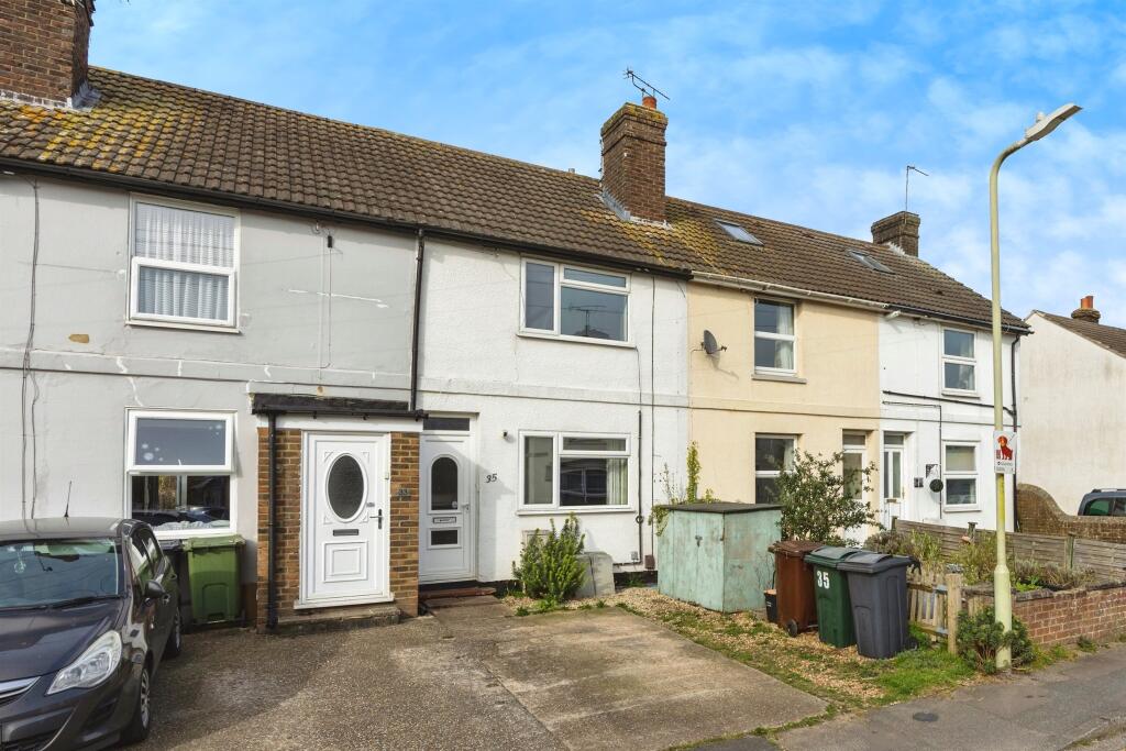
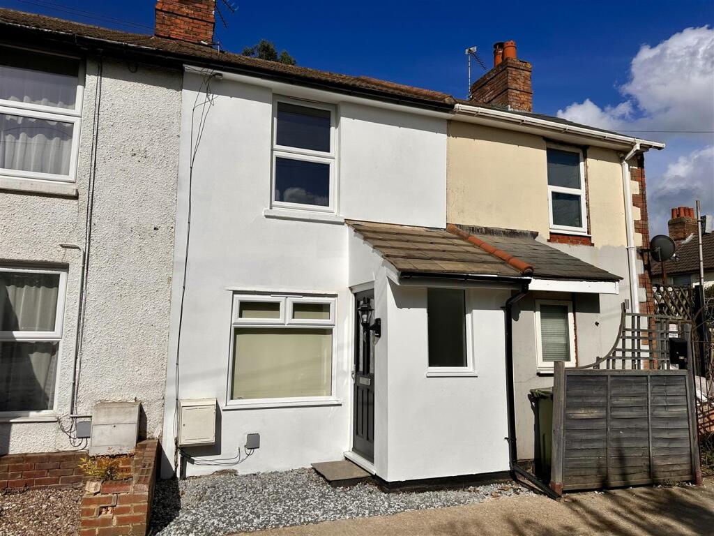
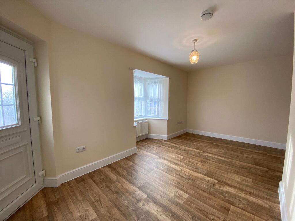
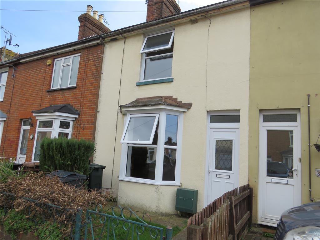
44 Providence Street
Ashford, TN23 7TW
Estimated Value - £207,000
Estimated Rental Value - £950 PCM
Last Sold - Jul, 2015

Key Facts
Title Plan
 Contains OS data © Crown copyright 2025
Title Information
Details provided by the Land Registry
- Title Number
- K325748
- Plot Size
- 0.04 acres (160 sq metres)
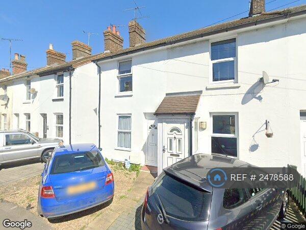
Street View
House Prices in Ashford
Last 12 months
-
Average Price Change
£7,105
Increased by 2%
-
Terraced Price Change
£6,935
Increased by 3%
Average House Prices
Last 12 months for all property types.
Since - February 2020
-
Average Price Change
£53,134
Increased by 18%
-
Terraced Price Change
£46,571
Increased by 20%
Average House Prices
Since 2020 for all property types
EPC

EPC Information
Details taken from the EPC register
- Date
- 2023-11-24
- Valid Until
- 2033-11-23
- Energy Efficiency - Current
- 67
- Energy Efficiency - Potential
- 87
- Environmental Impact - Current
- 65
- Environmental Impact - Potential
- 87
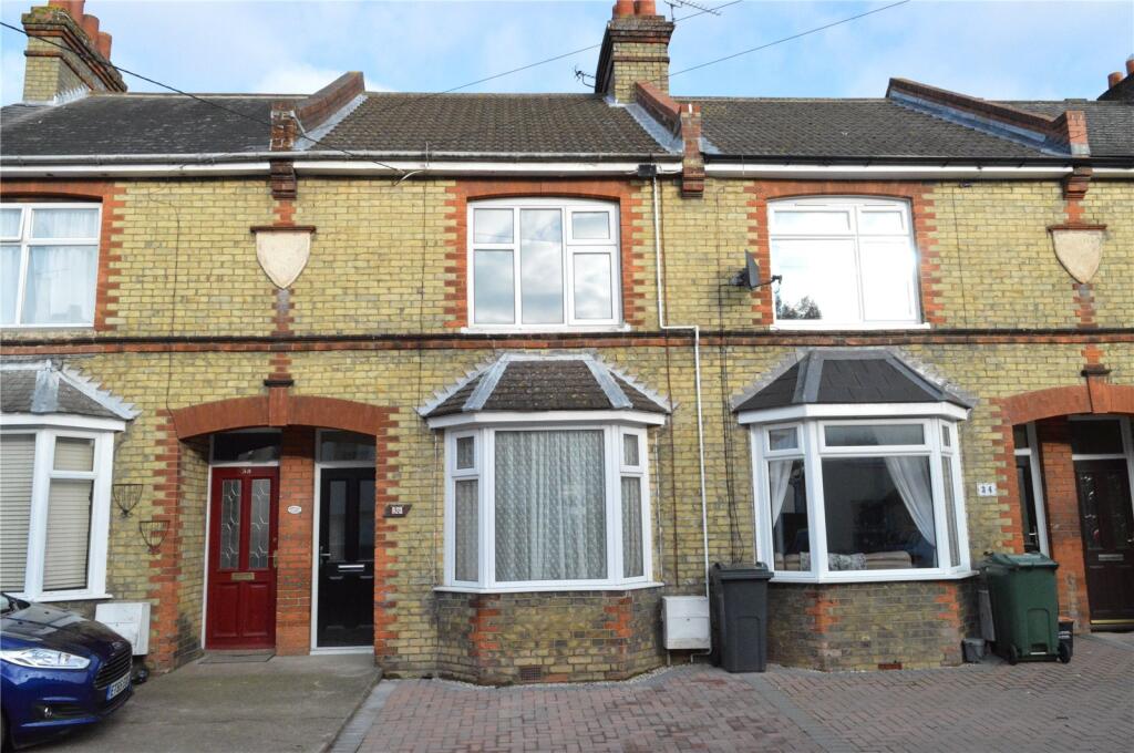
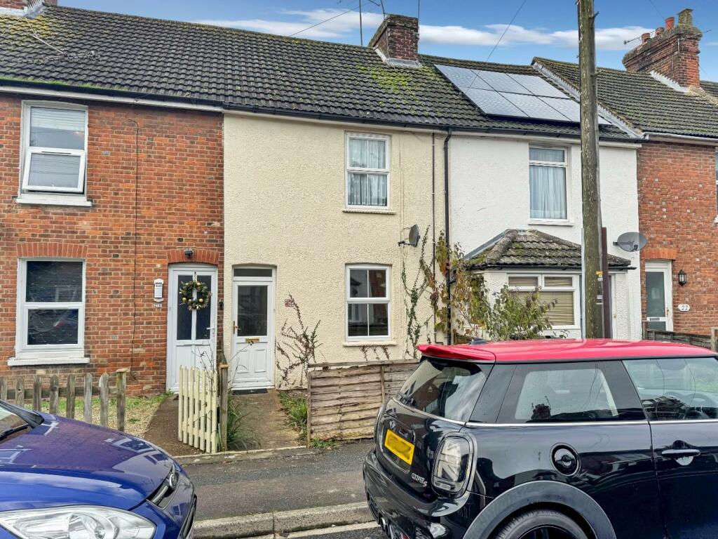
Properties For Sale in the Area
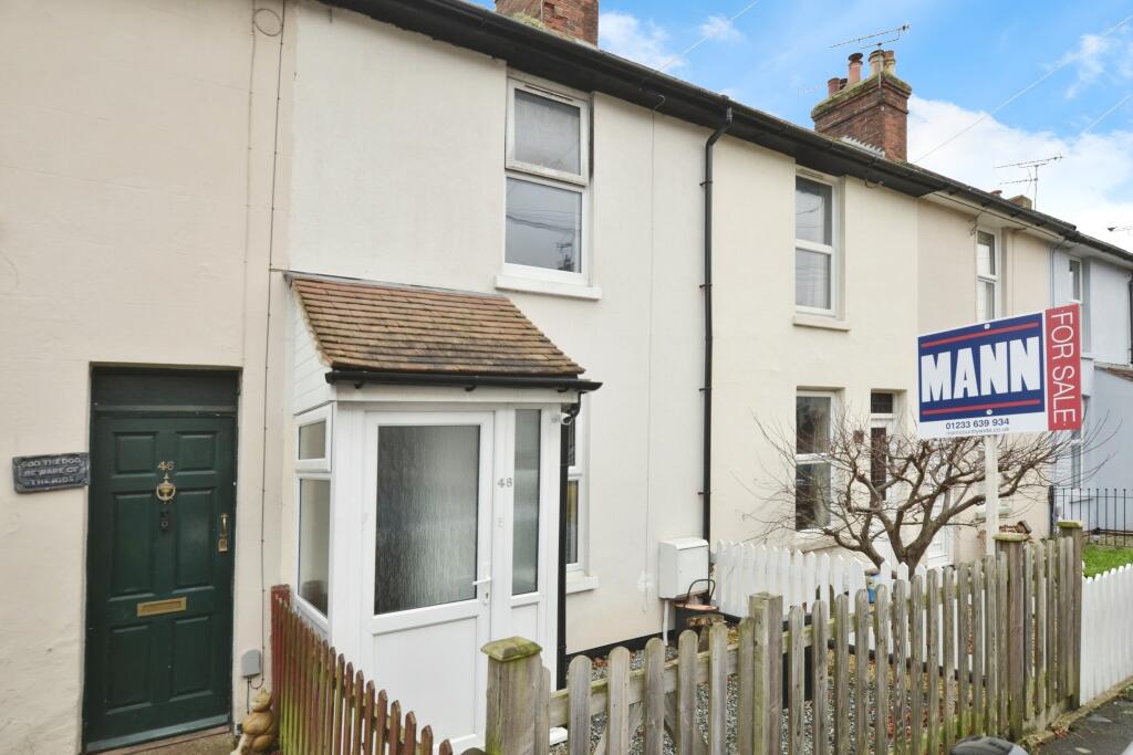
Providence Street
7 metres away
Providence Street
7 metres away
Whitfeld Road
61 metres away
Sydney Street
91 metres away
Torrington Road
0.11 km away
Whitfeld Road
0.12 km away
Properties To Let in the Area
Whitfeld Road
0.10 km away
Whitfeld Road
0.10 km away
Upper Denmark Road
0.16 km away
Lower Denmark Road
0.16 km away
Lower Denmark Road
0.22 km away
Beaver Road
0.31 km away
Schools
| Name | Type | Postcode | Distance | Rating |
|---|---|---|---|---|
| Victoria Road Primary School | Primary | TN23 7HQ | 0.79 km | Good |
| The T3 School | Special, Independent | TN23 1RD | 0.89 km | Good |
| St Simon of England Roman Catholic Primary School, Ashford | Primary | TN23 4RB | 0.94 km | Not rated |
| Chilmington Green School | Secondary | TN23 4QE | 0.97 km | Not rated |
| The North School | Secondary, Post 16 | TN24 8AL | 1.09 km | Not rated |
Transport
Bus Stops & Stations
Details provided by Department for Transport
| Name | Distance |
|---|---|
| Christchurch Road | 0.27 km |
| Bond Road | 0.28 km |
| B And Q, Norman Road | 0.29 km |
| Francis Road | 0.40 km |
| Designer Outlet Newtown Road | 0.42 km |
Train Stations
Details provided by Department for Transport
| Name | Distance |
|---|---|
| Ashford International Rail Station | 0.53 km |
Nearest Motorway
Details provided by Department for Transport
| Name | Distance |
|---|---|
| M20 | 2.55 km |
Coverage
- Average Broadband Speed:
-
14mb Basic
-
76mb Superfast
-
10000mb Ultrafast
-
10000mb Overall
- Mobile Coverage:
-
EEOkay
-
O2Good
-
ThreeGood
-
VodafoneOkay
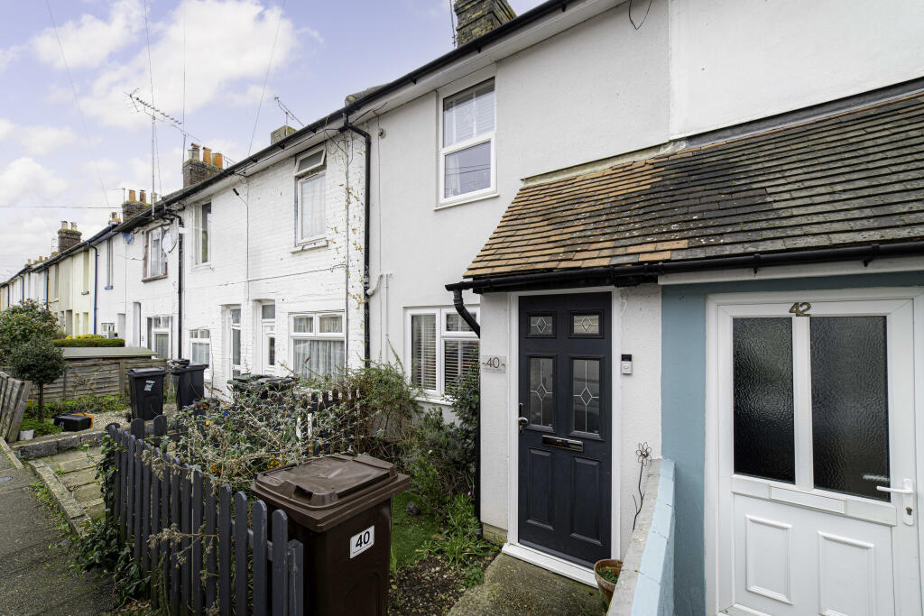
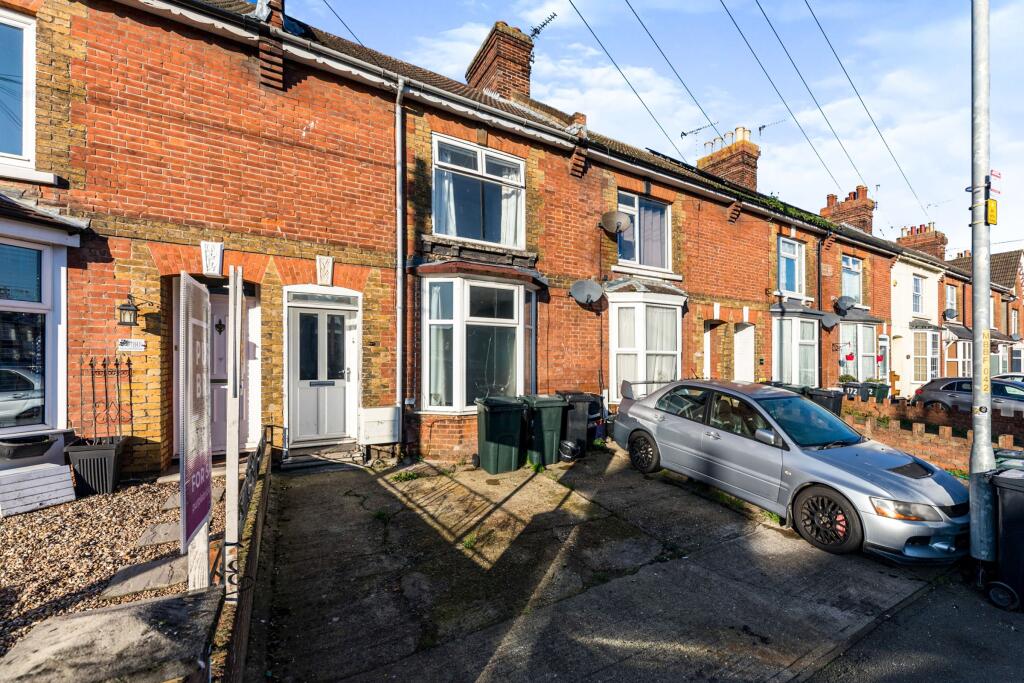
Recently Sold Properties in the Area
| Address | Property Type | Distance | Price | Completed |
|---|---|---|---|---|
|
42 Providence Street Ashford, TN23 7TW |
Terraced | 3 metres away | £245,000 | 11 months ago |
|
34 Providence Street Ashford, TN23 7TW |
Terraced | 22 metres away | £199,940 | 5 months ago |
|
27 Providence Street Ashford, TN23 7TW |
Semi-Detached | 24 metres away | £245,000 | 11 months ago |
|
8 Whitfeld Road Ashford, TN23 7TX |
Terraced | 51 metres away | £206,000 | 11 months ago |
|
9 Providence Street Ashford, TN23 7TW |
Terraced | 60 metres away | £250,000 | 9 months ago |
|
11 Riversdale Road Ashford, TN23 7TP |
Terraced | 60 metres away | £332,000 | 5 months ago |
|
19 Whitfeld Road Ashford, TN23 7TS |
Terraced | 85 metres away | £182,000 | 2 months ago |
|
29 Riversdale Road Ashford, TN23 7TP |
Terraced | 88 metres away | £335,000 | 5 months ago |
|
44 Riversdale Road Ashford, TN23 7TR |
Terraced | 91 metres away | £300,000 | 5 months ago |
|
31 Riversdale Road Ashford, TN23 7TP |
Other | 95 metres away | £277,000 | 10 months ago |
Important Notice - This report is intended for general informational purposes only and should act only as a guide. The report is produced automatically on behalf of Andrew & Co Estate Agents Ltd - Ashford by Street Insights, a product of Street Systems Ltd. Street Systems maintains and aggregates data from multiple public data sources and whilst every effort is made to keep information up to date and accurate, we make no representations or warranties of any kind about the accuracy, reliability or completeness of the information contained within this report for any purpose. Any reliance you place on the data contained within this report is strictly at your own risk. In no event will Andrew & Co Estate Agents Ltd - Ashford or Street Systems Ltd be liable for any loss or damage including without limitation, indirect or consequential loss or damage, or any loss or damage whatsoever arising from loss of data or profits arising out of, or in connection with, the use of this report.
This report contains public sector information licensed under the Open Government License v3.0
Transaction data and HPI data is produced by HM Land Registry. Crown copyright and database rights 2025